Cape York and the Tip
The northernmost point of mainland Australia, reached by a long dry-season four-wheel-drive route through Cape York Peninsula.
Updated 4 September 2026
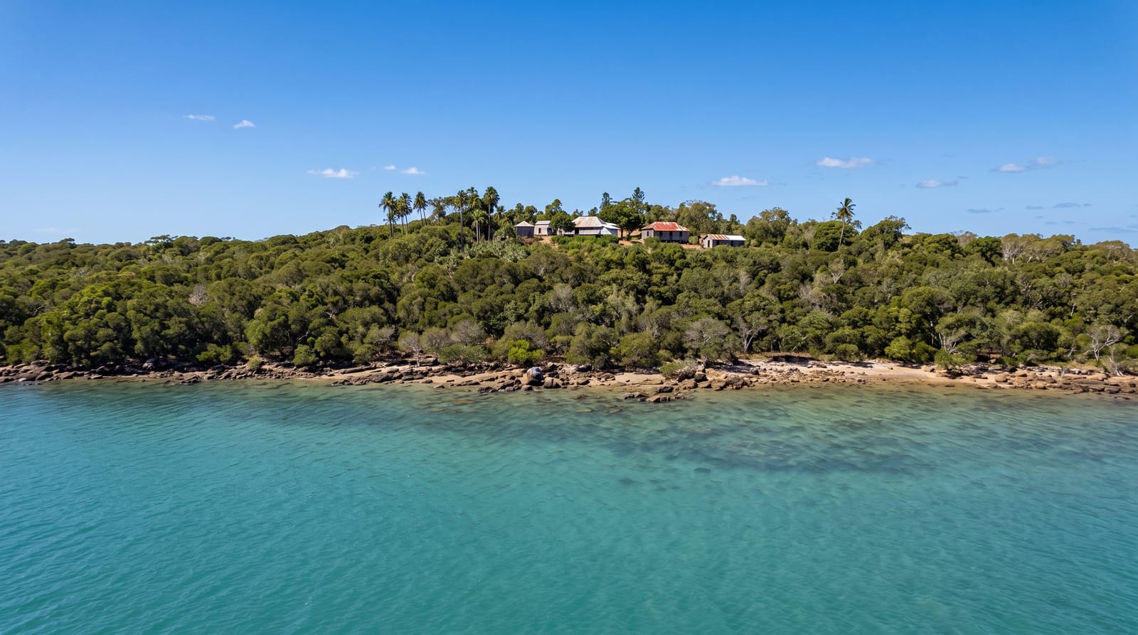
AI illustration
The Tip is a rocky headland at the top of Cape York Peninsula where a sign marks the northernmost point of the Australian mainland, reached by a short walk over rocks from the nearest track. The point itself is modest. What people come for is the journey to it: roughly a thousand kilometres north of Cairns on unsealed road, through savannah and termite country, past the rock art shelters near Laura, across the Jardine River by ferry, and for those who want it, along the old telegraph track with its creek crossings. Along the way are clear swimming holes at Fruit Bat Falls and Eliot Falls, rare on a peninsula where most water carries crocodiles. Ferries run from Seisia across to Thursday Island.
What's there
- The Tip - the marked headland and the walk over rocks to the mainland's northern point.
- Fruit Bat and Eliot Falls - clear, crocodile-free swimming holes on the Jardine plateau.
- The old telegraph track - the creek crossings that make the drive a challenge rather than a commute.
- Quinkan rock art near Laura - painted shelters in sandstone country on the way north.
When to go
The route is a dry season trip, roughly June to October. Earlier and the crossings are too deep, later and the heat and early storms make it unpleasant, then impassable. Peak traffic falls in the middle school holidays. Confirm road and ferry status before leaving Cairns, since conditions change quickly at both ends of the season.
Things to know
This is a serious expedition rather than a sightseeing drive: corrugations, dust, punctures and river crossings are normal, recovery gear and a second spare are expected, and repairs are days away. The Tip itself is a sign on a headland and disappoints anyone who came only for that. Crocodiles rule out swimming almost everywhere except the named falls.
Nearby
Seisia and Thursday Island are close to the top, with Weipa on the west coast and Laura on the way south.
What to pack for Cape York and the Tip
Chosen from what this place is for. Tap a kit for the full checklist.
- Broken-in walking shoes or boots - Grip and ankle support matter more than looks; never hike in brand-new boots. Find on Amazon
- Reef-safe sunscreen - High SPF that will not bleach the coral you are swimming over. Find on Amazon
- Spare batteries + cards - Cold and long shoots drain power; never run out at the good light. Find on Amazon
- Shelter suited to the place - Tent, tarp or hut booking - match it to the terrain and rules. Find on Amazon
Some links on this page are Amazon affiliate links - if you buy through them we may earn a small commission at no extra cost to you.
All packing kitsPlan your trip
Where to start if Cape York and the Tip is going on the list.
Booking links on this page are affiliate links - if you book through them we may earn a small commission at no extra cost to you. It never changes what we write about a place.
Opening times, ticket prices and seasonal closures change - check the official source before you go: official site.


