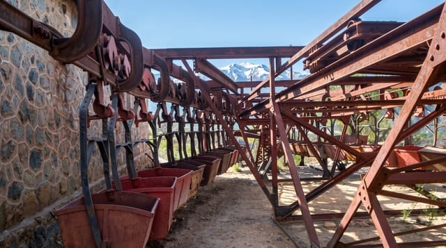
Cuesta de Miranda
A dramatic stretch of the RN40 in La Rioja that climbs through red rock gorges in nearly three hundred bends to a pass at 2,000 metres.
Updated 4 September 2026
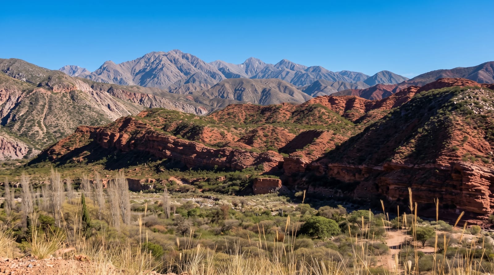
AI illustration
The Cuesta de Miranda carries the RN40 over the Sierra de Famatina foothills between Villa Unión and Chilecito, and it is one of the most striking mountain roads in western Argentina. The route follows a gorge of intensely red rock, crossing and recrossing the Miranda river, then climbs in a long series of bends, historically counted at close to three hundred, to a pass at around 2,000 metres. The old road, built in the 1920s with stone parapets, ran narrow and unpaved along the edge; today a modern paved highway carries the traffic, with viewpoints where the whole gorge unfolds in bands of crimson and ochre against green scrub. Condors are frequently seen riding the thermals above the canyon.
What you'll find
- The red gorge - crimson and ochre rock walls along the river.
- The bends - the long switchback climb to the pass at 2,000 metres.
- The viewpoints - roadside stops overlooking the whole canyon.
- The old road - remains of the 1920s stone-walled route below the new one.
When to go
April to November for the clearest conditions; summer storms can bring rockfall and flash floods through the gorge. Late afternoon light makes the red rock glow. The crossing takes about an hour without stops.
Things to know
This is a drive, not a walk, and there are no trails to speak of. The road is well made but winding, and trucks are frequent. In poor weather visibility drops fast and the gorge can be closed for clearing.
Nearby
Chilecito lies east; Villa Unión and the Talampaya road are west.
Key facts
Source: Wikidata, item Q21837437, read on 18 October 2026.
What to pack for Cuesta de Miranda
Chosen from what this place is for. Tap a kit for the full checklist.
- Comfortable walking shoes - Sightseeing means kilometres of pavement and cobbles daily. Find on Amazon
- A slim anti-theft daypack - Zips that close properly; keep it in front in crowds and on transit. Find on Amazon
- A refillable water bottle - Many cities have public fountains; save money and plastic. Find on Amazon
- A light layer + compact umbrella - For museum air-con and a sudden shower. Find on Amazon
Some links on this page are Amazon affiliate links - if you buy through them we may earn a small commission at no extra cost to you.
All packing kitsPlan your trip
Where to start if Cuesta de Miranda is going on the list.
Booking links on this page are affiliate links - if you book through them we may earn a small commission at no extra cost to you. It never changes what we write about a place.
Opening times, ticket prices and seasonal closures change - check the official source before you go: official site.