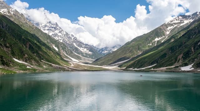
Lake Mweru
A large lake on the Luapula border, with fishing villages along a shore of sand and reeds.
Updated 2 September 2026
Lake Mweru lies along Zambia's northern border, a shallow lake around a hundred and thirty kilometres long fed by the Luapula river and draining north, with fishing villages strung along the Zambian shore and Kilwa Island a short way offshore. The fishery is the economy: nets, dugouts and the drying and smoking racks that send fish south. Sunsets across the open water are the thing visitors remember, and the shore has stretches of sand.
The landscape
- The open water - a shallow lake around a hundred and thirty kilometres long.
- The fishing villages - dugouts, nets and drying racks along the shore.
- Kilwa Island - the inhabited island a short way offshore.
- The sunsets - the light across the water from the Zambian shore.
When to go
May to September is dry with calmer water. The rains bring storms and rough conditions. Fishing bans apply in some months.
Practical notes
Facilities on the Zambian shore are very basic. Bilharzia and crocodiles make swimming risky. The roads in Luapula are slow and rough.
Nearby
Ntumbachushi Falls is south, and Nsumbu is east on Lake Tanganyika.
What to pack for Lake Mweru
Chosen from what this place is for. Tap a kit for the full checklist.
- Travel rod + reel - A packable multi-piece rod fits in a case and covers most holiday fishing. Find on Amazon
- Reef-safe sunscreen - High SPF that will not bleach the coral you are swimming over. Find on Amazon
- A small tackle selection - Hooks, weights, line and a few lures or flies suited to local waters. Find on Amazon
- Quick-dry towel - A microfibre towel packs small and dries in minutes. Find on Amazon
Some links on this page are Amazon affiliate links - if you buy through them we may earn a small commission at no extra cost to you.
All packing kitsPlan your trip
Where to start if Lake Mweru is going on the list.
Booking links on this page are affiliate links - if you book through them we may earn a small commission at no extra cost to you. It never changes what we write about a place.
Opening times, ticket prices and seasonal closures change - check the official source before you go: official site.