Cape Boujdour
The cape that scared the caravels - the lighthouse point where medieval sailors turned back, now a fishing coast of cliffs and Atlantic wind.
Saved in this browser only - no account, nothing sent anywhere. See your map
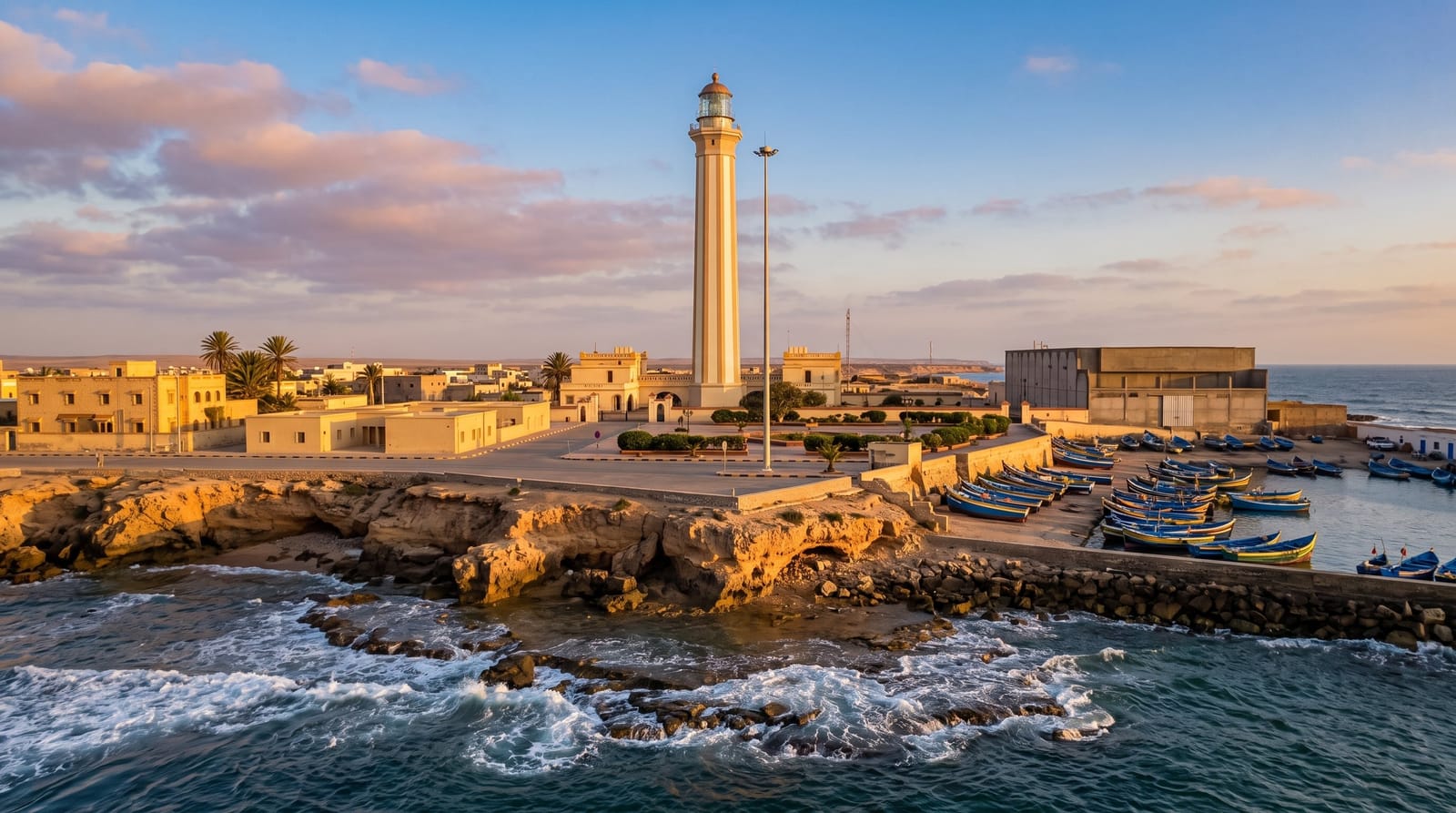
Illustrative image - a scene in the spirit of the place, not a photograph of it. Real photos are below.
For medieval Europe, Cape Boujdour was the edge of the possible: the low cape's reefs, fogs and currents turned back every Atlantic probe until Gil Eanes finally rounded it in 1434 - the navigational breakthrough that opened the age of exploration's African chapter. The modern cape wears a striped lighthouse over cliffs where Atlantic swell works the reefs that earned the old dread, Boujdour town lands its fishing fleet in daily colour, and the coastal highway's travellers stop for grilled catch, ocean wind and the plaque-worthy sense of standing where maps once wrote monsters.
What you actually see
- The lighthouse point - the striped tower over the storied cape.
- The reef swell - the Atlantic working the reefs that turned ships back.
- The fishing landings - the town fleet's daily colour.
- The 1434 memory - where the possible was redrawn.
When to go
October to May for the coast's kind months; the wind is constant and the light best at day's ends. It is the natural pause on the long coastal highway.
Honest expectations
It is a stop, not a stay - an hour of cape, catch and history folded into the coast road; facilities are town-simple and the swimming is emphatically not the point on this reef coast.
Nearby
Boujdour town, and the long highway toward Dakhla or Laayoune.
What to pack for Cape Boujdour
Chosen from what this place is for. Tap a kit for the full checklist.
Opening times, ticket prices and seasonal closures change - check the official source before you go: official site.