Langbiang Mountain
A twin-peaked mountain above Da Lat, with a jeep road up to a lower viewpoint and a longer walk to the higher summit.
Updated 30 August 2026
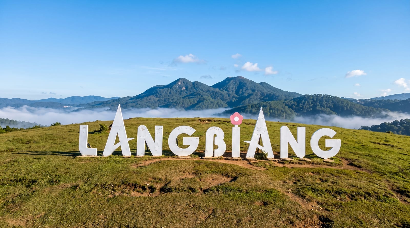
AI illustration
Langbiang stands above the plateau north of Da Lat, two peaks joined by a ridge and visible from much of the city. From the gate at Lac Duong, shared jeeps run up a steep paved road to the lower peak, where a terrace, a coffee stand and a viewpoint look over Da Lat, its lake and the pine-covered hills around it. The higher peak, close to two thousand metres, is reached on foot along a rougher trail through pine forest and grass, taking two to three hours up, and is much quieter. The land at the foot of the mountain belongs to K'Ho villages, whose story gives the two peaks their name.
What's there
- The lower peak terrace - the viewpoint over Da Lat, its lake and the surrounding pine hills.
- The jeep road - the steep paved climb run by shared vehicles from the gate.
- The summit trail - the longer walk through pine forest and grassland to the higher peak.
- K'Ho villages - the settlements at the base of the mountain around Lac Duong.
When to go
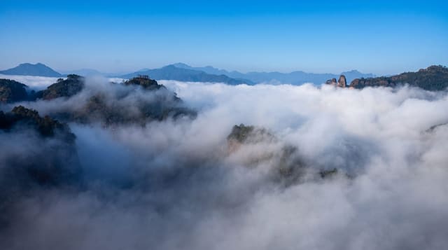
November to March is the dry season on the plateau, with cold mornings, clear skies and mist filling the valleys at dawn. The rains from May to October often close the view entirely by midday. Start early for both the mist and a quieter trail. Jeeps run continuously but queue up badly on weekends and holidays.
Practical notes
The lower peak is developed for quick visits, with statues, a coffee stand and loudspeakers, and can feel like a car park with a view attached. Jeep tickets are charged on top of entry and the ride is short. Fog is common and can erase the panorama within minutes. The walk to the higher summit is steep, exposed and poorly marked in places, and few visitors attempt it.
Nearby
Da Lat and its lake are twenty minutes south, with the Bidoup forest reserve further north.
Key facts
Source: Wikidata, item Q3217169, read on 18 October 2026.
What to pack for Langbiang Mountain
Chosen from what this place is for. Tap a kit for the full checklist.
- Broken-in walking shoes or boots - Grip and ankle support matter more than looks; never hike in brand-new boots. Find on Amazon
- Layers for big temperature swings - Warm sun by day, near-freezing at night, even near the equator. Find on Amazon
- Layers + a waterproof shell - Mountain weather turns fast; a packable rain jacket saves the day. Find on Amazon
- Extra-strong sun protection - Thin air means fierce UV; hat, sunglasses and high-SPF sunscreen. Find on Amazon
Some links on this page are Amazon affiliate links - if you buy through them we may earn a small commission at no extra cost to you.
All packing kitsPlan your trip
Where to start if Langbiang Mountain is going on the list.
Booking links on this page are affiliate links - if you book through them we may earn a small commission at no extra cost to you. It never changes what we write about a place.
Opening times, ticket prices and seasonal closures change - check the official source before you go: official site.