Gallery of Maps
A 120-metre corridor lined with painted maps of sixteenth-century Italy.
Updated 16 October 2026
UNESCO World Heritage
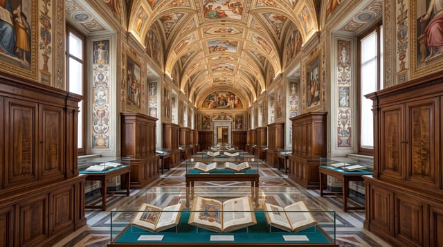
The Gallery of Maps runs 120 metres along the west side of the Belvedere courtyard, its walls painted between 1580 and 1585 with forty topographical maps of the Italian regions and papal territories, worked up from surveys by the geographer Ignazio Danti. The vaulted ceiling above them is gilded and frescoed the whole length. It is one of the busiest stretches of the whole museum route.
Background
In Italian the gallery is called the Galleria delle carte geografiche. Pope Gregory XIII commissioned it in 1580, as one of several works to decorate the Vatican. The maps follow drawings by the friar and geographer Ignazio Danti, and his brother Antonio Danti was the painter. The 40 panels took three years, from 1580 to 1583. The maps are said to be approximately 80% accurate. Two general maps follow the regional series, and perspective views of the main Italian ports of the 16th century, among them Venice, Ancona and Genoa, are grouped at one end. The ceiling carries the coats of arms of Gregory XIII, Urban VIII and Paul V.
Source: Wikipedia, "Vatican Gallery of Maps"
What to look for
- The forty maps - the Italian regions painted region by region.
- The gilded vault - the frescoed ceiling running the full length.
- The Danti surveys - the geographical work the paintings were made from.
- The 120 metres - the length of the corridor itself.
When to go
November to March is the quietest window. Early morning or late afternoon is least crowded. Closed on Sundays except the last of the month.
Practical notes
The crowd flows through here toward the Sistine Chapel and stopping is difficult. Looking up at the ceiling while moving is how most people see it. There is no seating anywhere along it.
Nearby
The Raphael Rooms are south, and the Cortile della Pigna is north.
Key facts
Source: Wikidata, item Q634691, read on 18 October 2026.
What to pack for Gallery of Maps
Chosen from what this place is for. Tap a kit for the full checklist.
- Comfortable walking shoes - Sightseeing means kilometres of pavement and cobbles daily. Find on Amazon
- A slim anti-theft daypack - Zips that close properly; keep it in front in crowds and on transit. Find on Amazon
- A refillable water bottle - Many cities have public fountains; save money and plastic. Find on Amazon
- A light layer + compact umbrella - For museum air-con and a sudden shower. Find on Amazon
Some links on this page are Amazon affiliate links - if you buy through them we may earn a small commission at no extra cost to you.
All packing kitsPlan your trip
Where to start if Gallery of Maps is going on the list.
Booking links on this page are affiliate links - if you book through them we may earn a small commission at no extra cost to you. It never changes what we write about a place.
Opening times, ticket prices and seasonal closures change - check the official source before you go: official site.