Mount Tabwemasana
The highest mountain in Vanuatu, on western Santo, climbed on a multi-day expedition.
Updated 16 October 2026
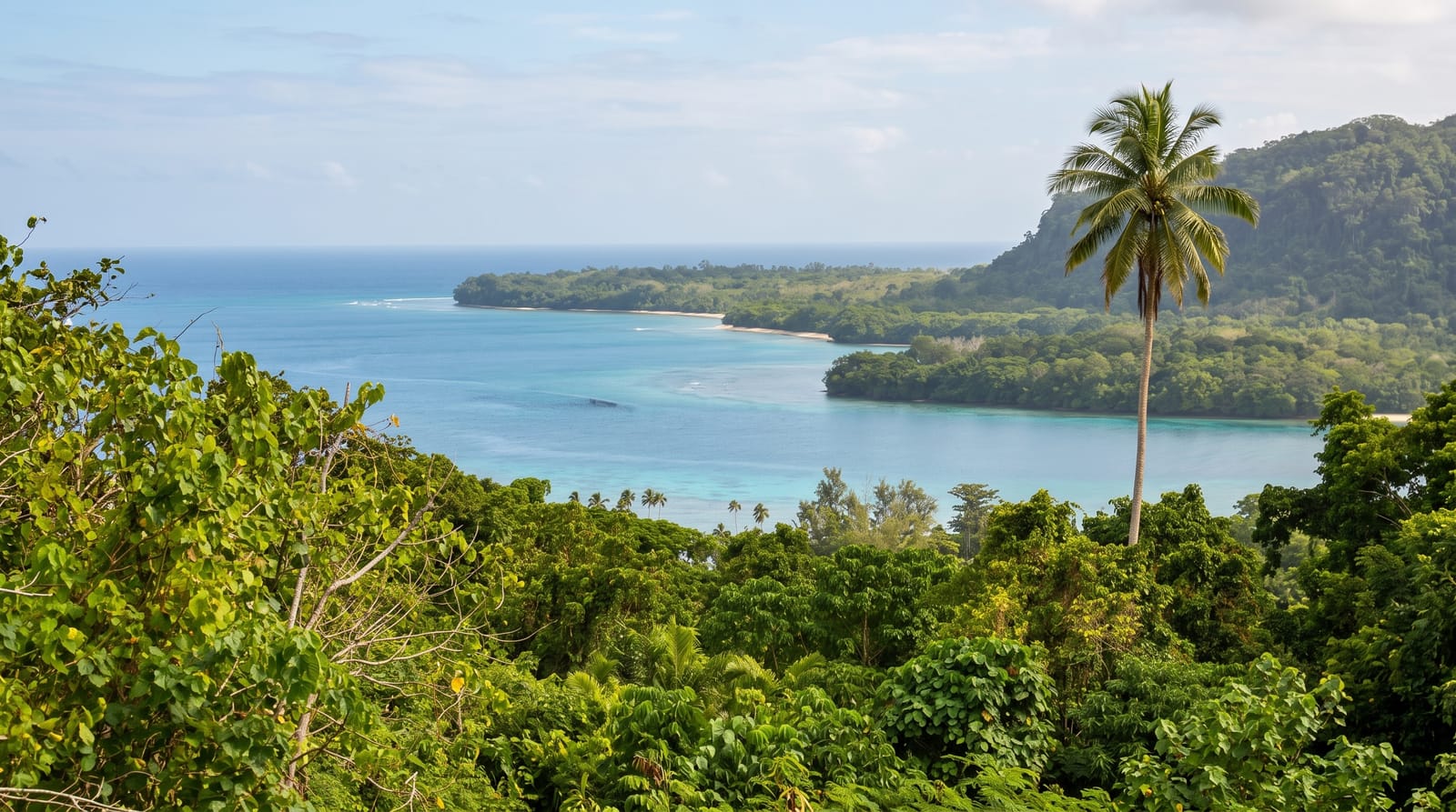
Tabwemasana rises to 1879 metres on the western side of Espiritu Santo and is the highest point in Vanuatu, a mountain in dense forest with no road anywhere near it, so the climb runs several days from the west coast through villages and rainforest with local guides and porters. Cloud sits on the top almost permanently. Very few people attempt it in any given year.
Background
Tabwemasana has two peaks, and local folklore holds that the pair, one male and one female, come together in an embrace at night. Kerepua village stood on the mountain's flanks until the 1970s, a full day's walk through thick rainforest from the coast. In the late 1970s it moved down to the coast, as many other mountain villages did, and it is now the starting point for climbs. Climbers first take a boat from Tasiriki to Kerepua, follow a river upstream, then leave the valley for a steep ascent. Usually fewer than six people reach the summit in a year. One tree, Metrosideros tabwemasanaensis, grows only on this mountain.
Source: Wikipedia, "Mount Tabwemasana"
The landscape
- The summit - 1879 metres and the highest point in the country.
- The forest route - several days walking through rainforest and gardens.
- The villages - the settlements the route passes and depends on.
- The cloud - near-permanent cover over the upper mountain.
When to go
May to October is the dry season and the only sensible window. The wet season makes the route impassable. Cloud covers the summit in any month.
Before you go
This is a multi-day expedition requiring guides, porters, custom permissions and full self-sufficiency. There is no rescue capability. The summit is almost always in cloud and there is often no view at all.
Nearby
Big Bay is east, and Luganville is southeast.
Key facts
Source: Wikidata, item Q1542459, read on 18 October 2026.
What to pack for Mount Tabwemasana
Chosen from what this place is for. Tap a kit for the full checklist.
- Broken-in walking shoes or boots - Grip and ankle support matter more than looks; never hike in brand-new boots. Find on Amazon
- Strong insect repellent - DEET or picaridin; the jungle is where bites and disease risk are highest. Find on Amazon
- Layers for big temperature swings - Warm sun by day, near-freezing at night, even near the equator. Find on Amazon
- Shelter suited to the place - Tent, tarp or hut booking - match it to the terrain and rules. Find on Amazon
Some links on this page are Amazon affiliate links - if you buy through them we may earn a small commission at no extra cost to you.
All packing kitsPlan your trip
Where to start if Mount Tabwemasana is going on the list.
Booking links on this page are affiliate links - if you book through them we may earn a small commission at no extra cost to you. It never changes what we write about a place.
Opening times, ticket prices and seasonal closures change - check the official source before you go: official site.