San Antonio River Walk
A cypress-lined walkway one level below the San Antonio streets, designed in the 1920s to stop the river being paved over.
Updated 30 August 2026
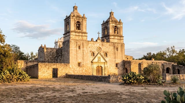
A flood in 1921 killed around fifty people and the city's response was to propose covering the downtown bend of the river with a storm sewer and paving it. Robert Hugman argued instead for keeping the water and building a park below street level, with shops facing it; his plan was largely built with federal work relief money from 1939. The result is a walkway a storey below the traffic, shaded by cypress, with stone bridges and stairs up to the streets. Barges carry visitors on narrated trips. The downtown loop is heavily commercial; the Museum Reach north and the Mission Reach south are quieter extensions, the latter running to four Spanish colonial missions on the World Heritage list.
What's there
- A walkway below street level - the 1939 solution to a flood problem.
- Cypress shade and stone bridges - Hugman's design.
- Barge tours - narrated, on the downtown loop.
- Mission Reach - running south towards the colonial missions.
When to go
October to April; summer heat is severe. Half a day.
Before you go
The downtown loop is crowded and priced for visitors. Summer heat and humidity are heavy even in the shade. Barges queue at peak. The quieter reaches need a longer walk or a bicycle.
Nearby
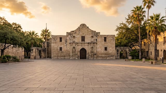
The Alamo is a block up; the missions run south along the river.
Key facts
Source: Wikidata, item Q4311109, read on 18 October 2026.
What to pack for San Antonio River Walk
Chosen from what this place is for. Tap a kit for the full checklist.
- Padded shorts - The one thing that makes a full day in the saddle bearable. Find on Amazon
- Strong insect repellent - DEET or picaridin; the jungle is where bites and disease risk are highest. Find on Amazon
- Comfortable walking shoes - Sightseeing means kilometres of pavement and cobbles daily. Find on Amazon
- Helmet - Bring your own if you have a good one; rentals vary wildly. Find on Amazon
Some links on this page are Amazon affiliate links - if you buy through them we may earn a small commission at no extra cost to you.
All packing kitsPlan your trip
Where to start if San Antonio River Walk is going on the list.
Booking links on this page are affiliate links - if you book through them we may earn a small commission at no extra cost to you. It never changes what we write about a place.
Opening times, ticket prices and seasonal closures change - check the official source before you go: official site.