Rangeley Lakes
A chain of six connected lakes in western Maine at around 500 metres, fished for brook trout since the 1860s.
Updated 16 October 2026
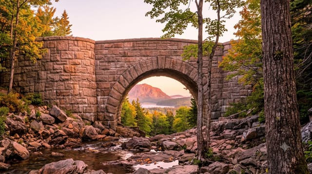
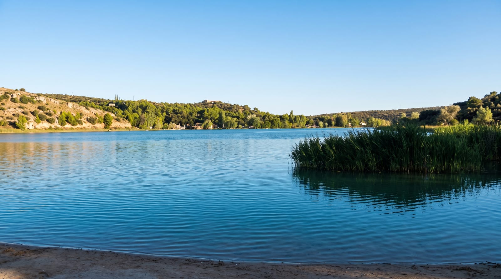
Six lakes connect through short rivers here at around five hundred metres in the western Maine mountains, and the fishing made the region's reputation: brook trout and landlocked salmon drew sportsmen from the cities by rail and stage from the 1860s, and the classic Rangeley boat, a double-ended rowing craft designed for these waters, dates from that period. Height of Land on Route 17 is a pull-off with an open view over Mooselookmeguntic and the mountains beyond, and the Appalachian Trail crosses nearby. The area sits under low light pollution and has been recognised for dark skies. Winter brings snowmobiling on a large trail network and a small ski area at Saddleback.
Background
Rangeley Lake, in Franklin County, drains from its northwestern corner through the short Rangeley River into Mooselookmeguntic Lake. From there the water passes Upper and Lower Richardson Lakes and Umbagog Lake into the Androscoggin River, and reaches the Atlantic through Merrymeeting Bay, the lower Kennebec and the Gulf of Maine. The lake lies at 1,518 feet and covers about 10 square miles, with a shoreline of 32.7 miles. Near the shore it is shallow, but the central basin averages about 95 feet and the deepest point is 149 feet. Rangeley village stands on the northeastern shore at City Cove, Oquossoc sits at the outlet, and Maneskootuk Island, also called Doctors Island, lies in the eastern part.
Source: Wikipedia, "Rangeley Lake"
What you'll find
- Six connected lakes - at around five hundred metres.
- Height of Land - the open viewpoint on Route 17.
- A brook trout fishery - drawing anglers since the 1860s.
- Dark night skies - very little light pollution.
When to go
June to October; winter for snowmobiling. A full day or several.
Before you go
Black flies in early summer are severe. Services are limited and seasonal. Winters are long and roads can be difficult. It is a long drive from any city.
Nearby
Saddleback is south-east; the Appalachian Trail crosses the region.
Key facts
Source: Wikidata, item Q7292727, read on 18 October 2026.
What to pack for Rangeley Lakes
Chosen from what this place is for. Tap a kit for the full checklist.
- Broken-in walking shoes or boots - Grip and ankle support matter more than looks; never hike in brand-new boots. Find on Amazon
- Travel rod + reel - A packable multi-piece rod fits in a case and covers most holiday fishing. Find on Amazon
- Layers + a waterproof shell - Mountain weather turns fast; a packable rain jacket saves the day. Find on Amazon
- A small tackle selection - Hooks, weights, line and a few lures or flies suited to local waters. Find on Amazon
Some links on this page are Amazon affiliate links - if you buy through them we may earn a small commission at no extra cost to you.
All packing kitsPlan your trip
Where to start if Rangeley Lakes is going on the list.
Booking links on this page are affiliate links - if you book through them we may earn a small commission at no extra cost to you. It never changes what we write about a place.
Opening times, ticket prices and seasonal closures change - check the official source before you go: official site.