Little River Canyon National Preserve
An Alabama canyon cut by a river that runs almost entirely along the top of a mountain rather than between them.
Updated 21 October 2026
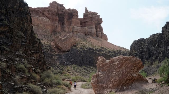
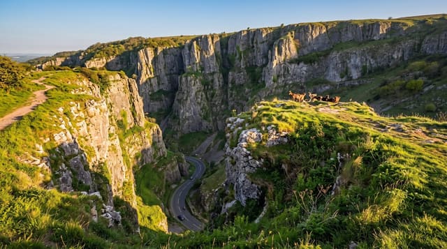
Little River is unusual: it forms and flows for almost its entire length on top of Lookout Mountain rather than in a valley between mountains, and it has cut a canyon up to about two hundred metres deep into the plateau it runs across - among the deepest canyons east of the Mississippi. Little River Falls at the head drops about fourteen metres. A rim road follows the western edge with overlooks. Whitewater in the upper canyon is technical and runs only after rain; flow drops to nothing in dry spells. The plateau supports rare plants including green pitcher plant, and the preserve is one of the more biologically diverse areas in the region. Grace's High Falls, seasonal, is the tallest in Alabama.
What you'll find
- A river running on top of a mountain - for nearly its whole length.
- A canyon up to two hundred metres deep - among the deepest in the east.
- Little River Falls - about fourteen metres at the head.
- Grace's High Falls - seasonal, the tallest in Alabama.
When to go
March to June for water; October for colour. Half a day.
Things to know
Water levels vary enormously - late summer can leave the falls dry. Whitewater is expert-only and rain-dependent. The rim road has limited guardrails.
Nearby
Fort Payne is west; Lookout Mountain runs north into Georgia.
Key facts
Source: Wikidata, item Q6651690, read on 18 October 2026.
What to pack for Little River Canyon National Preserve
Chosen from what this place is for. Tap a kit for the full checklist.
- Broken-in walking shoes or boots - Grip and ankle support matter more than looks; never hike in brand-new boots. Find on Amazon
- Quick-dry clothing - Board shorts or synthetics that shrug off spray and dry fast. Find on Amazon
- Layers + a waterproof shell - Mountain weather turns fast; a packable rain jacket saves the day. Find on Amazon
- Secure water shoes or reef boots - Grip on slippery launches and protection on rocky shores. Find on Amazon
Some links on this page are Amazon affiliate links - if you buy through them we may earn a small commission at no extra cost to you.
All packing kitsPlan your trip
Where to start if Little River Canyon National Preserve is going on the list.
Booking links on this page are affiliate links - if you book through them we may earn a small commission at no extra cost to you. It never changes what we write about a place.
Opening times, ticket prices and seasonal closures change - check the official source before you go: official site.