South West Coast Path
England's second-longest waymarked trail, after the England Coast Path, running roughly 1,014 kilometres around the peninsula from Minehead to Poole through four counties.
Updated 20 October 2026

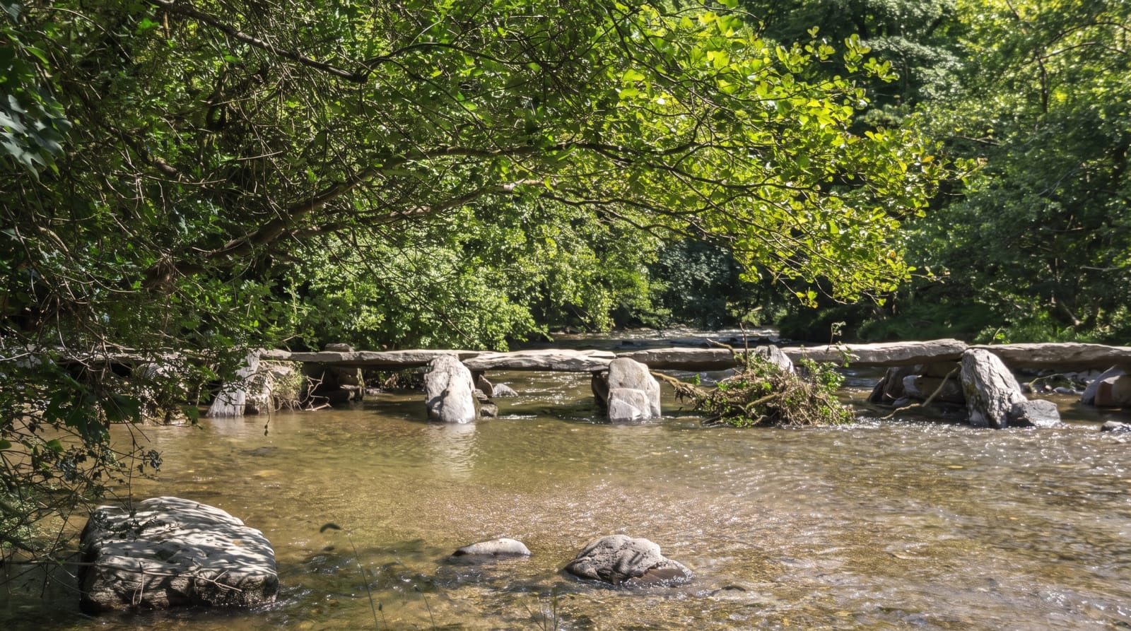
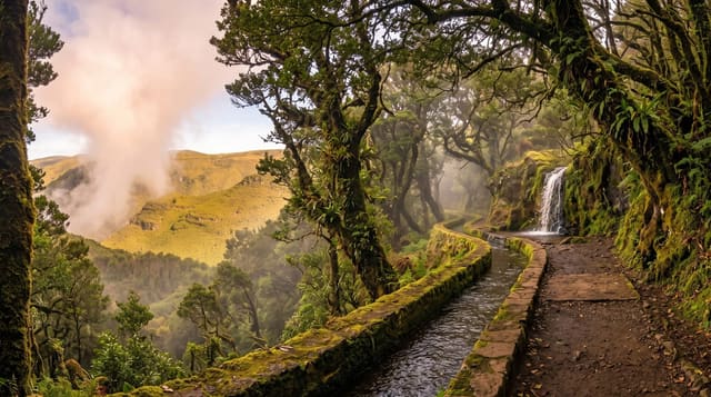
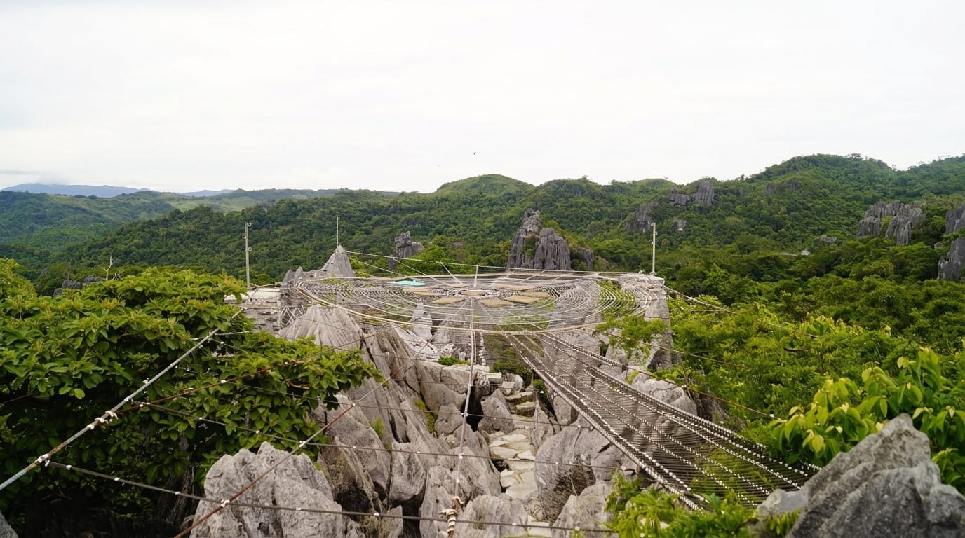
AI illustration
The path exists because coastguards needed to see into every cove while hunting smugglers, so it follows the coastline closely rather than taking the sensible line inland. That decision produced a trail of roughly 1,014 kilometres and enormous cumulative ascent, dropping to sea level at each valley mouth and climbing straight back out. Almost nobody walks it whole. Most people take sections: the wild north Cornish cliffs at Bedruthan and Boscastle, the granite headlands from Land's End to Sennen, the sheltered creeks of south Devon, the shale and clay landslips of the east Devon coast. Signage is a simple acorn symbol and the route is well maintained, which makes day sections straightforward if you plan for buses back and for the fact that the map distance is never the honest measure.
What you'll find
- North Cornish cliffs - Atlantic headlands, stacks and slate ledges.
- Granite headlands near Land's End - the far western end of the peninsula.
- South Devon creeks - sheltered estuaries crossed by small passenger ferries.
- The acorn waymarks - the trail symbol that carries you through every stile.
When to go
April to June for wildflowers on the cliff slopes and stable weather; September and early October for quiet paths and warm sea. High summer means full campsites and booked-out beds in Cornwall. Winter walking is possible but daylight is short and several sections are exposed to gales.
Things to know
The ascent is what breaks people - some Cornish days climb more than a mountain walk while never going above 200 metres. Sections are eroded, and diversions after cliff falls are frequent. Accommodation on the popular stretches is expensive and must be booked far ahead. Water and food points can be 15 kilometres apart.
Nearby
The path links Exmoor, the Cornish coast, Dartmoor's southern edge and the Dorset coastline.
Key facts
Source: Wikidata, item Q1631281, read on 18 October 2026.
What to pack for South West Coast Path
Chosen from what this place is for. Tap a kit for the full checklist.
- Broken-in walking shoes or boots - Grip and ankle support matter more than looks; never hike in brand-new boots. Find on Amazon
- Shelter suited to the place - Tent, tarp or hut booking - match it to the terrain and rules. Find on Amazon
- Layers + a waterproof shell - Mountain weather turns fast; a packable rain jacket saves the day. Find on Amazon
- A warm sleeping bag + mat - Rated a little colder than you expect the nights to be. Find on Amazon
Some links on this page are Amazon affiliate links - if you buy through them we may earn a small commission at no extra cost to you.
All packing kitsPlan your trip
Where to start if South West Coast Path is going on the list.
Booking links on this page are affiliate links - if you book through them we may earn a small commission at no extra cost to you. It never changes what we write about a place.
Opening times, ticket prices and seasonal closures change - check the official source before you go: official site.