Manavgat Waterfall
A broad low fall on the Manavgat river with tea gardens along the bank - wide rather than high, and a standard stop from Side.
Updated 21 October 2026
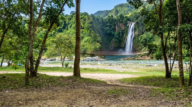
The Manavgat falls are not tall - a drop of a couple of metres - but the river is wide and the whole volume comes over a rock lip in a broad white curtain, which makes for a lot of noise and spray and a genuinely refreshing spot in a region where summer temperatures are brutal. Tea gardens and restaurants line the bank with terraces built out over the water, and the standard visit is an hour of tea, gözleme and photographs from the viewing platforms. River boats run up from Manavgat and Side and include the falls in a trip that usually takes in the river mouth and a fish lunch. Flow varies with releases from the Oymapınar dam twelve kilometres upstream, so the falls can be thunderous or comparatively modest depending on the day, and in floods they can vanish under high water. The falls appeared on the back of the Turkish five-lira note from 1968 to 1983. It is heavily commercialised, with a run of souvenir stalls at the entrance, and it is a stop rather than a destination.
The landscape
- The wide curtain - the full river over a low rock lip.
- The riverside terraces - tea gardens built over the water.
- The boat trips - river runs up from Manavgat and Side.
- The spray - the cool air the falls throw off.
When to go
April to June and September to November for the strongest flow. Mornings before the coach parties; flow depends on dam releases upstream.
Before you go
It is low and wide - visitors expecting a tall waterfall are disappointed. Heavily commercial, with stalls. Flow is dam-dependent and can be underwhelming.
Nearby
Side is fifteen minutes west; Tazı Canyon and the Köprülü river are north into the mountains.
Key facts
Source: Wikidata, item Q2574216, read on 18 October 2026.
What to pack for Manavgat Waterfall
Chosen from what this place is for. Tap a kit for the full checklist.
- Broken-in walking shoes or boots - Grip and ankle support matter more than looks; never hike in brand-new boots. Find on Amazon
- Layers + a waterproof shell - Mountain weather turns fast; a packable rain jacket saves the day. Find on Amazon
- Daypack with rain cover - 20-30 litres holds water, snacks, layers and a first-aid kit. Find on Amazon
- Offline maps + a power bank - Download the trail before you lose signal; carry backup charge. Find on Amazon
Some links on this page are Amazon affiliate links - if you buy through them we may earn a small commission at no extra cost to you.
All packing kitsPlan your trip
Where to start if Manavgat Waterfall is going on the list.
Booking links on this page are affiliate links - if you book through them we may earn a small commission at no extra cost to you. It never changes what we write about a place.
Opening times, ticket prices and seasonal closures change - check the official source before you go: official site.