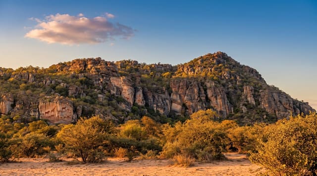
Hattusa
The Hittite capital spread over bare Anatolian hillside, with lion and sphinx gates, a stone tunnel through a rampart, and a rock sanctuary of gods.
Updated 18 October 2026

AI illustration
UNESCO World Heritage
Hattusa was the capital of the Hittites in the second millennium BC, and it is enormous - a walled city climbing a hillside, with a road loop of several kilometres linking the parts. You drive between the Great Temple in the lower town, the Lion Gate with its two weathered beasts, the King's Gate and the Sphinx Gate on the Yerkapi rampart, where a stone-paved tunnel runs right through the embankment and comes out on the slope below. Clay tablet archives found here recovered the Hittite language, the earliest Indo-European tongue we can read. Two kilometres away at Yazilikaya, a natural cleft in the rock is lined with reliefs of gods walking in procession. The city was abandoned around 1200 BC.
History
The earliest traces of settlement date from the 6th millennium BC, and late in the 3rd millennium BC the Hattians founded a town called Hattush, where Assyrian merchants from Kanesh kept a trading quarter in the 19th and 18th centuries BC. Around 1700 BC King Anitta of Kussara burned the city and set up an inscription cursing any king who resettled it, yet it was rebuilt, and around 1650 BC King Labarna moved his capital here and took the name Hattusili; apart from spells at Sapinuwa and Tarhuntassa, it remained the Hittite capital until the end of the kingdom in the 12th century BC. Charles Texier made the ruins known in 1834, Georges Perrot suggested in 1886 that Boğazköy was Hattusa, German excavations since 1906 have recovered thousands of cuneiform tablets, and in 1986 it became a World Heritage Site (Wikipedia, Hattusa).
What's there
- The Lion Gate - two worn stone lions flanking the western entrance.
- The Yerkapi tunnel - a stone-corbelled passage through the earth rampart.
- The Great Temple - foundations and storerooms of the lower town complex.
- Yazilikaya - rows of gods carved into the walls of a rock cleft.
When to go
Late spring and early autumn are best; the plateau is over a thousand metres up, so summer is hot and dry while winter brings snow and closures. Wind is constant even on warm days. Start early, because the loop plus Yazilikaya takes four to five hours if you get out and walk at each stop.
Good to know
Without a car you are stuck, and taxis from Bogazkale add up. Much of the city is foundations in grass and takes imagination. The carvings on the gates are casts, with the originals in the Ankara and Istanbul museums. There is almost no shade, few facilities, and the reliefs at Yazilikaya are badly weathered.
Nearby
Alacahoyuk, another Hittite site to the north, and the town of Corum.
Key facts
Source: Wikidata, item Q181007, read on 18 October 2026.
What to pack for Hattusa
Chosen from what this place is for. Tap a kit for the full checklist.
- Warm base layers - Merino or synthetic against the skin - never cotton, which chills when damp. Find on Amazon
- Comfortable walking shoes - Sightseeing means kilometres of pavement and cobbles daily. Find on Amazon
- Modest clothing - Shoulders and knees covered - the single most common requirement. Find on Amazon
- An insulated + windproof jacket - A down or synthetic layer under a hard shell handles most cold. Find on Amazon
Some links on this page are Amazon affiliate links - if you buy through them we may earn a small commission at no extra cost to you.
All packing kitsPlan your trip
Where to start if Hattusa is going on the list.
Booking links on this page are affiliate links - if you book through them we may earn a small commission at no extra cost to you. It never changes what we write about a place.
Opening times, ticket prices and seasonal closures change - check the official source before you go: official site.