Niuatoputapu
A remote northern island with a central ridge, reef flats and a few hundred people.
Updated 16 October 2026
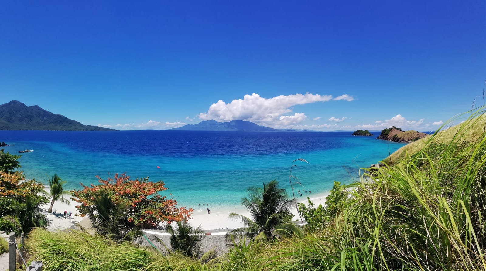
Niuatoputapu lies in Tonga's far north, closer to Samoa than to Tongatapu, a low island with an old volcanic ridge running down its middle and wide reef flats around it, holding a few hundred people in three villages. It was hit hard by the 2009 tsunami and rebuilt on higher ground. Yachts crossing between Samoa and Vava'u call here, and there is very little else. The name means very sacred coconut, and the island was an important stop on old inter-island voyaging routes.
Background
Niuatoputapu covers 16 square kilometres, and its top point is a hill of 157 metres beside Vaipoa. That hill is what erosion has left of a large volcano whose final eruption was about 3 million years ago. The island has also been known as Traitors Island and Keppel Island. Hihifo, Tongan for west, Vaipoa and Falehau are its three villages, each with a primary school. With Tafahi, 9 km to the north-northeast, and Niuafo'ou, it makes up the Niuas. Willem Schouten and Jacob Le Maire put it on European maps in 1616. The Niuatoputapu language gave way to Tongan several centuries ago, yet the local Tongan keeps Samoan, ʻUvean and Futunan elements. The 2021 count was 719 people.
Source: Wikipedia, "Niuatoputapu"
What's there
- The central ridge - the old volcanic spine running through the island.
- The reef flats - the wide shallow shelf around the shore.
- The three villages - the settlements holding the island's population.
- The yacht anchorage - the stop used by boats crossing from Samoa.
When to go
May to October is the drier season. Flights are irregular and cancelled often. Cyclone season runs November to April.
Practical notes
Transport is a small plane running rarely or a supply ship; being stranded is normal. There is no accommodation beyond staying with families. Supplies are limited and should be brought.
Nearby
Tafahi is north, and Niuafo'ou is west.
Key facts
Source: Wikidata, item Q1144842, read on 18 October 2026.
What to pack for Niuatoputapu
Chosen from what this place is for. Tap a kit for the full checklist.
- Reef-safe sunscreen - High SPF that will not bleach the coral you are swimming over. Find on Amazon
- Modest clothing - Shoulders and knees covered - the single most common requirement. Find on Amazon
- Quick-dry towel - A microfibre towel packs small and dries in minutes. Find on Amazon
- A scarf or shawl - To cover the head or shoulders on entry; women especially at mosques. Find on Amazon
Some links on this page are Amazon affiliate links - if you buy through them we may earn a small commission at no extra cost to you.
All packing kitsPlan your trip
Where to start if Niuatoputapu is going on the list.
Booking links on this page are affiliate links - if you book through them we may earn a small commission at no extra cost to you. It never changes what we write about a place.
Opening times, ticket prices and seasonal closures change - check the official source before you go: official site.