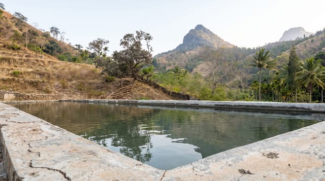
Mount Ramelau
Timor-Leste's highest peak at 2,963 metres - a pre-dawn walk to a summit Madonna, with a wide view at sunrise.
Updated 21 October 2026
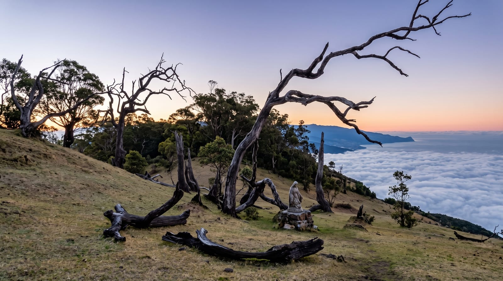
AI illustration
Ramelau, known locally as Tatamailau, rises to 2,963 metres, about 70 kilometres south of Dili, and is both the highest point of Timor island and a pilgrimage site: a three-metre statue of the Virgin Mary, made in Italy and set up in 1997, stands on the summit platform, and the annual pilgrimage falls on or around 25 March, the Feast of the Annunciation. From Hato Builico, three kilometres away, the track climbs about 910 metres and takes a fit walker around four hours, usually started in the small hours to reach the top for sunrise; it can also be climbed from Aimeta to the north.
What's there
- Sunrise from the summit - the view over the ridges on a clear morning.
- The summit Madonna - the statue that makes the mountain a pilgrimage site.
- Hato Builico village - the highland base with guesthouses and coffee.
- The highland drive - the mountain road up from Dili through coffee country.
When to go
The dry season from May to November gives the clearest summit conditions. The pilgrimage around 25 March fills the mountain with Timorese walkers. Nights at altitude are genuinely cold, near freezing at the summit before dawn.
Practical notes
The drive from Dili is four hours or more on rough mountain roads and needs a sturdy vehicle - this is not a day trip. Accommodation in Hato Builico is basic guesthouses with no heating, and the pre-dawn cold surprises visitors expecting tropical warmth. The path is clear but steep and dark; a head torch and a village guide are both sensible. Cloud can hide the sunrise entirely.
Nearby
Maubisse's highland town, the coffee country and the road south to Ainaro.
Key facts
Source: Wikidata, item Q1539961, read on 18 October 2026.
What to pack for Mount Ramelau
Chosen from what this place is for. Tap a kit for the full checklist.
- Broken-in walking shoes or boots - Grip and ankle support matter more than looks; never hike in brand-new boots. Find on Amazon
- Layers for big temperature swings - Warm sun by day, near-freezing at night, even near the equator. Find on Amazon
- Modest clothing - Shoulders and knees covered - the single most common requirement. Find on Amazon
- Layers + a waterproof shell - Mountain weather turns fast; a packable rain jacket saves the day. Find on Amazon
Some links on this page are Amazon affiliate links - if you buy through them we may earn a small commission at no extra cost to you.
All packing kitsPlan your trip
Where to start if Mount Ramelau is going on the list.
Booking links on this page are affiliate links - if you book through them we may earn a small commission at no extra cost to you. It never changes what we write about a place.
Opening times, ticket prices and seasonal closures change - check the official source before you go: official site.