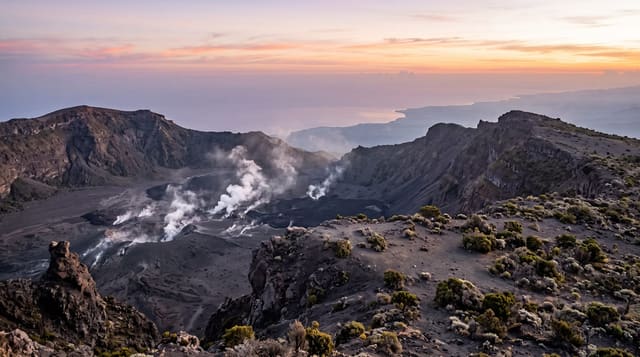
Phu Kradueng
A sandstone plateau in Loei reached by a hard climb on foot, with pine grassland, cliff sunrises and a long seasonal closure.
Updated 21 October 2026
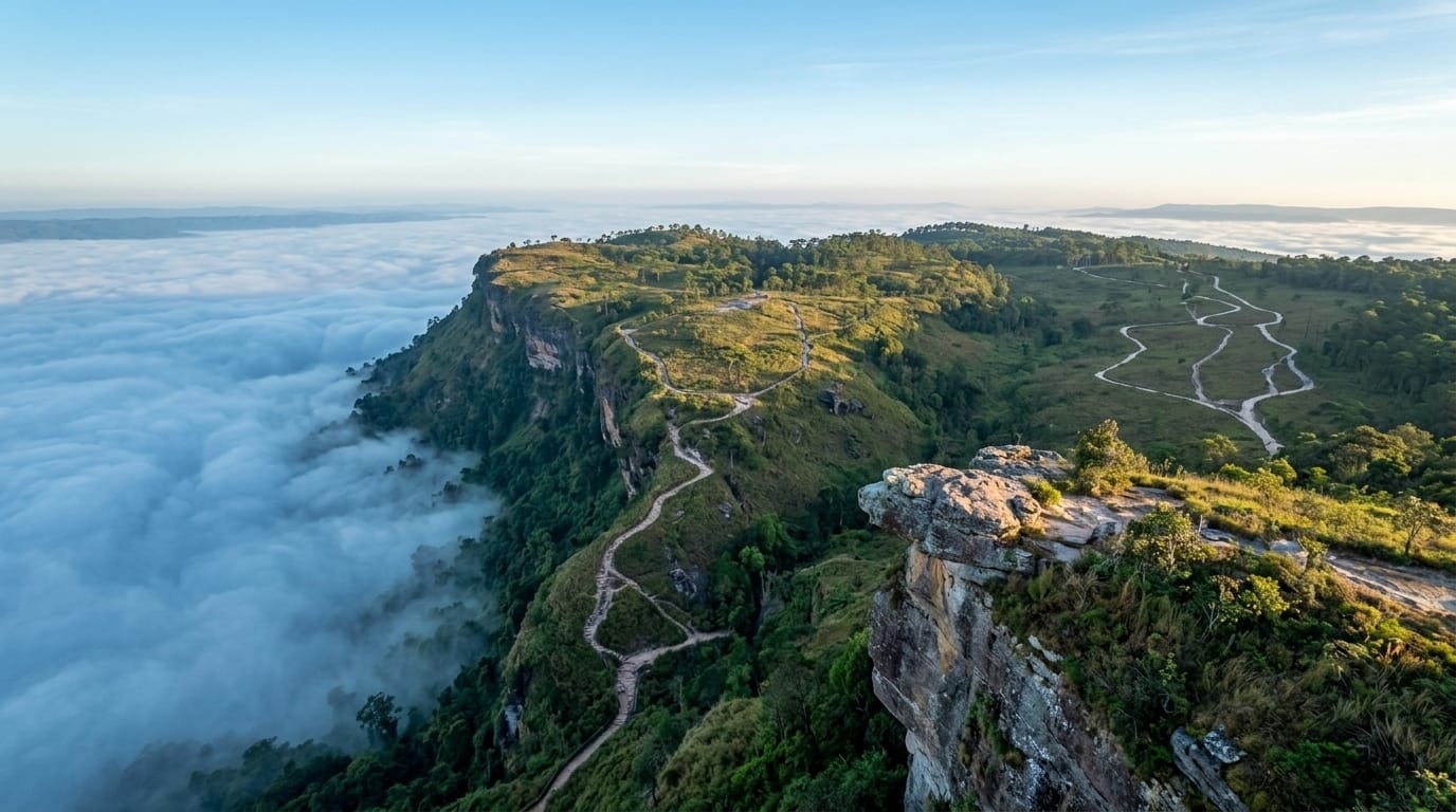
AI illustration
Phu Kradueng, named for a silhouette like a kradueng, a bell, is a flat-topped sandstone mountain in Loei, roughly thirteen hundred metres up, and the only way onto it is on foot. The ascent runs about five and a half kilometres of steep trail and rock ladders, after which the ground levels into something that does not look like Thailand at all: pine and oak over open grassland, streams, small waterfalls and cliff edges on every side. Another few kilometres of walking gets you from the rim to the campsite at Wang Kwang. Sunrise is watched from Pha Nok An on the eastern edge, sunset from Pha Lom Sak, where a flat rock ledge juts over the drop. Porters carry heavy loads up by shoulder pole, charged by weight. The plateau alone covers about sixty square kilometres, and in 1962 the mountain became Thailand's second national park, after Khao Yai; the whole park takes in about 348 square kilometres.
Highlights
- The climb to the rim - five and a half kilometres of steps, roots and ladders.
- Pha Lom Sak - the flat rock ledge over the western drop, for sunset.
- Pha Nok An - the eastern cliff where the sun comes up over the plain.
- The pine grassland - open plateau with maples turning red in the cool months.
When to go
The park shuts for the rainy season, generally from June to the end of September, and reopens in October. October and November give a green plateau and waterfalls with water in them; December and January are cold at night, with red maple leaves and the heaviest crowds. Tents and blankets are rented at the top, but booking ahead matters in the peak weeks.
What to expect
This is a real climb, four to six hours with a pack, and the plateau walk afterwards is longer than anyone expects. Nights drop close to freezing in December. New Year and long weekends fill the top with hundreds of tents and put queues at the cliff edges. Facilities are camp grade, water is limited, and the only way down is the way you came up.
Nearby
Loei town, the Phu Ruea highlands and the Mekong at Chiang Khan.
Key facts
Source: Wikidata, item Q7188244, read on 18 October 2026.
What to pack for Phu Kradueng
Chosen from what this place is for. Tap a kit for the full checklist.
- Broken-in walking shoes or boots - Grip and ankle support matter more than looks; never hike in brand-new boots. Find on Amazon
- Layers for big temperature swings - Warm sun by day, near-freezing at night, even near the equator. Find on Amazon
- Shelter suited to the place - Tent, tarp or hut booking - match it to the terrain and rules. Find on Amazon
- Layers + a waterproof shell - Mountain weather turns fast; a packable rain jacket saves the day. Find on Amazon
Some links on this page are Amazon affiliate links - if you buy through them we may earn a small commission at no extra cost to you.
All packing kitsPlan your trip
Where to start if Phu Kradueng is going on the list.
Booking links on this page are affiliate links - if you book through them we may earn a small commission at no extra cost to you. It never changes what we write about a place.
Opening times, ticket prices and seasonal closures change - check the official source before you go: official site.