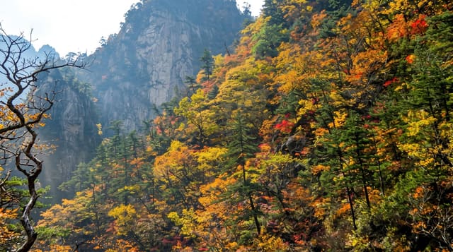
Phu Soi Dao National Park
A high pine meadow on the Laos border reached by a hard six-hour climb, with wild flowers in the wet season.
Updated 31 October 2026
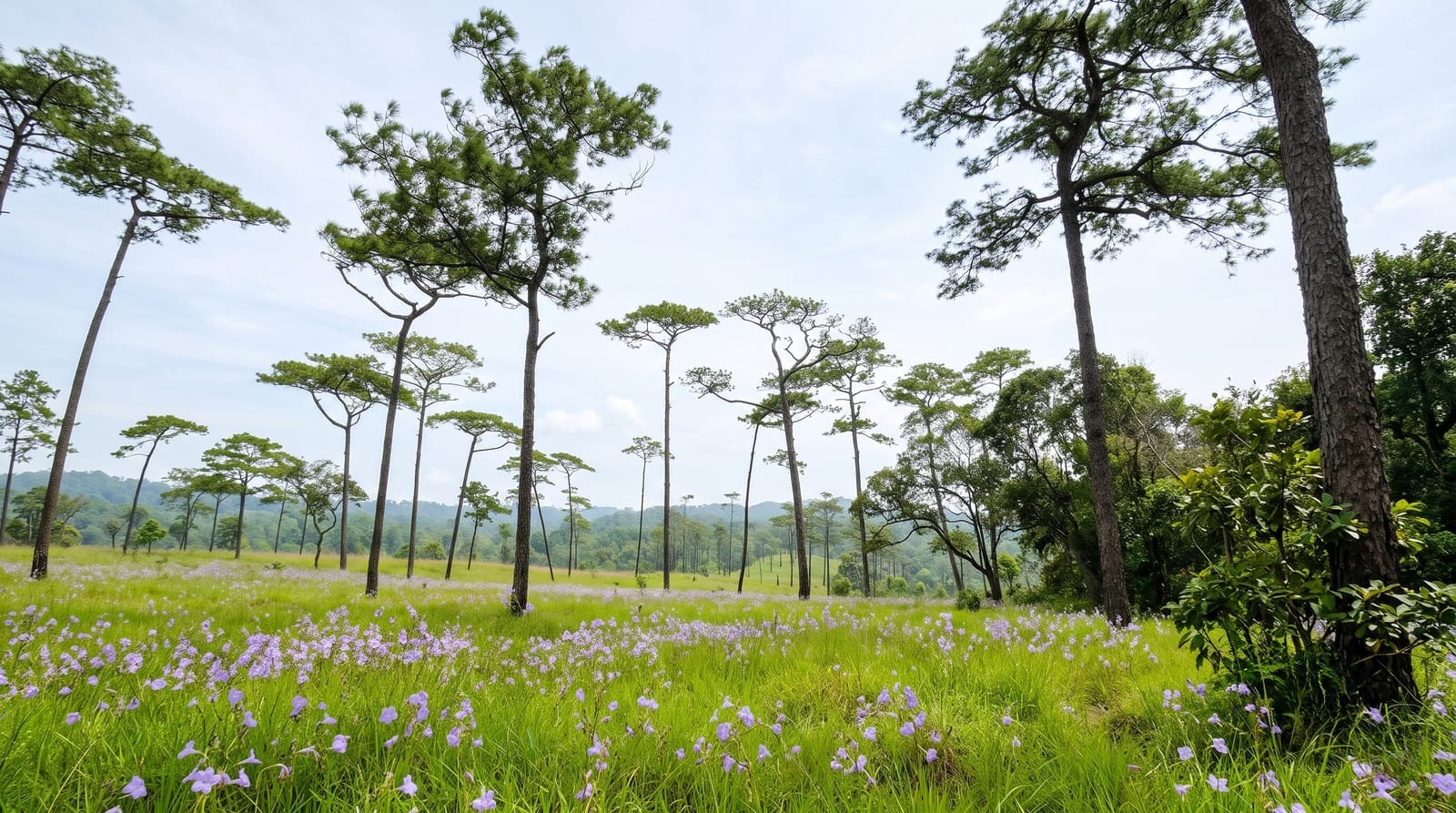
AI illustration
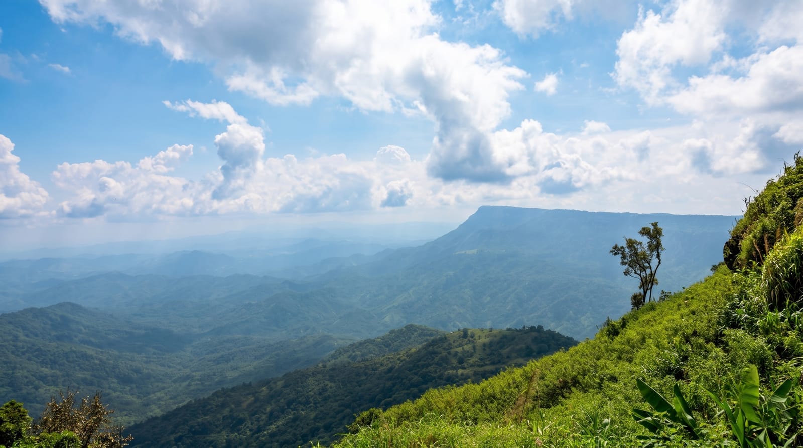
Phu Soi Dao sits on the Uttaradit and Phitsanulok border with Laos, and the summit plateau at around 1,600 metres carries an open meadow of grass and Merkus pine that is quite unlike the forest below. The climb is the substance: about 6.5 kilometres from the headquarters, taking five to six hours up in five marked stages, on a steep unshaded path that is demanding and where a good proportion of people underestimate the effort. Porters can be hired to carry gear. At the top is a camping ground and, from about September into November after the rains, the meadow flowers - dok mai din, the small ground blooms, and the wild flowers that give the plateau its reputation. Nights are cold. There is no accommodation on the summit other than tents, water is limited, and the descent is harder on the knees than the climb is on the lungs.
History
A survey began in November 1990 over just 32 km², the area was extended to 78 km² in 1992, and on 28 May 2008 Phu Soi Dao was declared Thailand's 109th national park, covering about 340 km². It is named after the 2,120 m Phu Soi Dao mountain (Wikipedia, Phu Soi Dao National Park).
What you'll find
- The summit meadow - pine over grassland at around 1,600 metres.
- The flowers - ground blooms across the plateau from September into November.
- The climb - 6.5 kilometres in five stages.
- The camping - tents on the plateau, with porters carrying gear up.
When to go
September to November for the flowers; November to February for the most settled weather. The climb is unpleasant in the heavy rains and the path becomes slippery.
What to expect
A hard five to six hour climb with little shade - people regularly underestimate it. Tents only at the top, cold at night, limited water. The descent is punishing on the knees.
Nearby
Sak Yai giant teak is south-west; Phu Hin Rong Kla is south.
Key facts
Source: Wikidata, item Q4925911, read on 18 October 2026.
What to pack for Phu Soi Dao National Park
Chosen from what this place is for. Tap a kit for the full checklist.
- Broken-in walking shoes or boots - Grip and ankle support matter more than looks; never hike in brand-new boots. Find on Amazon
- Binoculars - The single best wildlife tool - even a compact pair transforms a sighting. Find on Amazon
- Shelter suited to the place - Tent, tarp or hut booking - match it to the terrain and rules. Find on Amazon
- Layers + a waterproof shell - Mountain weather turns fast; a packable rain jacket saves the day. Find on Amazon
Some links on this page are Amazon affiliate links - if you buy through them we may earn a small commission at no extra cost to you.
All packing kitsPlan your trip
Where to start if Phu Soi Dao National Park is going on the list.
Booking links on this page are affiliate links - if you book through them we may earn a small commission at no extra cost to you. It never changes what we write about a place.
Opening times, ticket prices and seasonal closures change - check the official source before you go: official site.