Iringa
A highland town on an escarpment above the Ruaha, with a colonial-era centre and a hilltop market.
Updated 2 September 2026
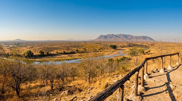
Iringa sits at about sixteen hundred metres on a bluff above the Little Ruaha, which makes it cool and dry compared with most of the country, and it grew as a German administrative post from the 1890s in country that had been the centre of Hehe resistance under Chief Mkwawa. The town keeps a compact centre of stone buildings from that period, a busy market, and the Gangilonga rock above it from which the whole plateau can be seen. It is the usual staging point for Ruaha.
What you'll find
- The stone centre - administrative buildings from the German period along the main streets.
- Gangilonga Rock - the outcrop above the town with a view over the plateau.
- The market - the town's main trading ground, busy through the week.
- The Isimila approach - the town serves as the base for the nearby Stone Age site.
When to go
May to October is dry and pleasant; nights are cold at this altitude. The wet season from December to April brings heavy afternoon rain. Market days are busiest.
Before you go
There is not a great deal to do in the town itself beyond walking it. Accommodation is functional rather than good. It is mainly a stop on the way to Ruaha or Udzungwa.
Nearby
Isimila is southwest, and Ruaha is northwest.
Key facts
Source: Wikidata, item Q735609, read on 18 October 2026.
What to pack for Iringa
Chosen from what this place is for. Tap a kit for the full checklist.
- Comfortable walking shoes - Sightseeing means kilometres of pavement and cobbles daily. Find on Amazon
- A slim anti-theft daypack - Zips that close properly; keep it in front in crowds and on transit. Find on Amazon
- A refillable water bottle - Many cities have public fountains; save money and plastic. Find on Amazon
- A light layer + compact umbrella - For museum air-con and a sudden shower. Find on Amazon
Some links on this page are Amazon affiliate links - if you buy through them we may earn a small commission at no extra cost to you.
All packing kitsPlan your trip
Where to start if Iringa is going on the list.
Booking links on this page are affiliate links - if you book through them we may earn a small commission at no extra cost to you. It never changes what we write about a place.
Opening times, ticket prices and seasonal closures change - check the official source before you go: official site.