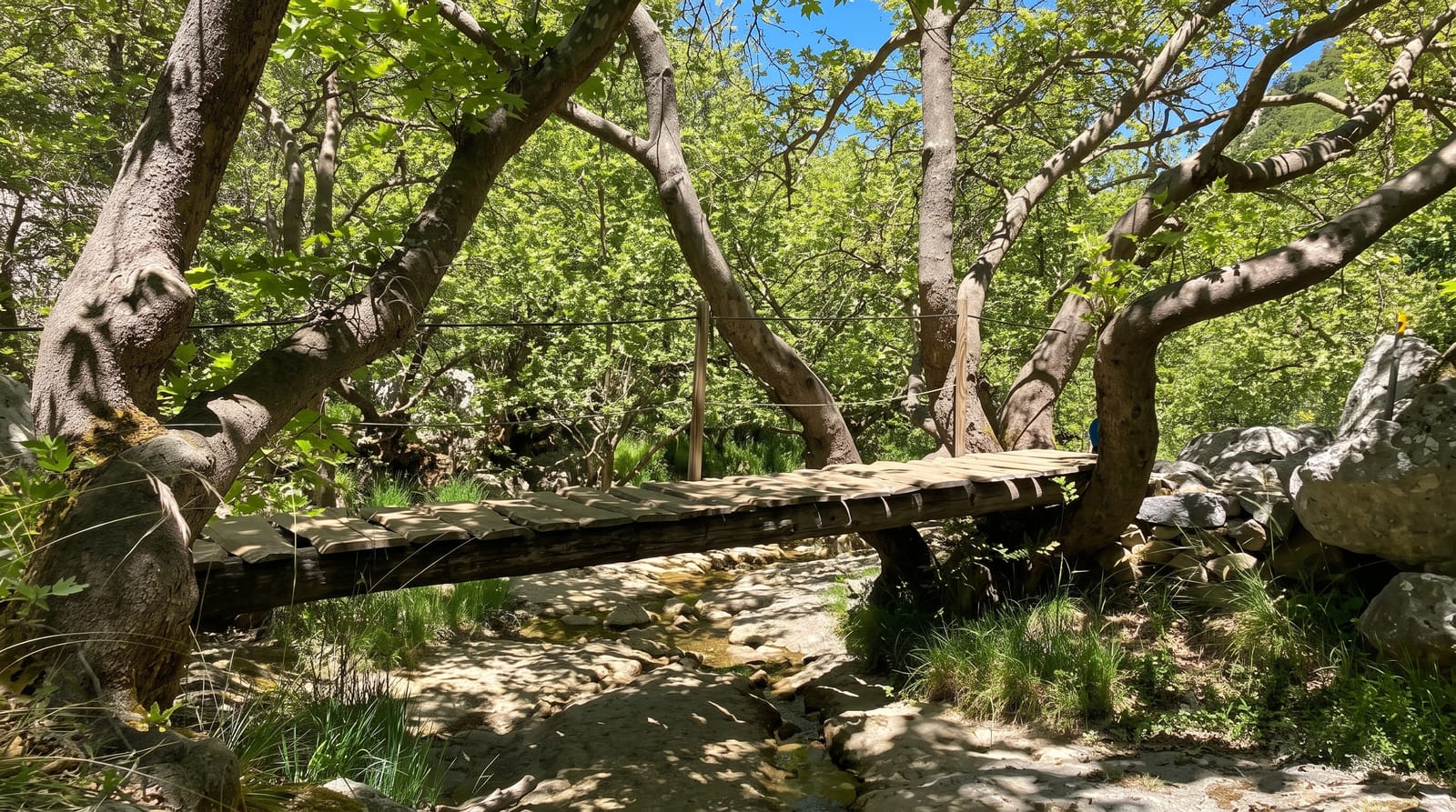
Caoling Historic Trail
A Qing-era stone path over coastal hills between Yilan and New Taipei, with a famous carved inscription on the ridge.
Updated 2 September 2026
The Caoling trail is the surviving section of the Danlan Old Road, cut in the 1820s to link Taipei with the Yilan plain over the coastal hills, and it is walked in about four hours between two railway stations. On the ridge are two carved inscriptions left by a Qing official, one reading boldly brave and the other invoking control of the winds, cut into rock in a place where the wind genuinely does hammer through. In autumn the ridge turns silver with grass.
What you'll find
- The stone path - the surviving 1820s road surface over the ridge.
- The rock inscriptions - Qing-era carvings on the ridge, including the tiger character.
- The silvergrass - the ridge turning silver from October to December.
- The coast view - Guishan Island and the Pacific from the high point.
When to go
October to December is the silvergrass season and the best time. The ridge is exposed and the wind is severe in winter. Summer is hot and humid on the climb.
What to expect
The wind on the ridge is genuinely strong and has knocked walkers over. There is no shade on the upper section. Both trailheads are on the railway, which is the practical way to do it one-way.
Nearby
Fulong is at the northern end, and Taoyuan Valley is on the ridge above.
What to pack for Caoling Historic Trail
Chosen from what this place is for. Tap a kit for the full checklist.
- Broken-in walking shoes or boots - Grip and ankle support matter more than looks; never hike in brand-new boots. Find on Amazon
- Strong insect repellent - DEET or picaridin; the jungle is where bites and disease risk are highest. Find on Amazon
- Comfortable walking shoes - Sightseeing means kilometres of pavement and cobbles daily. Find on Amazon
- Layers + a waterproof shell - Mountain weather turns fast; a packable rain jacket saves the day. Find on Amazon
Some links on this page are Amazon affiliate links - if you buy through them we may earn a small commission at no extra cost to you.
All packing kitsPlan your trip
Where to start if Caoling Historic Trail is going on the list.
Booking links on this page are affiliate links - if you book through them we may earn a small commission at no extra cost to you. It never changes what we write about a place.
Opening times, ticket prices and seasonal closures change - check the official source before you go: official site.