The Saut du Doubs
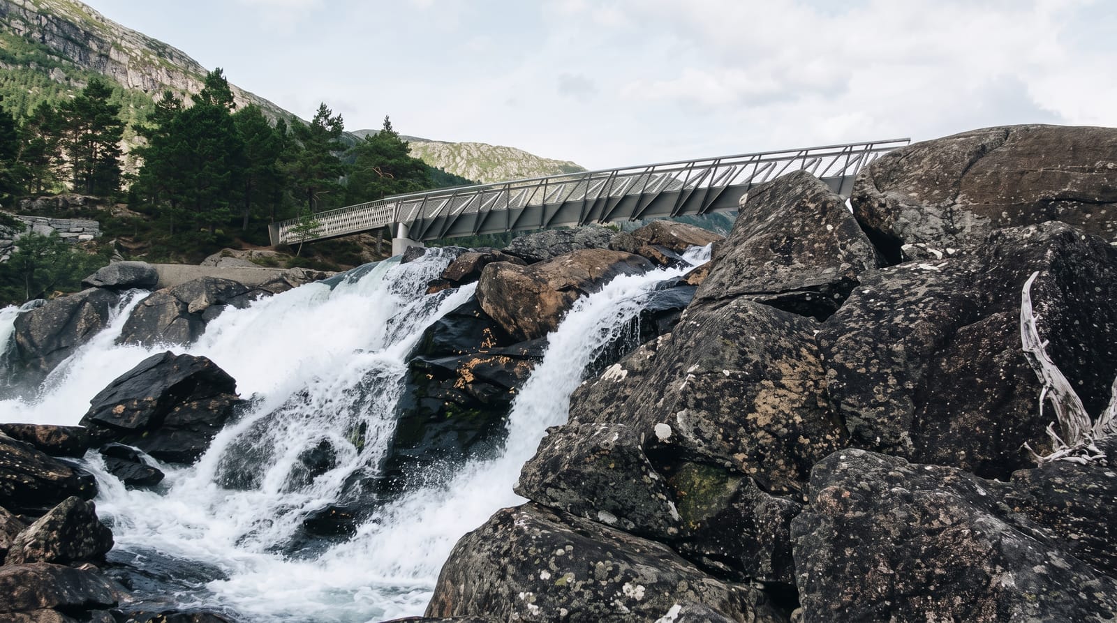
A wide fall where the Doubs drops out of a still basin between limestone cliffs, looked at from both the Swiss and French banks.
Updated 30 August 2026
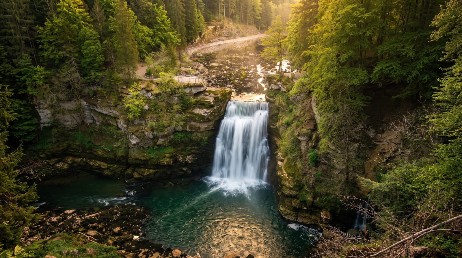
AI illustration
Above Les Brenets the Doubs slows and spreads into a long still basin between grey limestone walls, and at the end of it the whole river drops about twenty seven metres over a lip of rock into the pool below. The setting is the odd part: this is Jura plateau country rather than mountain, and the river has cut a trench into it that feels far deeper than the surrounding land suggests. The Doubs runs between Switzerland and France here, so the fall is looked at from both banks, each with its own viewing platforms. Small flat boats work the basin from Les Brenets in season, and a shore path covers the same ground on foot in about three quarters of an hour.
Highlights
- The fall itself - the river dropping in one wide sheet between the cliffs.
- The basin above - still dark water held between grey limestone walls.
- The boat trip - flat bottomed boats working up the trench from Les Brenets.
- The two banks - platforms on either side giving quite different angles on the drop.
When to go
Spring, with snowmelt and rain behind it, is when the fall carries real volume. By late summer in a dry year it can shrink to a trickle, and the boats stop running when the water is too low to float them. In hard winters ice builds around the rim. Boats operate roughly from April to October.
Things to know
Water level decides everything, and in a dry summer people arrive to find a wall of rock with a thin stream down it. Boat or walk, both take time for a short sight at the end. The path can be muddy, the platforms are small and crowded on summer weekends, and facilities at the fall itself are minimal.
Nearby
Les Brenets and Le Locle, with La Chaux-de-Fonds and the Jura ridges beyond.
Key facts
Source: Wikidata, item Q2227821, read on 18 October 2026.
What to pack for The Saut du Doubs
Chosen from what this place is for. Tap a kit for the full checklist.
- Broken-in walking shoes or boots - Grip and ankle support matter more than looks; never hike in brand-new boots. Find on Amazon
- Layers + a waterproof shell - Mountain weather turns fast; a packable rain jacket saves the day. Find on Amazon
- Daypack with rain cover - 20-30 litres holds water, snacks, layers and a first-aid kit. Find on Amazon
- Offline maps + a power bank - Download the trail before you lose signal; carry backup charge. Find on Amazon
Some links on this page are Amazon affiliate links - if you buy through them we may earn a small commission at no extra cost to you.
All packing kitsPlan your trip
Where to start if The Saut du Doubs is going on the list.
Booking links on this page are affiliate links - if you book through them we may earn a small commission at no extra cost to you. It never changes what we write about a place.
Opening times, ticket prices and seasonal closures change - check the official source before you go: official site.