Säntis
The highest peak of the Alpstein at just over two and a half thousand metres, reached by cable car from the Schwägalp.
Updated 30 August 2026
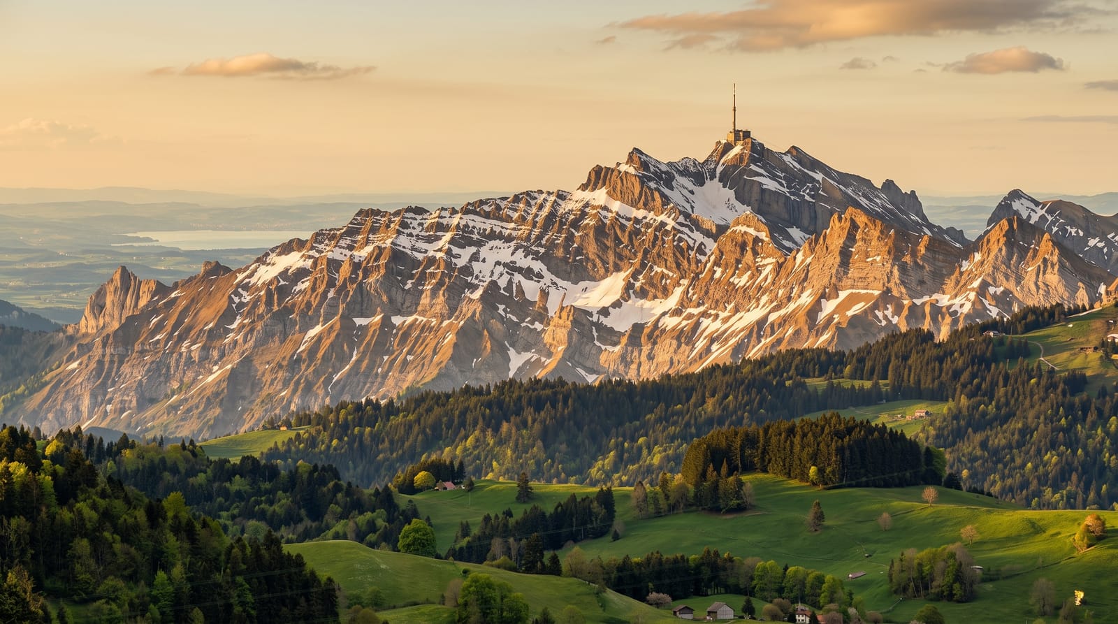
AI illustration
Säntis stands at two thousand five hundred and two metres, well clear of everything around it, which is why the summit has carried a weather station since the nineteenth century and now a tall transmission mast as well. A cable car has run up the north face from the Schwägalp since 1935 and takes about ten minutes. The reward is a view out of all proportion to the height: the ridges and small lakes of the Alpstein directly below, the flat country of the north and the wide sheet of Lake Constance on one side, and the main chain of the Alps to the south. Walkers reach the top on foot from the huts below, including by the exposed ridge from the Rotsteinpass.
Highlights
- The summit terraces - a wide view over the Alpstein, the northern lowlands and the Alps.
- The weather station - a high altitude observatory working here since the 1880s.
- The Alpstein ridges - limestone crests and small lakes lying directly below.
- The Lisengrat - the exposed ridge path from the Rotsteinpass, secured with cables.
When to go
The cable car runs year-round apart from a maintenance break in autumn. Winter days behind a cold front are the clearest and often put the summit above cloud. Ridge walking is a June to October affair and wants dry rock. Wind on the summit is strong and cold in any season, so take a layer more than you think you need.
Practical notes
The summit is built up, with the station, restaurant, terraces and mast leaving little wild ground underfoot. It is expensive, and cloud sits on the peak often enough that a fair number of visits end in fog. The walks that start here are serious mountain paths with exposure and fixed cables, not strolls. Autumn maintenance closures catch people out.
Nearby
The Schwägalp below, with Appenzell, Seealpsee and the Toggenburg valleys around it.
Key facts
Source: Wikidata, item Q15224, read on 18 October 2026.
What to pack for Säntis
Chosen from what this place is for. Tap a kit for the full checklist.
- Broken-in walking shoes or boots - Grip and ankle support matter more than looks; never hike in brand-new boots. Find on Amazon
- Spare batteries + cards - Cold and long shoots drain power; never run out at the good light. Find on Amazon
- Layers for big temperature swings - Warm sun by day, near-freezing at night, even near the equator. Find on Amazon
- Shelter suited to the place - Tent, tarp or hut booking - match it to the terrain and rules. Find on Amazon
Some links on this page are Amazon affiliate links - if you buy through them we may earn a small commission at no extra cost to you.
All packing kitsPlan your trip
Where to start if Säntis is going on the list.
Booking links on this page are affiliate links - if you book through them we may earn a small commission at no extra cost to you. It never changes what we write about a place.
Opening times, ticket prices and seasonal closures change - check the official source before you go: official site.


