Fulufjallet National Park
A flat-topped mountain plateau in northern Dalarna above the treeline, without reindeer herding, so the lichen is intact.
Updated 16 October 2026
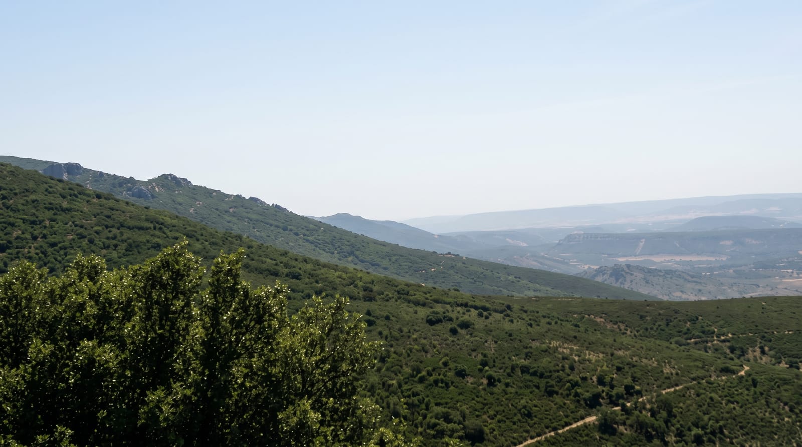
Fulufjallet was made a national park in 2002 and is unusual among Swedish mountain parks in one respect: it lies outside the reindeer herding area, so the ground lichen has never been grazed and lies thick and undisturbed on the plateau, which is rare enough to be one of the stated reasons for protection. The top is bare, flat and windswept at around a thousand metres, with old spruce and pine forest on the slopes below. A flash flood in 1997 dropped enormous rainfall on the plateau and reshaped several streams overnight, and the scars are still readable. Njupeskar, the country's highest waterfall, drops off the eastern edge.
Background
The park covers 385 square kilometres in Älvdalen Municipality, 25 kilometres southwest of Särna, and takes in the Swedish part of the Fulufjället massif, the most southerly section of the Scandes on the Swedish side. The plateau lies between 900 and 1000 metres, and the highest point on the Swedish side is Brattfjället at 1042 metres. The average temperature is about 1 °C, and snow usually lies for 175 to 200 days a year. On the night of 30-31 August 1997, 276 mm of rain fell in 24 h at the Rösjöarna lakes, the largest amount ever recorded in Sweden in a single day. Njupeskär drops 93 metres, 70 of them in free fall.
Source: Wikipedia, "Fulufjället National Park"
The landscape
- Undisturbed ground lichen - outside the reindeer herding area.
- A bare plateau at about a thousand metres - flat and exposed.
- Scars from the 1997 flood - streams reshaped overnight.
- Old spruce and pine on the slopes - below the treeline.
When to go
June to September. A full day or overnight.
What to expect
Weather on the plateau turns quickly and there is no shelter. Trails to the top are long climbs. Snow lingers into June in places. The naturum keeps seasonal hours.
Nearby
Njupeskar is on the eastern edge; Old Tjikko is on the plateau.
Key facts
Source: Wikidata, item Q761264, read on 18 October 2026.
What to pack for Fulufjallet National Park
Chosen from what this place is for. Tap a kit for the full checklist.
- Broken-in walking shoes or boots - Grip and ankle support matter more than looks; never hike in brand-new boots. Find on Amazon
- Binoculars - The single best wildlife tool - even a compact pair transforms a sighting. Find on Amazon
- Warm base layers - Merino or synthetic against the skin - never cotton, which chills when damp. Find on Amazon
- Shelter suited to the place - Tent, tarp or hut booking - match it to the terrain and rules. Find on Amazon
Some links on this page are Amazon affiliate links - if you buy through them we may earn a small commission at no extra cost to you.
All packing kitsPlan your trip
Where to start if Fulufjallet National Park is going on the list.
Booking links on this page are affiliate links - if you book through them we may earn a small commission at no extra cost to you. It never changes what we write about a place.
Opening times, ticket prices and seasonal closures change - check the official source before you go: official site.