Zumaia Flysch
Thousands of tilted rock layers along the Basque coast, recording sixty million years of Earth history including two mass extinctions.
Updated 4 September 2026

AI illustration
The flysch at Zumaia is a sequence of alternating hard and soft marine sediment layers, laid down over roughly sixty million years on a deep sea floor and later tilted almost vertical by the collision that raised the Pyrenees, then planed off by the sea into a wave-cut platform, so the layers are exposed edge-on and can be walked across like the pages of a book. The sequence includes the Cretaceous-Palaeogene boundary, the layer marking the asteroid impact that ended the dinosaurs, identified here by an iridium anomaly, and the Palaeocene-Eocene thermal maximum. Two golden spikes, international reference points for geological time, are defined at this coast. The Basque Coast Geopark runs guided walks and boat trips.
Highlights
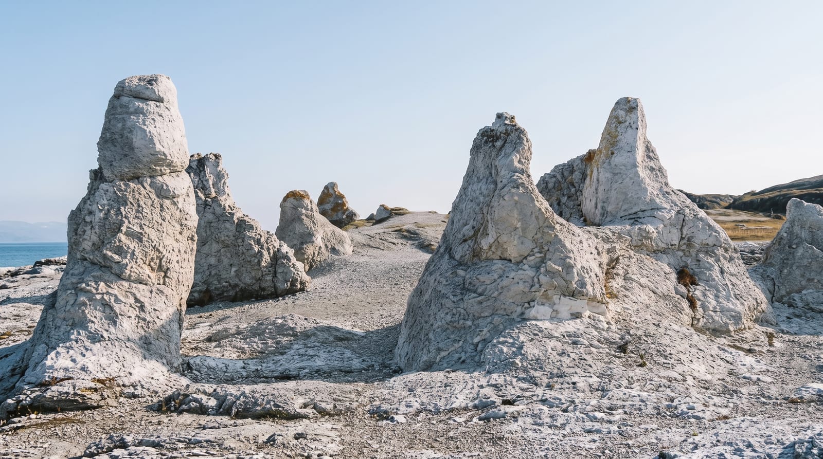
- The tilted layers - vertical rock strata across the wave-cut platform.
- The extinction boundary - the layer marking the end-Cretaceous impact.
- The golden spikes - internationally defined geological reference points.
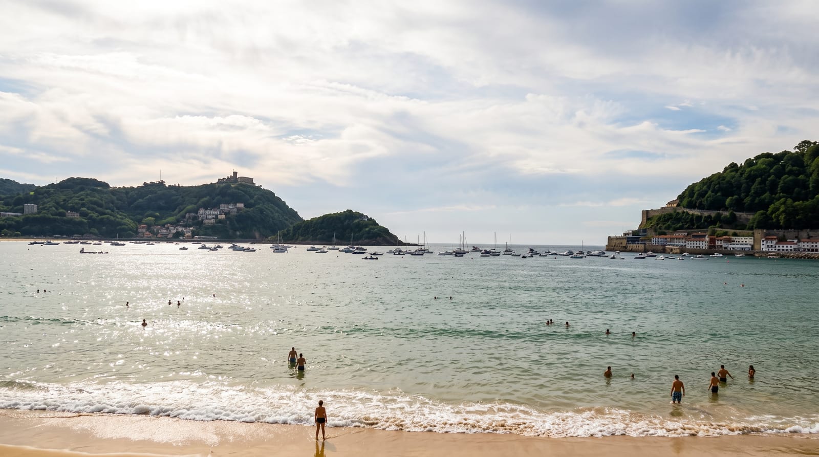
- The Itzurun beach - the shore from which the sequence is walked.
When to go
April to June and September to November; low tide is essential to walk the platform, and tide tables determine the visit more than the season. Boat trips run mainly in summer and are cancelled in swell.
Practical notes
Access to the platform depends entirely on the tide, and at high water it is under the sea. The rock is slippery and uneven. The geological significance needs a guide or reading to appreciate; without it the layers look like striped rock.
Nearby
Getaria and Zarautz lie east; Deba and the rest of the geopark coast run west.
What to pack for Zumaia Flysch
Chosen from what this place is for. Tap a kit for the full checklist.
- Broken-in walking shoes or boots - Grip and ankle support matter more than looks; never hike in brand-new boots. Find on Amazon
- Layers + a waterproof shell - Mountain weather turns fast; a packable rain jacket saves the day. Find on Amazon
- Daypack with rain cover - 20-30 litres holds water, snacks, layers and a first-aid kit. Find on Amazon
- Offline maps + a power bank - Download the trail before you lose signal; carry backup charge. Find on Amazon
Some links on this page are Amazon affiliate links - if you buy through them we may earn a small commission at no extra cost to you.
All packing kitsPlan your trip
Where to start if Zumaia Flysch is going on the list.
Booking links on this page are affiliate links - if you book through them we may earn a small commission at no extra cost to you. It never changes what we write about a place.
Opening times, ticket prices and seasonal closures change - check the official source before you go: official site.