Caldera de Taburiente National Park
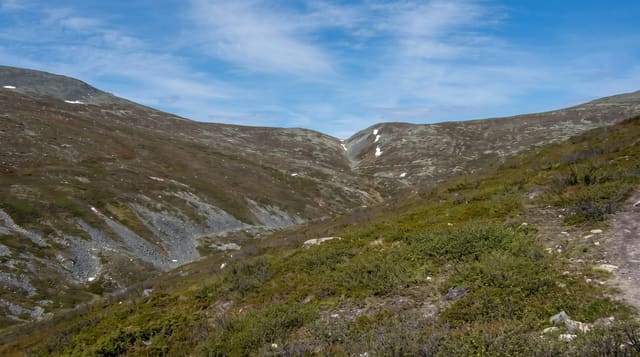
A vast erosion basin at the centre of La Palma, ringed by a wall of peaks and crossed on one long descending trail.
Updated 21 October 2026

AI illustration
Taburiente, a national park since 1954, is a huge bowl at the centre of La Palma, about ten kilometres across, walled by a ridge that rises well above two thousand metres and drained by a single gorge to the sea. It was formed by a landslide and erosion rather than by one eruption, despite the name; Taburiente is a Guanche word for a plain, and the stream in the Barranco de las Angustias is the only permanent one in the Canary Islands. The classic walk starts at Los Brecitos, reached by a four wheel drive taxi, and descends across the basin past springs and Canary pine to the Barranco de las Angustias, taking most of a day. For a short visit, the Cumbrecita viewpoint looks into the caldera from the rim and needs a parking slot booked in advance.
What you'll find
- The caldera rim - a continuous wall of peaks enclosing the basin.
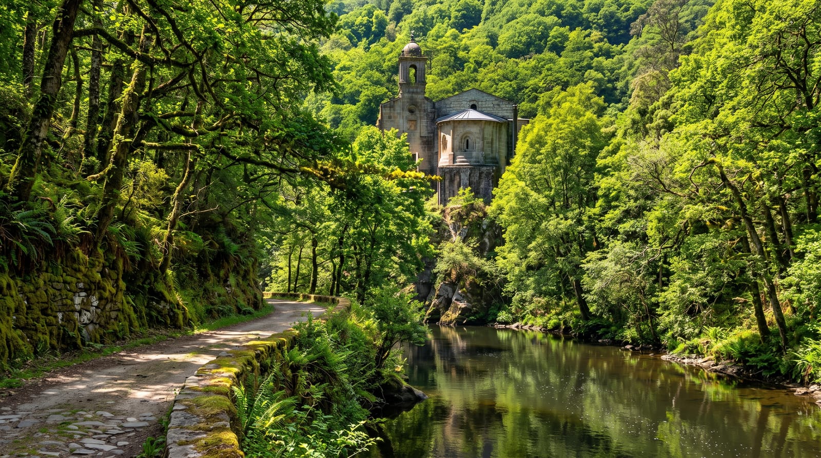
- The Los Brecitos descent - the long walk down through Canary pine to the gorge.
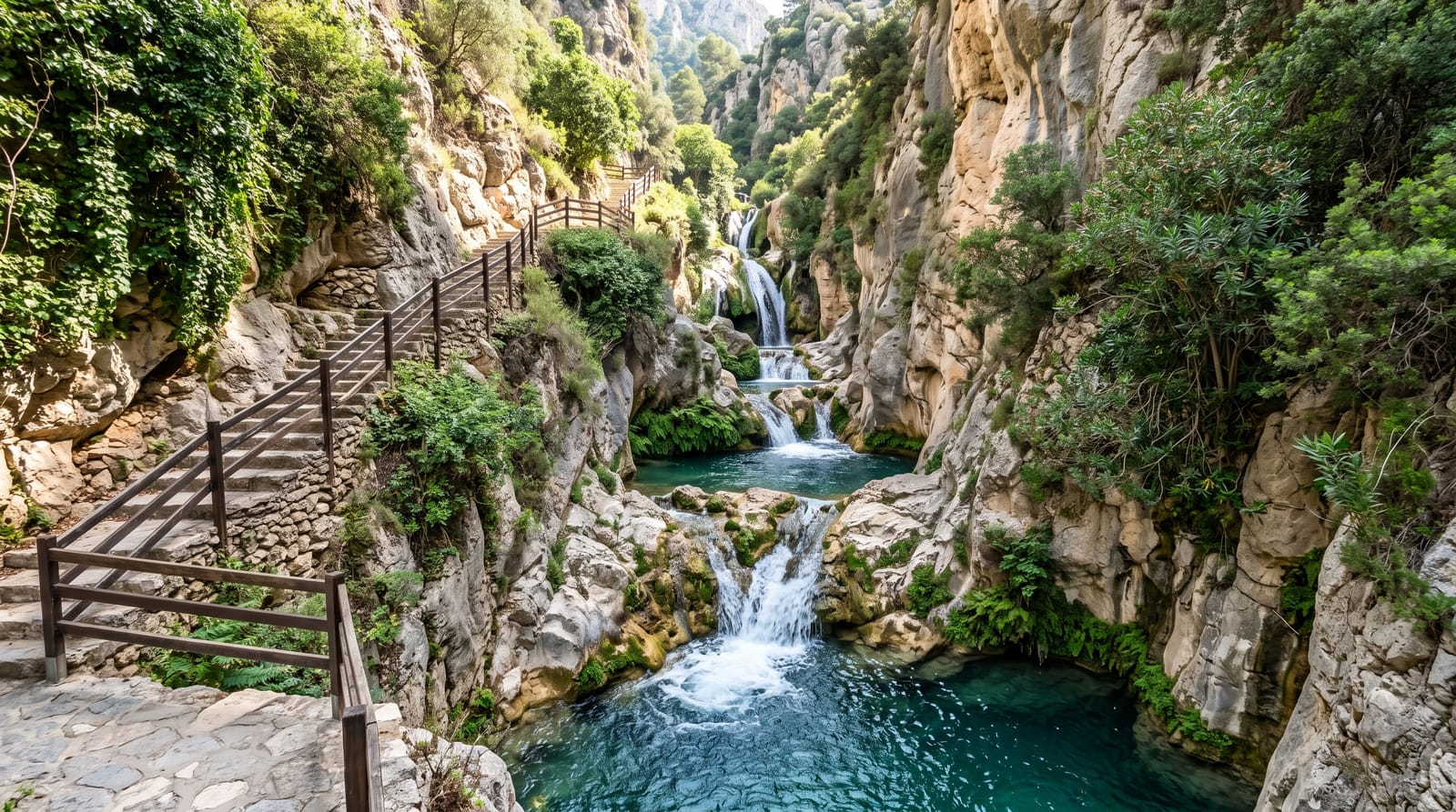
- Cascada de Colores - a mineral-stained waterfall near the bottom of the route.
- La Cumbrecita - the rim viewpoint for those not walking, by booked parking slot.
When to go
Spring and autumn give stable weather and comfortable walking temperatures. Book the Cumbrecita parking slot online days ahead; without it you are turned away at the barrier. The full crossing needs an early taxi and around six hours on foot, so start at first light. Winter can bring snow to the rim.
What to expect
The main route runs one way and needs a taxi arranged at the top and a car or lift at the bottom. It is long, dusty and hard on the knees, with several stream crossings on loose stone. There is no food or water beyond the campsite spring. Cumbrecita parking is capped and books out, and cloud often fills the basin by midday.
Nearby
Santa Cruz de la Palma on the east coast; the ridge observatories at Roque de los Muchachos.
Key facts
Source: Wikidata, item Q23988114, read on 18 October 2026.
What to pack for Caldera de Taburiente National Park
Chosen from what this place is for. Tap a kit for the full checklist.
- Broken-in walking shoes or boots - Grip and ankle support matter more than looks; never hike in brand-new boots. Find on Amazon
- Binoculars - The single best wildlife tool - even a compact pair transforms a sighting. Find on Amazon
- Warm base layers - Merino or synthetic against the skin - never cotton, which chills when damp. Find on Amazon
- Shelter suited to the place - Tent, tarp or hut booking - match it to the terrain and rules. Find on Amazon
Some links on this page are Amazon affiliate links - if you buy through them we may earn a small commission at no extra cost to you.
All packing kitsPlan your trip
Where to start if Caldera de Taburiente National Park is going on the list.
Booking links on this page are affiliate links - if you book through them we may earn a small commission at no extra cost to you. It never changes what we write about a place.
Opening times, ticket prices and seasonal closures change - check the official source before you go: official site.