Cabo de Gata
A volcanic coast of hidden coves, salt flats and near-desert in Almeria, the driest place in the Iberian Peninsula.
Updated 21 October 2026
AI illustration
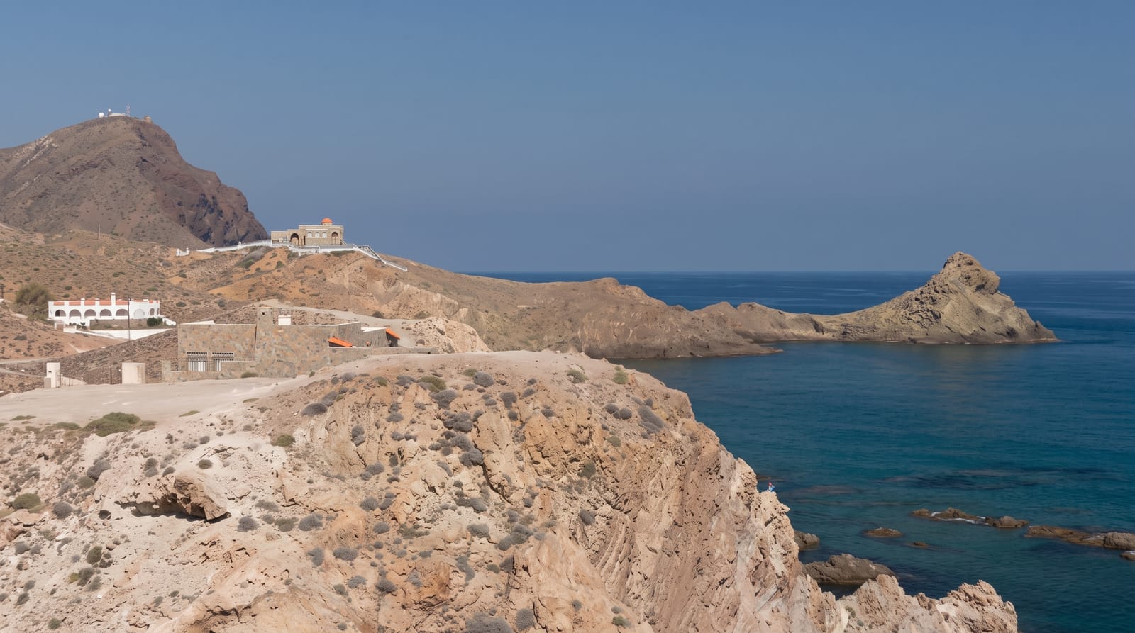
Cabo de Gata-Nijar is a coastal natural park of about 380 square kilometres protecting a landscape formed by volcanic activity around fifteen million years ago: cliffs and headlands of dark rock, small coves of pale sand between them, and inland an arid plain that receives some 150 to 170 millimetres of rain a year, with a record low of 52 in 1981, making it the driest place in the Iberian Peninsula. Beaches such as Monsul and Genoveses sit at the end of tracks with no development, and Playa de los Muertos further north is reached by a steep path. The salt flats near the lighthouse hold flamingos through much of the year. The whitewashed villages of San Jose, Las Negras and Agua Amarga are the bases.
What's there
- The volcanic coves - Monsul, Genoveses and others between dark headlands.
- The salt flats - flamingos and waders near the cape lighthouse.
- The desert interior - an arid plain with agave, palmetto and dry riverbeds.
- The white villages - San Jose, Las Negras and Agua Amarga.
When to go
April to June and September to October for warm sea without the July and August crowds; summer brings vehicle restrictions on the road to Monsul and Genoveses with a shuttle bus instead. Winter is mild but many services close.
What to expect
There is almost no shade anywhere and water must be carried. Access roads to the best beaches are unsurfaced and closed to cars in high season. Facilities are minimal at most coves, and the wind can be strong.
Nearby
Almeria city and its alcazaba lie west; the Tabernas desert is inland to the north.
Key facts
Source: Wikidata, item Q2932431, read on 18 October 2026.
What to pack for Cabo de Gata
Chosen from what this place is for. Tap a kit for the full checklist.
- Broken-in walking shoes or boots - Grip and ankle support matter more than looks; never hike in brand-new boots. Find on Amazon
- Reef-safe sunscreen - High SPF that will not bleach the coral you are swimming over. Find on Amazon
- Loose, light, long clothing - Covering up beats bare skin in the desert - and locals dress this way for a reason. Find on Amazon
- Layers + a waterproof shell - Mountain weather turns fast; a packable rain jacket saves the day. Find on Amazon
Some links on this page are Amazon affiliate links - if you buy through them we may earn a small commission at no extra cost to you.
All packing kitsPlan your trip
Where to start if Cabo de Gata is going on the list.
Booking links on this page are affiliate links - if you book through them we may earn a small commission at no extra cost to you. It never changes what we write about a place.
Opening times, ticket prices and seasonal closures change - check the official source before you go: official site.