Anaga Rural Park
A ridge of ancient laurel cloud forest in northeast Tenerife, a relict habitat that once covered the Mediterranean basin.
Updated 4 September 2026
AI illustration
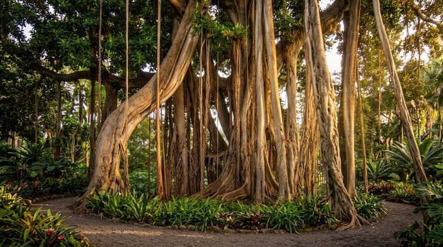
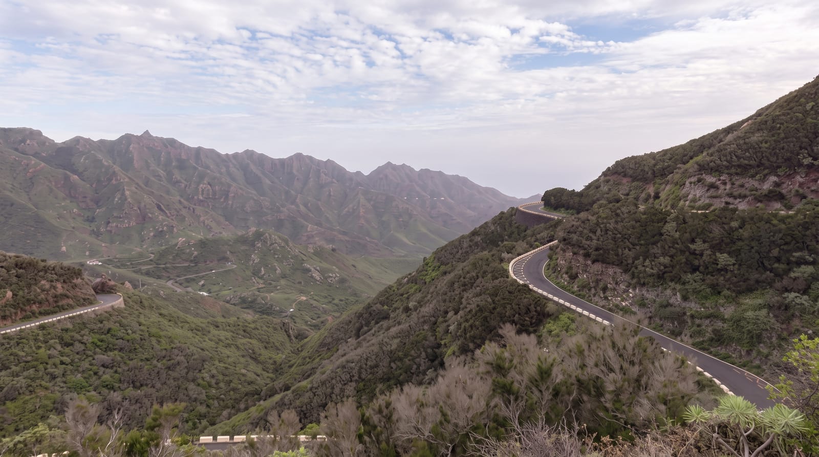
The Anaga massif is the oldest part of Tenerife, formed around seven to nine million years ago, and its steep ridges trap the moisture carried by the trade winds, producing near-permanent cloud on the north side and supporting laurisilva, a subtropical laurel forest that covered much of southern Europe and North Africa before the ice ages and now survives only on Macaronesian islands. It was designated a UNESCO biosphere reserve in 2015. The forest is dense, mossy and dripping, with a network of old paths connecting hamlets that were reachable only on foot until recently, including Chamorga, Taganana and the Roque Bermejo coast. Beaches at Benijo and Almaciga sit below the ridge on a wild north coast.
The landscape
- The laurisilva - relict laurel cloud forest surviving from before the ice ages.
- The old paths - a network of routes linking formerly roadless hamlets.
- The Benijo coast - black sand and sea stacks below the northern ridge.
- The cloud sea - trade wind cloud sitting on the ridge most days.
When to go
Year-round; the north side is cloudy and damp in every season, which is the point but limits views. Winter and spring are greenest. Some trails require a free permit with daily caps in busy periods.
What to expect
Roads through Anaga are extremely narrow and winding, with hairpins and passing places, and journeys take far longer than distances suggest. Cloud sits on the ridge most days. Parking at trailheads is minimal.
Nearby
La Laguna and Santa Cruz lie southwest; the Benijo and Taganana beaches are below the ridge.
Key facts
Source: Wikidata, item Q6063215, read on 18 October 2026.
What to pack for Anaga Rural Park
Chosen from what this place is for. Tap a kit for the full checklist.
- Broken-in walking shoes or boots - Grip and ankle support matter more than looks; never hike in brand-new boots. Find on Amazon
- Reef-safe sunscreen - High SPF that will not bleach the coral you are swimming over. Find on Amazon
- Layers + a waterproof shell - Mountain weather turns fast; a packable rain jacket saves the day. Find on Amazon
- Quick-dry towel - A microfibre towel packs small and dries in minutes. Find on Amazon
Some links on this page are Amazon affiliate links - if you buy through them we may earn a small commission at no extra cost to you.
All packing kitsPlan your trip
Where to start if Anaga Rural Park is going on the list.
Booking links on this page are affiliate links - if you book through them we may earn a small commission at no extra cost to you. It never changes what we write about a place.
Opening times, ticket prices and seasonal closures change - check the official source before you go: official site.