Alto Tajo Natural Park
Red rock canyons cut by the upper Tagus and its tributaries in Guadalajara, with kayaking and one of Spain's emptiest interiors.
Updated 4 September 2026
AI illustration
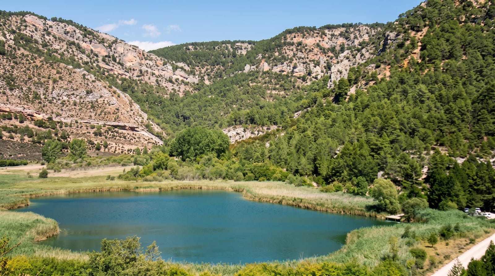
The Alto Tajo covers about 1,760 square kilometres where the Tagus and its tributaries, the Gallo, the Cabrillas and others, have cut deep gorges through red sandstone and grey limestone in the highlands of Guadalajara. The colour of the rock and the pine and juniper on the slopes give the canyons a character unlike the rest of central Spain. The area is among the least populated in Europe, part of the so-called Serrania Celtiberica, with villages of a few dozen people and long distances between services. Kayaking and rafting run on the Tagus in spring, and the Barranco de la Hoz with its cliff-set sanctuary and the Salto de Poveda are among the marked routes. Otters, vultures and golden eagles are present.
What you'll find
- The red canyons - gorges cut through sandstone by the upper Tagus.
- The Barranco de la Hoz - a narrow gorge with a sanctuary under the cliff.
- The kayaking - spring paddling on the Tagus headwaters.
- The empty villages - settlements of a few dozen residents.
When to go
April to June for water levels and green, September to October for autumn colour; the highlands are severely cold in winter, with Molina de Aragon regularly recording Spain's lowest temperatures. Summer brings fire restrictions.
Good to know
Services are very sparse, with long distances between fuel, food and accommodation, and phone coverage is patchy. Roads are slow and winding. Kayaking depends on water releases and is seasonal.
Nearby
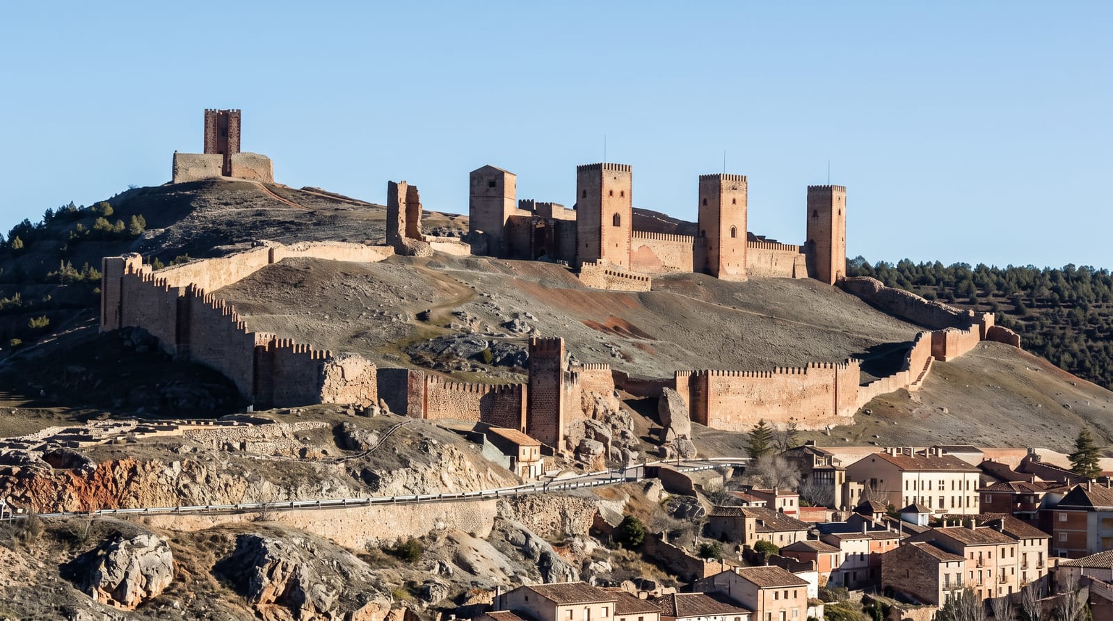
Molina de Aragon and its castle lie northeast; Siguenza is west.
What to pack for Alto Tajo Natural Park
Chosen from what this place is for. Tap a kit for the full checklist.
- Broken-in walking shoes or boots - Grip and ankle support matter more than looks; never hike in brand-new boots. Find on Amazon
- Quick-dry clothing - Board shorts or synthetics that shrug off spray and dry fast. Find on Amazon
- Layers + a waterproof shell - Mountain weather turns fast; a packable rain jacket saves the day. Find on Amazon
- Secure water shoes or reef boots - Grip on slippery launches and protection on rocky shores. Find on Amazon
Some links on this page are Amazon affiliate links - if you buy through them we may earn a small commission at no extra cost to you.
All packing kitsPlan your trip
Where to start if Alto Tajo Natural Park is going on the list.
Booking links on this page are affiliate links - if you book through them we may earn a small commission at no extra cost to you. It never changes what we write about a place.
Opening times, ticket prices and seasonal closures change - check the official source before you go: official site.