Valley of Desolation
Dolerite columns up to 120 metres high standing on a plateau edge, formed by a hundred million years of erosion.
Updated 21 October 2026
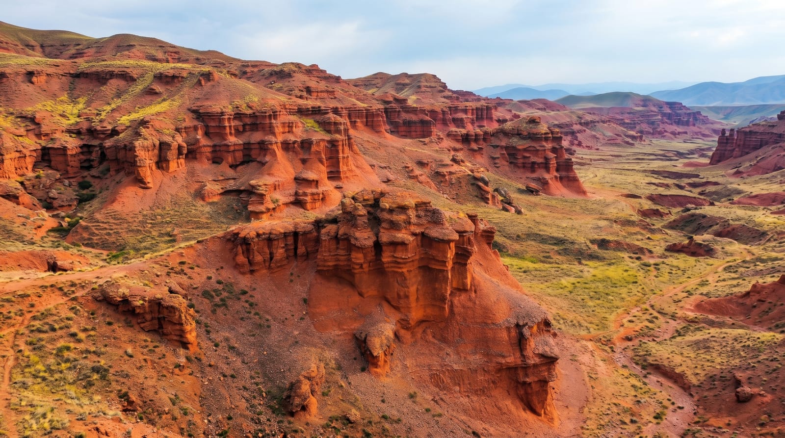
The Valley of Desolation is the edge of a plateau above Graaff-Reinet where columns of dolerite stand free of the cliff, some of them up to 120 metres high. The geology is straightforward and slow: molten rock intruded into softer Karoo sediments around 180 million years ago and cooled hard, and erosion since has stripped away everything softer, leaving the resistant dolerite standing as pillars and buttresses over a scree-filled valley. The road climbs to a parking area and short paths lead to viewpoints on the rim, looking down the columns with the town, the Nqweba Dam and the Camdeboo plains beyond. Late afternoon is when to be there - the rock turns orange and the shadows fill the valley. It was declared a national monument in 1935, the painter Pierneef put it on canvas, and the interpretive signs handle the geology properly. Klipspringer live on the rocks and vultures use the updraught.
What's there
- The dolerite columns - free-standing pillars up to 120 metres on the plateau edge.
- The erosion story - hard intrusions left standing as softer rock washed away.
- The plains view - Graaff-Reinet, the dam and the Camdeboo laid out below.
- The late light - rock turning orange with shadow filling the valley.
When to go
March to May and September to November, in late afternoon. Two hours.
What to expect
Viewpoint edges are unfenced with long drops. Summer heat on the exposed rim is severe. The park gate has fixed hours and closes before dark. Parking is small and fills for sunset.
Nearby
Graaff-Reinet is directly below; Camdeboo's game section is north.
Key facts
Source: Wikidata, item Q13036261, read on 18 October 2026.
What to pack for Valley of Desolation
Chosen from what this place is for. Tap a kit for the full checklist.
- Comfortable walking shoes - Sightseeing means kilometres of pavement and cobbles daily. Find on Amazon
- A slim anti-theft daypack - Zips that close properly; keep it in front in crowds and on transit. Find on Amazon
- A refillable water bottle - Many cities have public fountains; save money and plastic. Find on Amazon
- A light layer + compact umbrella - For museum air-con and a sudden shower. Find on Amazon
Some links on this page are Amazon affiliate links - if you buy through them we may earn a small commission at no extra cost to you.
All packing kitsPlan your trip
Where to start if Valley of Desolation is going on the list.
Booking links on this page are affiliate links - if you book through them we may earn a small commission at no extra cost to you. It never changes what we write about a place.
Opening times, ticket prices and seasonal closures change - check the official source before you go: official site.