Cap Moule à Chique
The southern tip of Saint Lucia, with a lighthouse and the view across to Saint Vincent.
Updated 3 September 2026
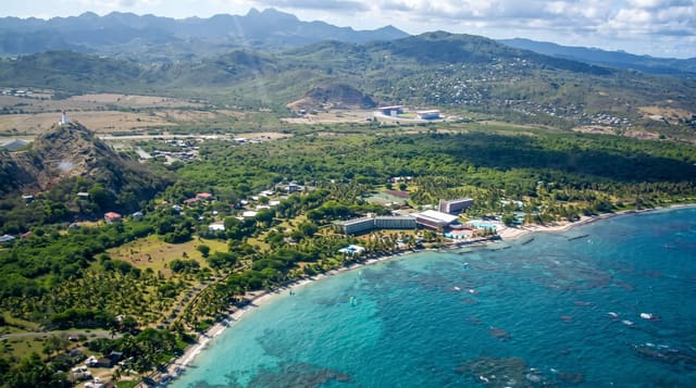
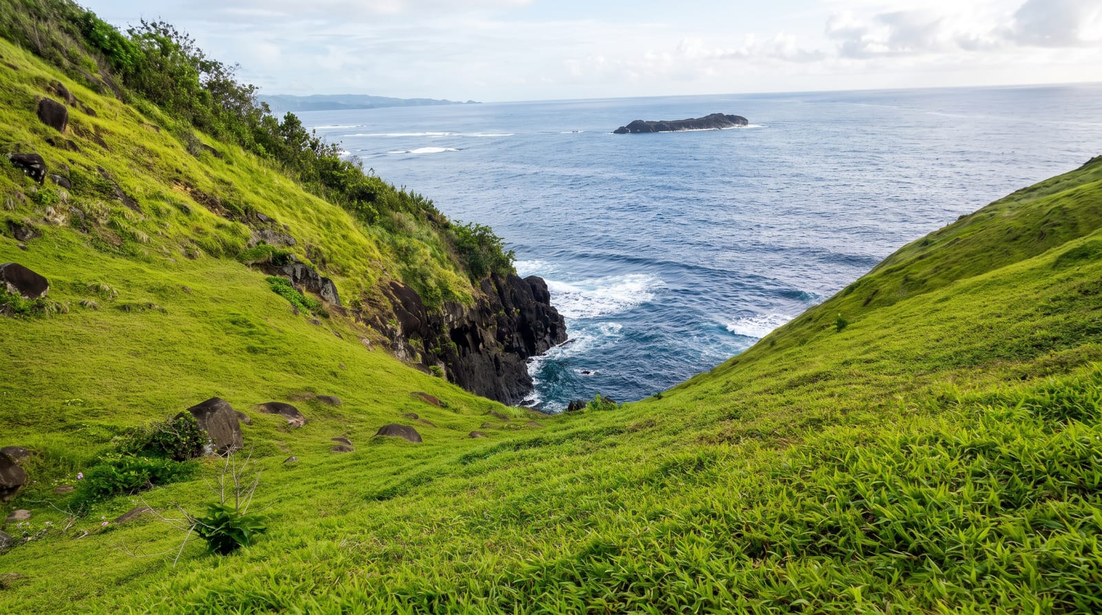
Cap Moule à Chique is the southernmost point of Saint Lucia, a headland rising steeply above Vieux Fort with a lighthouse on the top and the whole southern end of the island laid out below: the airport runway, the town, the bay, the Maria Islands offshore and Saint Vincent across the channel on clear days. The road up is steep and the wind at the top is constant. The headland rises to around two hundred and thirty metres, which makes the lighthouse on it one of the highest in the world above sea level.
What to look for
- The lighthouse - the light on the southern point.
- The southern view - the airport, town and bay laid out below.
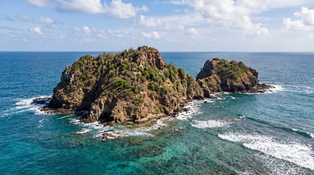
- The Maria Islands - the reserve islets visible offshore.
- Saint Vincent - the neighbouring island across the channel on clear days.
When to go
December to April is the dry season with the clearest air. Haze can cut the view across the channel. Wind at the top is constant.
Practical notes
The lighthouse is closed and the visit is the viewpoint. The road up is steep and narrow. There are no facilities.
Nearby
Vieux Fort is below, and the Maria Islands are offshore.
What to pack for Cap Moule à Chique
Chosen from what this place is for. Tap a kit for the full checklist.
- Comfortable walking shoes - Sightseeing means kilometres of pavement and cobbles daily. Find on Amazon
- A slim anti-theft daypack - Zips that close properly; keep it in front in crowds and on transit. Find on Amazon
- A refillable water bottle - Many cities have public fountains; save money and plastic. Find on Amazon
- A light layer + compact umbrella - For museum air-con and a sudden shower. Find on Amazon
Some links on this page are Amazon affiliate links - if you buy through them we may earn a small commission at no extra cost to you.
All packing kitsPlan your trip
Where to start if Cap Moule à Chique is going on the list.
Booking links on this page are affiliate links - if you book through them we may earn a small commission at no extra cost to you. It never changes what we write about a place.
Opening times, ticket prices and seasonal closures change - check the official source before you go: official site.