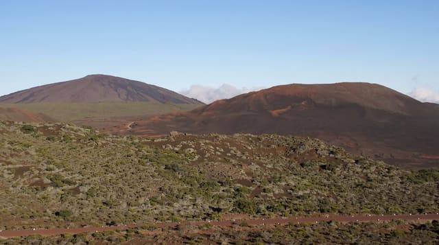
Riviere des Remparts
A vast valley cut into the south of the island, walled on both sides and walked from top to bottom.
Updated 21 October 2026
The Rivière des Remparts has cut a valley more than a thousand metres deep into the southern flank of the island, running about twenty-seven kilometres from the slopes below the Plaine des Sables down to the sea at Saint-Joseph, with near-vertical walls on both sides that give it its name. A classic route walks it end to end, starting from the Nez de Bœuf viewpoint at the top and descending to the hamlet of Roche Plate before continuing to the coast, a long two days.
The landscape
- The valley walls - remparts over a thousand metres high on both sides.
- The Nez de Boeuf viewpoint - the platform at the head of the valley.
- Roche Plate - the hamlet on the valley floor with a gite.
- The through route - the walk from the volcanic plateau down to the sea.
When to go
May to November is the dry season and the only sensible window. The river floods dangerously after rain and the valley floor route becomes impassable. Cyclone season should be avoided entirely.
Practical notes
The valley floor route crosses the riverbed repeatedly and is genuinely dangerous when water levels rise. There is no phone signal for much of it. Transport arrangements at either end need planning.
Nearby
Nez de Boeuf is at the head, and Saint-Joseph is at the mouth.
Key facts
Source: Wikidata, item Q3433902, read on 18 October 2026.
What to pack for Riviere des Remparts
Chosen from what this place is for. Tap a kit for the full checklist.
- Broken-in walking shoes or boots - Grip and ankle support matter more than looks; never hike in brand-new boots. Find on Amazon
- Layers + a waterproof shell - Mountain weather turns fast; a packable rain jacket saves the day. Find on Amazon
- Daypack with rain cover - 20-30 litres holds water, snacks, layers and a first-aid kit. Find on Amazon
- Offline maps + a power bank - Download the trail before you lose signal; carry backup charge. Find on Amazon
Some links on this page are Amazon affiliate links - if you buy through them we may earn a small commission at no extra cost to you.
All packing kitsPlan your trip
Where to start if Riviere des Remparts is going on the list.
Booking links on this page are affiliate links - if you book through them we may earn a small commission at no extra cost to you. It never changes what we write about a place.
Opening times, ticket prices and seasonal closures change - check the official source before you go: official site.