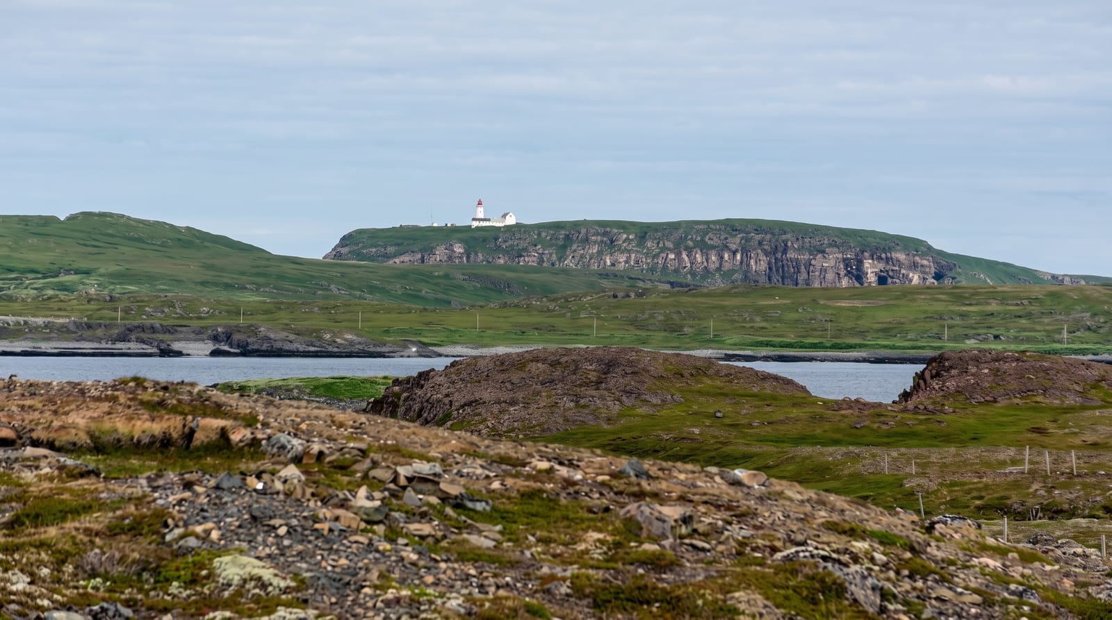
Ponta de São Lourenço
A bare volcanic peninsula at Madeira's eastern tip, striped in red, ochre and black, and unlike the rest of the island.
Updated 21 October 2026
Madeira's eastern tip is a narrow peninsula of exposed volcanic strata almost entirely without trees - which makes it the opposite of everything else on the island. The rock is layered in red, ochre, grey and black, cut by dykes, sculpted by wind into ridges and sea cliffs on both sides, with the sea visible north and south simultaneously along much of the walk. The PR8 trail runs about four kilometres each way from Baía d'Abra to the Casa do Sardinha, an old house now used by the park service, with a steep optional climb to the Morro do Furado at the end. It has been a nature reserve since 1982, holding endemic plants and seabirds, and the offshore Desertas islands are visible. There is no shade whatsoever and the sun here is intense.
The landscape
- The layered rock - red, ochre and black strata cut by volcanic dykes.
- The two coasts - sea on both sides at once along the narrow ridge.
- The treelessness - a bare peninsula unlike anywhere else on Madeira.
- The Desertas - the uninhabited islands visible offshore.
When to go
Year-round; go early to avoid heat and crowds. Three to four hours return. Avoid the middle of the day in summer entirely.
Before you go
No shade at all and no water on the route - carry plenty. Very exposed to wind, with drops beside the path. The car park fills by mid-morning. Trail closures happen in high wind.
Nearby
Caniçal and the whaling museum are west; Machico is beyond.
Key facts
Source: Wikidata, item Q1296587, read on 18 October 2026.
What to pack for Ponta de São Lourenço
Chosen from what this place is for. Tap a kit for the full checklist.
- Broken-in walking shoes or boots - Grip and ankle support matter more than looks; never hike in brand-new boots. Find on Amazon
- Layers + a waterproof shell - Mountain weather turns fast; a packable rain jacket saves the day. Find on Amazon
- Daypack with rain cover - 20-30 litres holds water, snacks, layers and a first-aid kit. Find on Amazon
- Offline maps + a power bank - Download the trail before you lose signal; carry backup charge. Find on Amazon
Some links on this page are Amazon affiliate links - if you buy through them we may earn a small commission at no extra cost to you.
All packing kitsPlan your trip
Where to start if Ponta de São Lourenço is going on the list.
Booking links on this page are affiliate links - if you book through them we may earn a small commission at no extra cost to you. It never changes what we write about a place.
Opening times, ticket prices and seasonal closures change - check the official source before you go: official site.