Pico do Arieiro
Madeira's road-accessible high peak, and the start of a ridge trail with cut steps and unlit tunnels to the island's summit.
Updated 21 October 2026
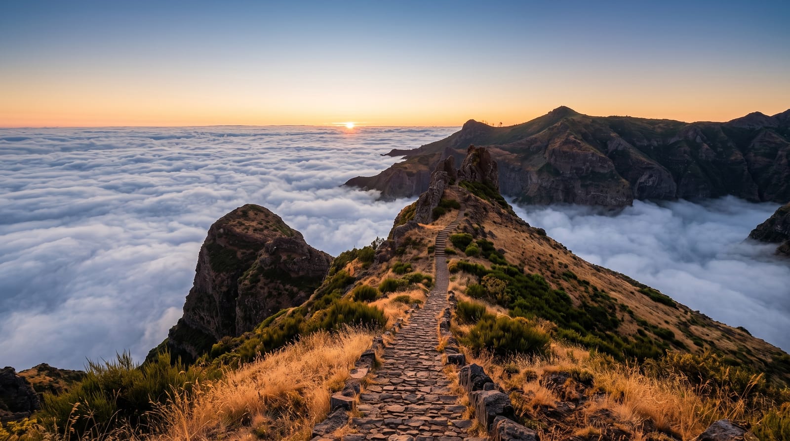
AI illustration
A road runs all the way to Pico do Arieiro, which is unusual for a peak of this height and explains the sunrise crowds. At 1,818 metres, the third highest peak on the island, the summit often sits above the cloud layer, with the volcanic ridges of central Madeira breaking through it. From the car park the PR1 trail sets off along the crest toward Pico Ruivo, the island's highest point, on a path of cut steps, exposed ledges and unlit tunnels that need a torch even at midday. It is a serious walk, with long climbs in both directions and drops beside the path. Most people go out to the first viewpoints and turn back there. An air force radar station has stood beside the summit car park since 2011, and on a clear day Porto Santo shows 48 kilometres to the north-east.
Highlights
- The cloud layer - ridges and peaks standing above a level sea of cloud.
- The PR1 ridge trail - cut steps, ledges and tunnels toward Pico Ruivo.
- The tunnels - unlit rock passages that need a torch at any hour.
- Sunrise from the summit - the reason the car park fills before dawn.
When to go
April to October gives the best odds of a clear ridge, though cloud can arrive within minutes at any time of year. Sunrise is the classic visit and the car park fills well before first light. Check trail status before setting out, since sections close after rain or rockfall. Winter brings ice and occasional snow at this height.
Things to know
Sunrise here is a crowd scene, with cars parked along the road and phones held over the railing. Temperatures at the top run far below Funchal and the wind cuts through light clothing. The ridge trail is demanding, with exposure that unsettles many walkers, and it closes often. On cloudy days you drive an hour for grey.
Nearby
Pico Ruivo, the Ribeiro Frio laurel forest and the Santana north coast.
Key facts
Source: Wikidata, item Q1192102, read on 18 October 2026.
What to pack for Pico do Arieiro
Chosen from what this place is for. Tap a kit for the full checklist.
- Broken-in walking shoes or boots - Grip and ankle support matter more than looks; never hike in brand-new boots. Find on Amazon
- Warm base layers - Merino or synthetic against the skin - never cotton, which chills when damp. Find on Amazon
- Layers for big temperature swings - Warm sun by day, near-freezing at night, even near the equator. Find on Amazon
- Layers + a waterproof shell - Mountain weather turns fast; a packable rain jacket saves the day. Find on Amazon
Some links on this page are Amazon affiliate links - if you buy through them we may earn a small commission at no extra cost to you.
All packing kitsPlan your trip
Where to start if Pico do Arieiro is going on the list.
Booking links on this page are affiliate links - if you book through them we may earn a small commission at no extra cost to you. It never changes what we write about a place.
Opening times, ticket prices and seasonal closures change - check the official source before you go: official site.


