Mount Talinis
The Cuernos de Negros - a twin-horned forest volcano above Dumaguete, with crater lakes, hot springs and a two-day traverse.
Updated 21 October 2026

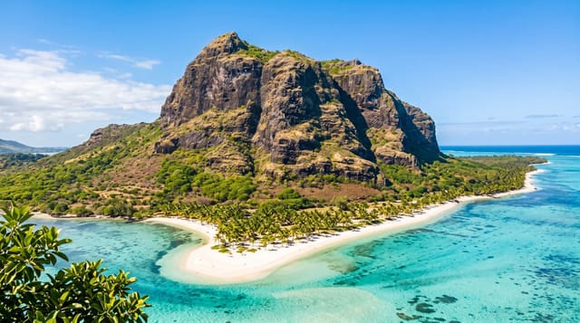
AI illustration
Talinis - the Cuernos de Negros, the horns of Negros, from the two peaks that show from the coast - stands at about 1,862 metres behind Dumaguete, the second-highest mountain on Negros after Kanlaon, a volcano classed as potentially active and wrapped in some of the best remaining forest in the province. The classic route is a two-day traverse from Valencia to Dauin or the reverse, passing Lake Nailig and Lake Yagumyum, small crater lakes sitting in the forest, with campsites beside them, geothermal steam vents and hot springs on the flanks, and mossy forest with a high count of endemic birds and plants. The same heat drives the Southern Negros geothermal field at Palinpinon, so parts of the approach run on service roads. Trails are muddy, leeches are common and the weather at the camps is cold and wet often enough that a proper tent matters. Guides from the trailhead barangays are required, and registration is handled locally.
What you'll find
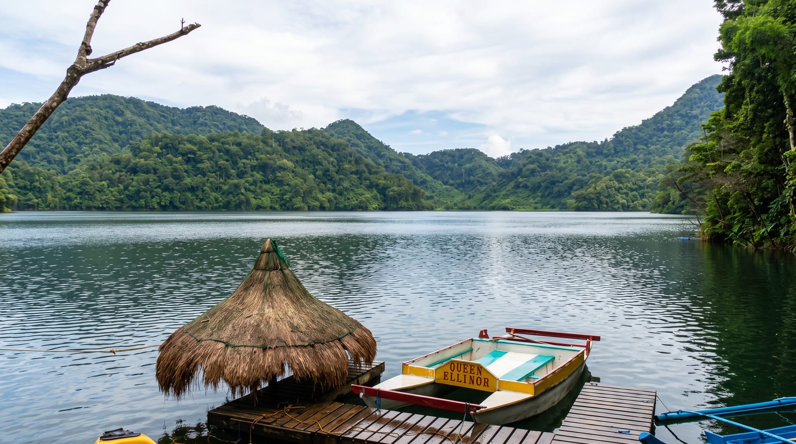
- The crater lakes - Nailig and Yagumyum in the forest.
- The mossy forest - the high belt near the ridges.
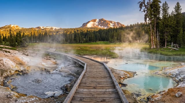
- The steam vents - geothermal activity on the flanks.
- The twin peaks - the horns that name the mountain.
When to go
February to May for the driest trails. The camps are cold and wet at any time of year; rain gear and a warm layer are not optional.
Practical notes
Trails are muddy with leeches in wet spells, and the traverse is a full two days with camping. Guides and registration are mandatory. There is no water at some camps - carry enough.
Nearby
Casaroro Falls, the Valencia hot springs and the Twin Lakes of Balinsasayao are on the same slope; Dauin's dive coast is below.
Key facts
Source: Wikidata, item Q1143188, read on 18 October 2026.
What to pack for Mount Talinis
Chosen from what this place is for. Tap a kit for the full checklist.
- Broken-in walking shoes or boots - Grip and ankle support matter more than looks; never hike in brand-new boots. Find on Amazon
- Layers for big temperature swings - Warm sun by day, near-freezing at night, even near the equator. Find on Amazon
- Shelter suited to the place - Tent, tarp or hut booking - match it to the terrain and rules. Find on Amazon
- Swimwear - Needed at most public thermal pools; some traditional baths are nude and single-sex. Find on Amazon
Some links on this page are Amazon affiliate links - if you buy through them we may earn a small commission at no extra cost to you.
All packing kitsPlan your trip
Where to start if Mount Talinis is going on the list.
Booking links on this page are affiliate links - if you book through them we may earn a small commission at no extra cost to you. It never changes what we write about a place.
Opening times, ticket prices and seasonal closures change - check the official source before you go: official site.