Mount Pulag National Park
Luzon's highest mountain, where a two-day climb ends on a grassland summit standing above a valley full of cloud at dawn.
Updated 4 September 2026

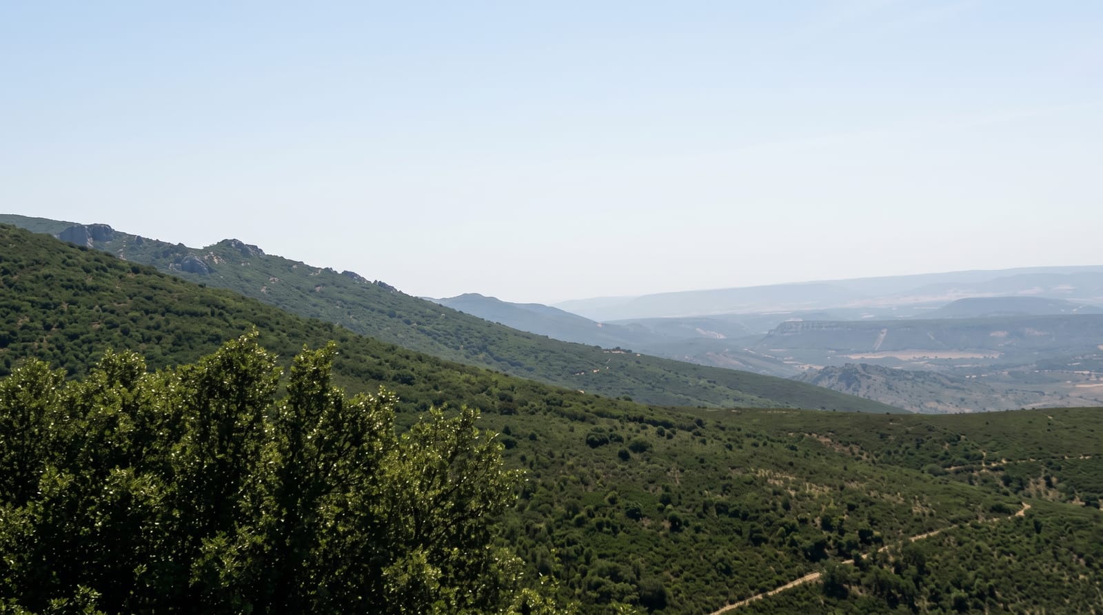
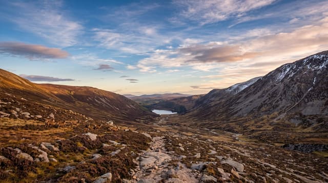
AI illustration
Mount Pulag rises to 2,922 metres, the highest point on Luzon and the third highest in the country, and the reason people climb it is the hour after five in the morning. The summit is not rock but a rolling meadow of dwarf bamboo, and on clear mornings the valleys below fill with cloud so that the ridges stand out of it like islands. The standard Ambangeg route is the gentlest of the trails, a few hours on foot from the ranger station to a camp in mossy forest, then a walk in the dark to the top. Lower down the park protects pine and moss forest, and the ground is cold enough at night to frost.
What's there
- The summit grassland - dwarf bamboo meadow rather than rock, walked up in the dark before sunrise.
- The sea of cloud - valleys filled to the ridgelines on clear mornings, usually gone by nine.
- The mossy forest - moss-hung dwarf trees on the section between the camp and the open ground.
- Camp 2 - the standard overnight camp, cold, exposed and often sitting inside cloud.
When to go
November to February brings the coldest nights and the best odds of a clear dawn, and it is also when the summit frosts. March to May is milder but hazier. The park sets daily quotas and requires a permit, a medical certificate and an orientation talk, so arrange it weeks ahead and expect closures during the wettest months.
Things to know
People underestimate the cold. Temperatures near the summit can fall close to freezing and a thin jacket will not do. The sea of cloud is weather, not a promise, and plenty of groups reach the top to find grey. Camp 2 is crowded at weekends, the toilets are basic, and the road up from Baguio is long and rough.
Nearby
Baguio is the gateway city, and the Cordillera road runs north to Sagada.
Key facts
Source: Wikidata, item Q1950660, read on 18 October 2026.
What to pack for Mount Pulag National Park
Chosen from what this place is for. Tap a kit for the full checklist.
- Broken-in walking shoes or boots - Grip and ankle support matter more than looks; never hike in brand-new boots. Find on Amazon
- Binoculars - The single best wildlife tool - even a compact pair transforms a sighting. Find on Amazon
- Shelter suited to the place - Tent, tarp or hut booking - match it to the terrain and rules. Find on Amazon
- Layers + a waterproof shell - Mountain weather turns fast; a packable rain jacket saves the day. Find on Amazon
Some links on this page are Amazon affiliate links - if you buy through them we may earn a small commission at no extra cost to you.
All packing kitsPlan your trip
Where to start if Mount Pulag National Park is going on the list.
Booking links on this page are affiliate links - if you book through them we may earn a small commission at no extra cost to you. It never changes what we write about a place.
Opening times, ticket prices and seasonal closures change - check the official source before you go: official site.