Morro de Calzada
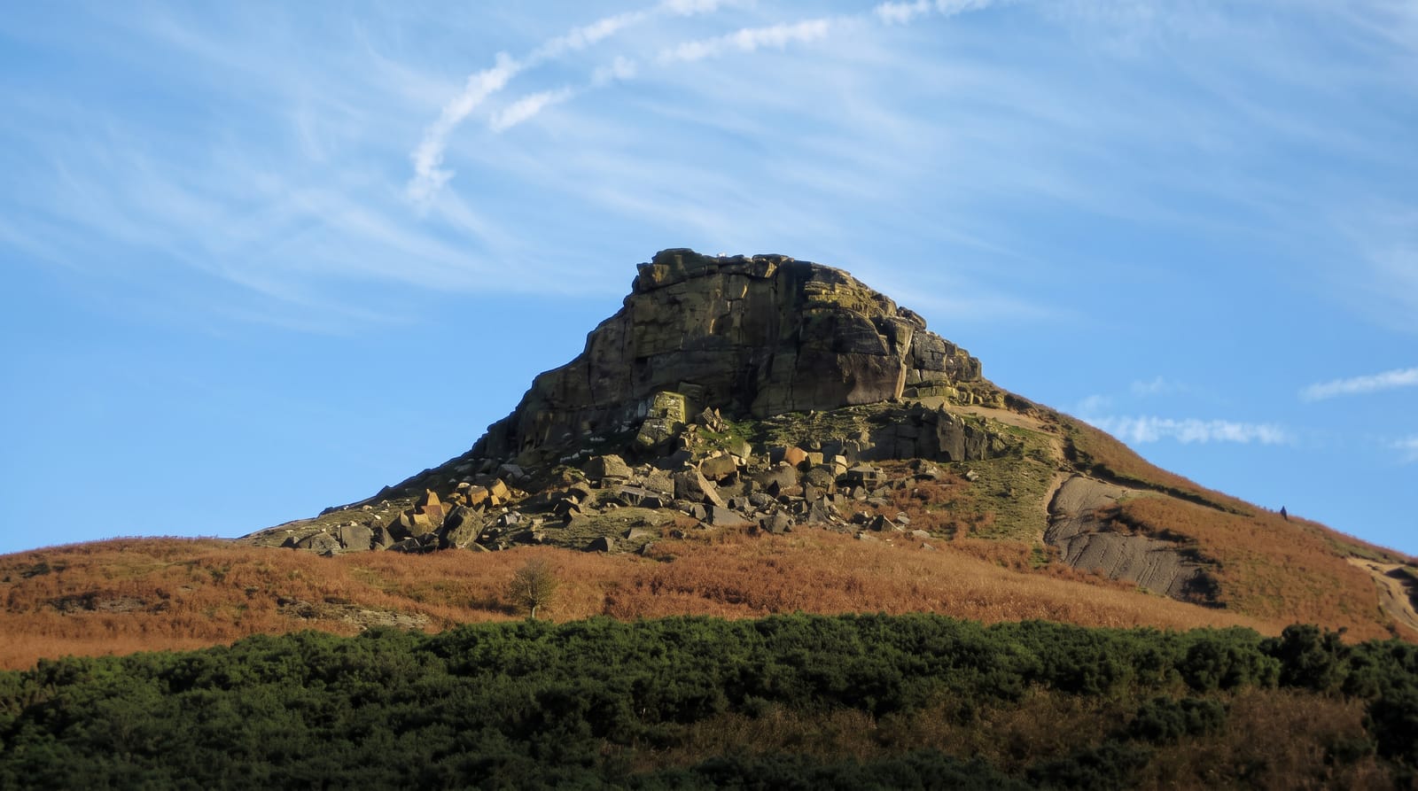
An isolated forested hill rising straight off the Mayo plain, climbed in an hour for the view over rice fields and river.
Updated 28 August 2026
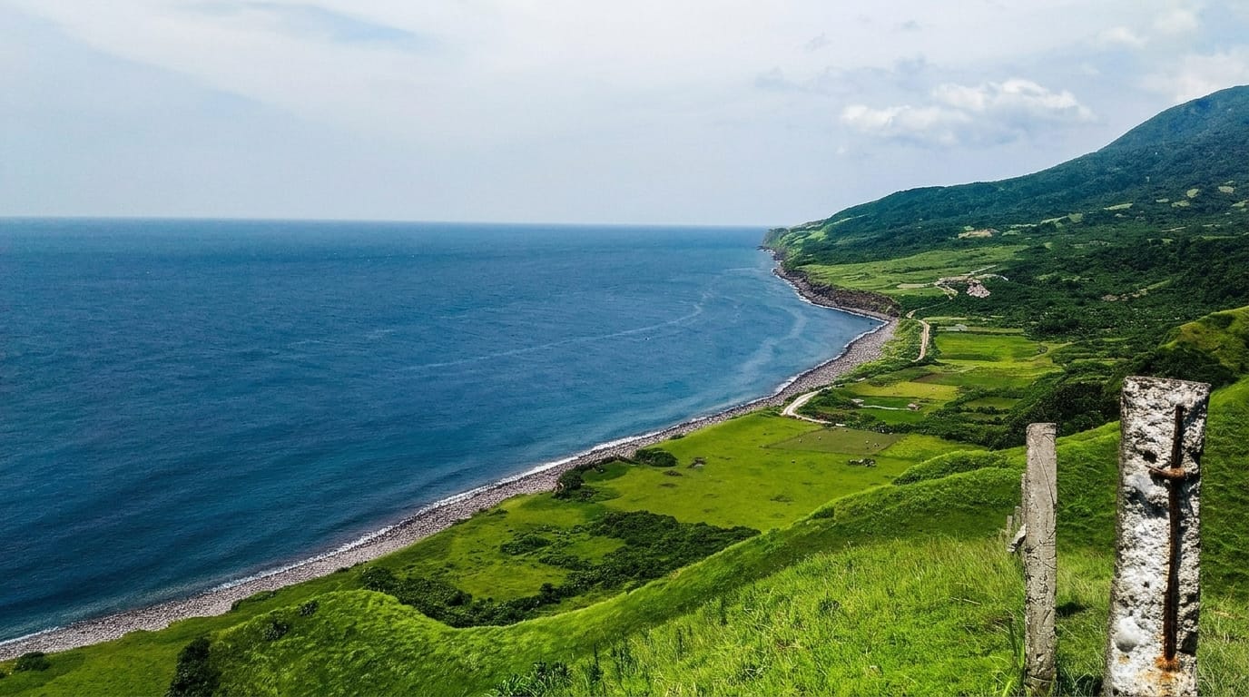
The Morro is a lump of forested rock about seven hundred metres high standing alone out of the flat Mayo valley near the village of Calzada, visible for miles across the rice fields, and it is the standard half-day walk out of Moyobamba. The trail from the base climbs steeply through forest for an hour or so, in places on steps and fixed ropes where the ground gets awkward, and comes out on a summit area with a lookout over the whole valley: the Mayo river winding between paddy fields, Moyobamba and Rioja spread out, the Andean foothills behind. The forest on the way up is worth the walk on its own - orchids, bromeliads, plenty of birds - and the hill is protected as a regional conservation area because it is one of the few patches of standing forest left on the valley floor. It is humid and slippery, and the descent is harder than the climb.
What you'll find
- The isolated hill - about seven hundred metres of forest standing out of flat farmland.
- The summit view - the Mayo river, paddy fields and both valley towns.
- The forest trail - orchids, bromeliads and birds on a steep hour-long climb.
- The protected status - one of the last forest patches on the valley floor.
When to go
May to September is drier; the trail is treacherous after rain. Start early to avoid the heat. Three to four hours return from the base.
What to expect
Steep and slippery with rope-assisted sections - not a stroll. Hot and extremely humid. Cloud can close the summit view entirely. Facilities at the base are minimal.
Nearby
Moyobamba is east; Rioja and the Alto Mayo forest are west.
Key facts
Source: Wikidata, item Q28549793, read on 18 October 2026.
What to pack for Morro de Calzada
Chosen from what this place is for. Tap a kit for the full checklist.
- Broken-in walking shoes or boots - Grip and ankle support matter more than looks; never hike in brand-new boots. Find on Amazon
- Strong insect repellent - DEET or picaridin; the jungle is where bites and disease risk are highest. Find on Amazon
- Layers + a waterproof shell - Mountain weather turns fast; a packable rain jacket saves the day. Find on Amazon
- Long, light, quick-dry clothing - Covers skin from insects and sun without cooking you in the humidity. Find on Amazon
Some links on this page are Amazon affiliate links - if you buy through them we may earn a small commission at no extra cost to you.
All packing kitsPlan your trip
Where to start if Morro de Calzada is going on the list.
Booking links on this page are affiliate links - if you book through them we may earn a small commission at no extra cost to you. It never changes what we write about a place.
Opening times, ticket prices and seasonal closures change - check the official source before you go: official site.