Miraflores Malecón
Ten kilometres of clifftop park above the Pacific in Lima, with paragliders launching straight off the edge.
Updated 28 August 2026
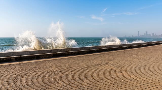
The malecón runs along the top of the barranco, the eroded cliff that separates Miraflores from the sea, as a string of connected parks - Parque del Amor, Parque Yitzhak Rabin, Parque María Reiche, Miraflores lighthouse - with paths, lawns, sculpture and viewpoints for around ten kilometres, continuing into Barranco to the south. Paragliders launch from the cliff edge at the Raimondi park and circle above the buildings on the sea breeze, and tandem flights operate on most days with wind. Below, the Costa Verde highway runs along the shore with beaches that are stony and popular with surfers. Larcomar, a shopping centre built into the cliff face, sits underneath the promenade at one point. The whole thing is at its best on a clear evening, which in Lima means the December to April months; from June to October it is grey.
What to look for
- The clifftop parks - ten kilometres of connected green above the Pacific.
- The paragliders - tandem flights launching directly off the cliff edge.
- The Costa Verde - the shore road and stony surf beaches below.
- Larcomar - the shopping centre built into the cliff face.
When to go
December to April for sun and clear evenings; June to October is grey and damp. Two to three hours to walk a good stretch. Sunset is the busiest and best time.
Good to know
Under the coastal cloud for half the year, when there is no view and no colour. Paragliding is weather-dependent and flights are cancelled often. Busy with runners and cyclists. Normal city caution applies after dark.
Nearby
Parque Kennedy is inland in Miraflores; Barranco is south along the cliff.
Key facts
Source: Wikidata, item Q34562291, read on 18 October 2026.
What to pack for Miraflores Malecón
Chosen from what this place is for. Tap a kit for the full checklist.
- Reef-safe sunscreen - High SPF that will not bleach the coral you are swimming over. Find on Amazon
- Quick-dry clothing - Board shorts or synthetics that shrug off spray and dry fast. Find on Amazon
- Padded shorts - The one thing that makes a full day in the saddle bearable. Find on Amazon
- Comfortable walking shoes - Sightseeing means kilometres of pavement and cobbles daily. Find on Amazon
Some links on this page are Amazon affiliate links - if you buy through them we may earn a small commission at no extra cost to you.
All packing kitsPlan your trip
Where to start if Miraflores Malecón is going on the list.
Booking links on this page are affiliate links - if you book through them we may earn a small commission at no extra cost to you. It never changes what we write about a place.
Opening times, ticket prices and seasonal closures change - check the official source before you go: official site.