Llactapata
An Inca site on the Salkantay route with one of the few distant views of Machu Picchu across the Aobamba gorge.
Updated 28 August 2026
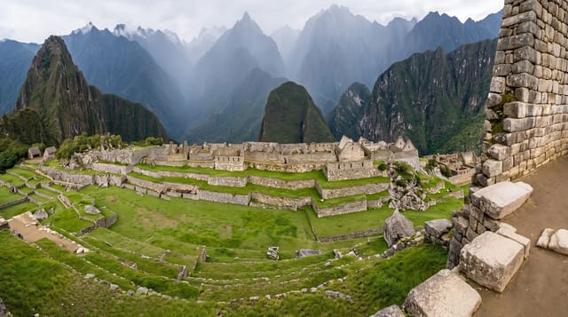
Llactapata sits on a ridge across the Aobamba valley from Machu Picchu, and its interest is twofold. It is an Inca complex in its own right - terraces, enclosures and a long structure, first recorded by Hiram Bingham in 1912 and then effectively lost again until survey work in 2003 mapped it properly. And it looks straight at Machu Picchu, several kilometres away across the gorge, which is a view almost nobody gets: the survey work argued that the alignment is deliberate, with a sightline oriented on the June solstice sunrise linking the two sites, making Llactapata part of a wider ceremonial landscape rather than an isolated outpost. It is on the Salkantay trekking route, reached on the descent from Lucmabamba towards Hidroeléctrica, so it is seen mostly by people walking that route rather than as a destination on its own.
What's there
- The distant view - Machu Picchu across the Aobamba gorge, a rare angle.
- The alignment - a sightline argued to be oriented on the June solstice sunrise.
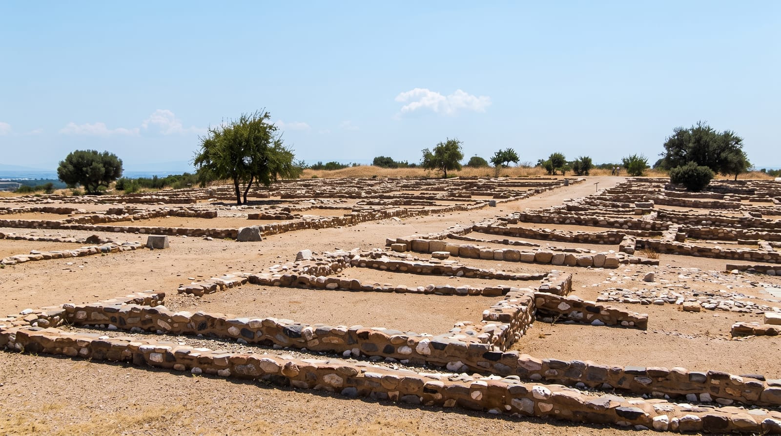
- The ruins - terraces and enclosures, partly cleared from forest.
- The rediscovery - recorded by Bingham in 1912, then properly surveyed only in 2003.
When to go
April to October, on the Salkantay trek. Morning gives the best chance of a clear view across the valley. Half a day as part of a multi-day walk.
What to expect
Reachable only on foot as part of a trek - there is no road. Cloud frequently hides Machu Picchu entirely, which removes the main reason to stop. The ruins themselves are modest and partly overgrown. Steep, humid walking.
Nearby
Hidroeléctrica and the walk to Aguas Calientes are below; Lucmabamba is up the trail.
Key facts
Source: Wikidata, item Q15242571, read on 18 October 2026.
What to pack for Llactapata
Chosen from what this place is for. Tap a kit for the full checklist.
- Broken-in walking shoes or boots - Grip and ankle support matter more than looks; never hike in brand-new boots. Find on Amazon
- Strong insect repellent - DEET or picaridin; the jungle is where bites and disease risk are highest. Find on Amazon
- Comfortable walking shoes - Sightseeing means kilometres of pavement and cobbles daily. Find on Amazon
- Layers + a waterproof shell - Mountain weather turns fast; a packable rain jacket saves the day. Find on Amazon
Some links on this page are Amazon affiliate links - if you buy through them we may earn a small commission at no extra cost to you.
All packing kitsPlan your trip
Where to start if Llactapata is going on the list.
Booking links on this page are affiliate links - if you book through them we may earn a small commission at no extra cost to you. It never changes what we write about a place.
Opening times, ticket prices and seasonal closures change - check the official source before you go: official site.