Lake Titicaca
The highest navigable lake in the world - a vast, deep-blue sheet of water high on the Andean altiplano, dotted with ancient island communities and the famous floating reed islands of the Uros.
Updated 28 August 2026
AI illustration
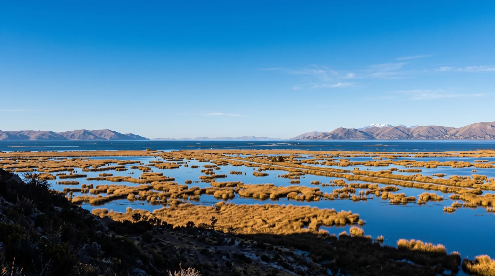
Lake Titicaca is the highest navigable lake in the world, a vast, deep-blue expanse straddling the border of Peru and Bolivia at some 3,800 metres on the Andean altiplano. Sacred to the Incas as the birthplace of the sun, its islands hold ancient communities that keep age-old traditions and weaving alive, most famously the Uros, who live on floating islands built entirely from totora reeds.
The landscape
- The Uros floating islands - the islands built from totora reeds.
- Taquile Island - the community famed for its traditional weaving.
- Amantani - the island for a homestay with local families.
- The lake and altiplano - the vast blue water under the high Andean sky.
When to go
May to September, the dry season, for the clearest weather and calm water; nights are bitterly cold at this altitude year-round, so pack warm layers. A homestay on Amantani or Taquile deepens the experience.
Things to know
At 3,800 metres it is very high, so acclimatise and expect cold nights. The famous Uros floating islands, while genuine, have become heavily touristy and geared to visitors; the further islands like Taquile and Amantani feel more authentic. The strong high-altitude sun burns quickly, so cover up.
Nearby
Puno is the lakeside base; the Bolivian side and the Isla del Sol lie across the border.
Key facts
Source: Wikidata, item Q35342, read on 18 October 2026.
What to pack for Lake Titicaca
Chosen from what this place is for. Tap a kit for the full checklist.
- Reef-safe sunscreen - High SPF that will not bleach the coral you are swimming over. Find on Amazon
- Binoculars - The single best wildlife tool - even a compact pair transforms a sighting. Find on Amazon
- Layers for big temperature swings - Warm sun by day, near-freezing at night, even near the equator. Find on Amazon
- Modest clothing - Shoulders and knees covered - the single most common requirement. Find on Amazon
Some links on this page are Amazon affiliate links - if you buy through them we may earn a small commission at no extra cost to you.
All packing kitsPlan your trip
Where to start if Lake Titicaca is going on the list.
Booking links on this page are affiliate links - if you book through them we may earn a small commission at no extra cost to you. It never changes what we write about a place.
Opening times, ticket prices and seasonal closures change - check the official source before you go: official site.