Cordillera Huayhuash
A compact range of ice peaks south of the Cordillera Blanca, circled on a trekking route of eight to twelve days.
Updated 2 October 2026
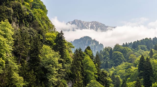
The Huayhuash is much smaller than the Cordillera Blanca to the north but rises higher in relation to its base, a tight cluster of ice peaks around thirty kilometres long with Yerupajá, the second highest mountain in Peru, at its centre. The classic circuit walks right around it over a series of passes, most of them above 4,600 metres, camping beside glacier lakes. There are no roads inside the range and no lodges, so everything is carried, usually by donkey. Communities along the route charge for passage and camping. The scenery stays high alpine throughout: moraine, ice faces, turquoise lakes and grazing land, with condors over the passes.
The landscape
- Yerupajá - the second highest peak in Peru, seen from several points on the circuit.
- The high passes - a sequence of crossings mostly above 4,600 metres, one after another.
- Glacier lakes - Carhuacocha, Viconga and others sitting directly under the ice faces.
- Siula Grande - the sheer wall on the eastern side of the range.
When to go
June to August is the reliable dry window, and even then afternoon cloud and night frost are normal. The wet season from December to March makes the passes dangerous and the camps miserable. Acclimatise around Huaraz for several days before starting. Most people go with an outfitter for donkeys and a cook, since unsupported walking means carrying well over a week of food.
What to expect
This is a serious walk: consecutive passes above 4,600 metres, nights below freezing at camp, and no way to shorten the route once you are inside the range. Altitude sickness ends trips regularly. Community fees add up over the circuit and are collected in cash. Weather can close in for days. Glacial retreat has changed several of the classic views.
Nearby
The Cordillera Blanca and Huaraz lie north, and Chiquián is the usual road head.
Key facts
Source: Wikidata, item Q732567, read on 18 October 2026.
What to pack for Cordillera Huayhuash
Chosen from what this place is for. Tap a kit for the full checklist.
- Broken-in walking shoes or boots - Grip and ankle support matter more than looks; never hike in brand-new boots. Find on Amazon
- Warm base layers - Merino or synthetic against the skin - never cotton, which chills when damp. Find on Amazon
- Layers for big temperature swings - Warm sun by day, near-freezing at night, even near the equator. Find on Amazon
- Shelter suited to the place - Tent, tarp or hut booking - match it to the terrain and rules. Find on Amazon
Some links on this page are Amazon affiliate links - if you buy through them we may earn a small commission at no extra cost to you.
All packing kitsPlan your trip
Where to start if Cordillera Huayhuash is going on the list.
Booking links on this page are affiliate links - if you book through them we may earn a small commission at no extra cost to you. It never changes what we write about a place.
Opening times, ticket prices and seasonal closures change - check the official source before you go: official site.