Manus Island
The main island of the country's northernmost province, with lagoons, reefs and outlying atolls, rarely visited.
Updated 21 October 2026
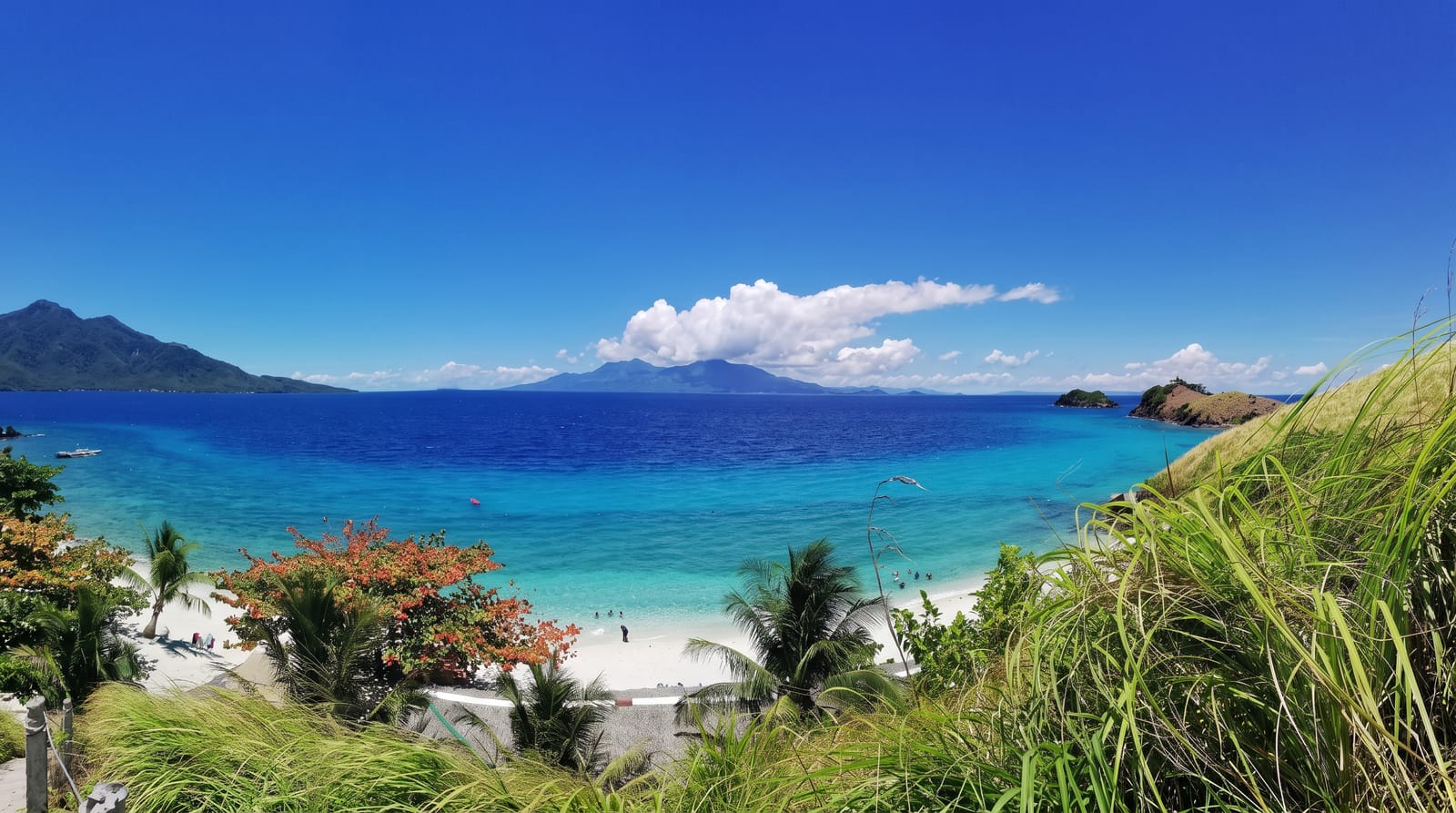
Manus is the largest island of the Admiralty group and the centre of the country's northernmost province, around two thousand square kilometres of forested hills fringed by lagoon and reef, with a scatter of smaller islands and atolls around it including Rambutyo, Baluan and the low coral islands to the north. The reefs are little dived and largely unsurveyed, the lagoons hold clear water, and the island's forests carry endemic birds including the Manus fantail and Manus friarbird found nowhere else. Lorengau is the small provincial town. Margaret Mead did fieldwork here in 1928 and again decades later, and her writing on Manus is widely read.
History
The first recorded European sighting was by the Spanish explorer Álvaro de Saavedra aboard the Florida on 15 August 1528, who sailed around the island and probably landed on Murai islet. The American anthropologist Margaret Mead lived on Manus before and after the war and described it in Growing Up in New Guinea and New Lives for Old (Wikipedia, Manus Island).
What you'll find
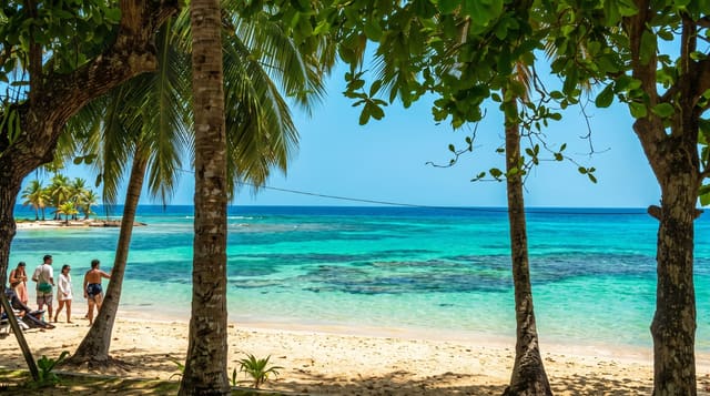
- The lagoons and reefs - the clear water and coral around the island.
- Endemic birds - the Manus species found nowhere else.
- The outer islands - the atolls and smaller islands of the group.
- Lorengau - the small provincial town and its market.
When to go
May to October for the calmest seas and driest weather; the northwest season brings rougher water. Flights connect through Port Moresby and are limited. Boats to the outer islands run informally.
Practical notes
Visitor infrastructure is almost nonexistent; accommodation is a couple of guesthouses in Lorengau and village stays elsewhere. Flights are few and disrupted. Boats to outer islands are arranged informally and depend on weather. Little is organised for visitors.
Nearby
The Admiralty islands surround Manus; Wewak lies south on the mainland.
Key facts
Source: Wikidata, item Q602106, read on 18 October 2026.
What to pack for Manus Island
Chosen from what this place is for. Tap a kit for the full checklist.
- Reef-safe sunscreen - High SPF that will not bleach the coral you are swimming over. Find on Amazon
- Quick-dry towel - A microfibre towel packs small and dries in minutes. Find on Amazon
- Water shoes - Protect your feet on rocky entries, hot sand and sea-urchin spines. Find on Amazon
- Dry bag - Keeps phone, cash and keys safe while you are in the water. Find on Amazon
Some links on this page are Amazon affiliate links - if you buy through them we may earn a small commission at no extra cost to you.
All packing kitsPlan your trip
Where to start if Manus Island is going on the list.
Booking links on this page are affiliate links - if you book through them we may earn a small commission at no extra cost to you. It never changes what we write about a place.
Opening times, ticket prices and seasonal closures change - check the official source before you go: official site.