Nordfjord
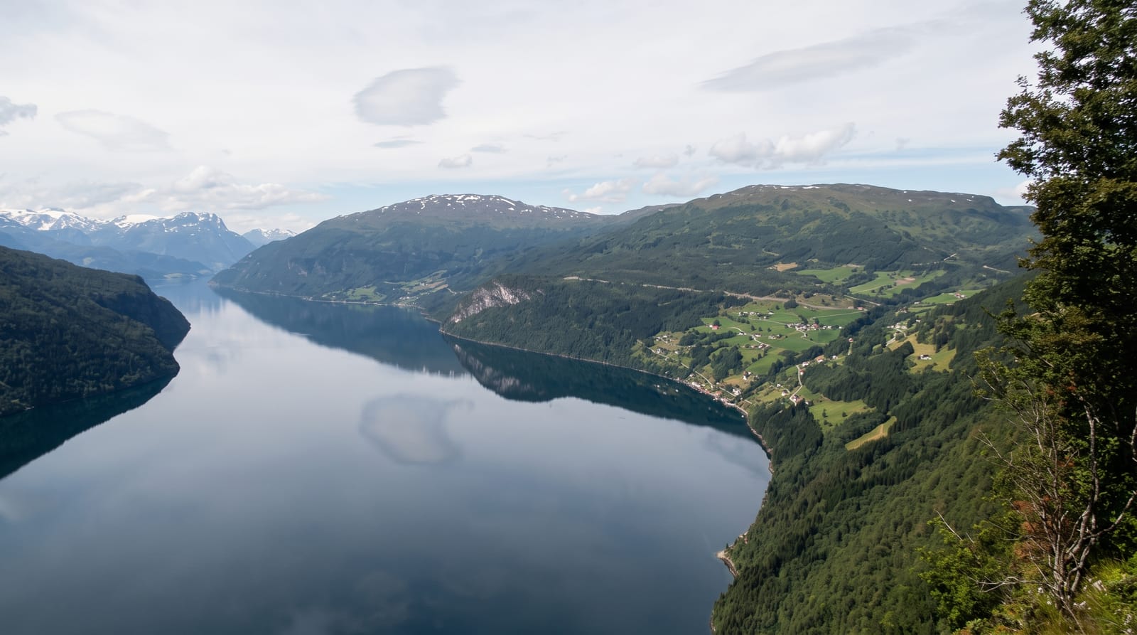
A hundred-kilometre fjord system running from the Jostedalsbreen glacier out to the open sea past Stryn and Loen.
Updated 21 October 2026
AI illustration
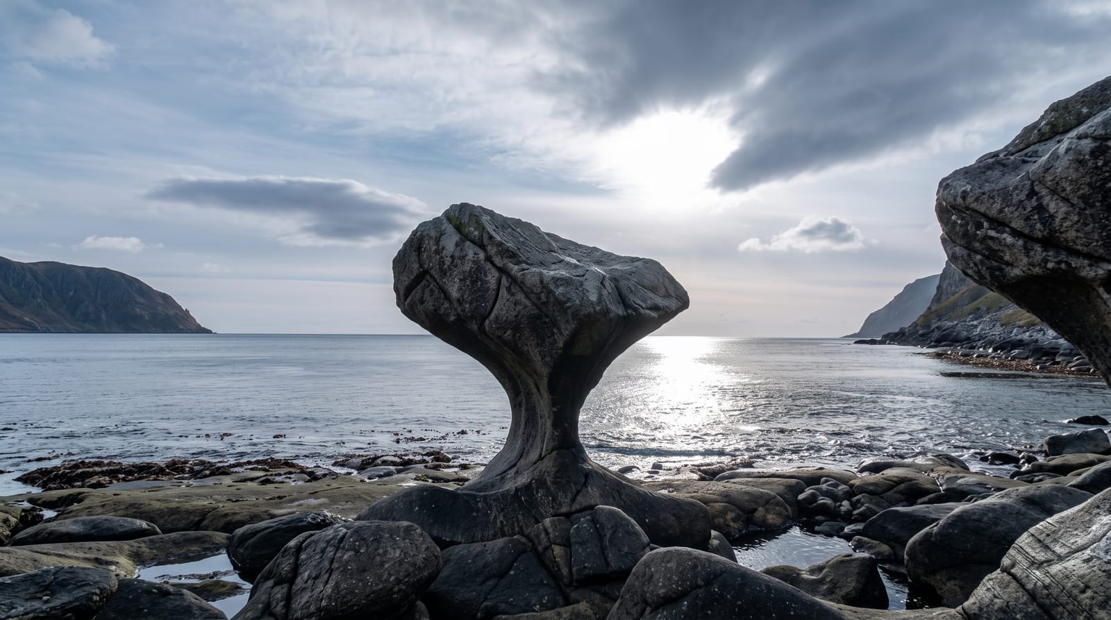
Nordfjord runs about a hundred kilometres inland from the coast at Maloy to the villages of Stryn and Loen under the Jostedalsbreen ice cap, and it packs an unusual range into that distance: open coastal islands and surf beaches at the mouth, sheltered farming country in the middle, and at the head some of the steepest glacier and mountain terrain in the country. The inner end holds Lovatnet's turquoise lake, the Kjenndalsbreen and Briksdalsbreen glacier arms, the Loen Skylift rising a thousand metres in five minutes, and the Via Ferrata routes on Hoven. Stryn has a summer ski centre on the glacier at Tystigen. The whole system is a working landscape of farms and fisheries as much as a scenic one.
History
After the Viking Age the old county of Firdafylke was divided into two halves, Nordfirda and Sunnfirda, and over the centuries these names were shortened into the districts of Nordfjord and Sunnfjord; the name means "northern fjord", in contrast to Sunnfjord, and the district's centre today is Nordfjordeid (Wikipedia, Nordfjord).
What you'll find
- The glacier arms - Briksdalsbreen and Kjenndalsbreen at the inner end.
- Lovatnet - a turquoise glacial lake below steep walls.
- The Loen Skylift - a cable car climbing a thousand metres from the fjord.
- The coastal end - islands, surf beaches and fishing towns at Maloy.
When to go
May to September for open mountain roads, glacier access and full boat schedules; the summer ski centre runs from late spring. Autumn colour in the inner valleys is strong in late September.
Before you go
The fjord is long and the drive between the coast and the head takes hours on winding roads with tunnels. Weather at the inner end is wetter than the coast. Glacier arms have retreated and require longer walks than older guidebooks state.
Nearby
The Geirangerfjord lies north over the mountains; Jostedalsbreen National Park is immediately inland.
Key facts
Source: Wikidata, item Q2443319, read on 18 October 2026.
What to pack for Nordfjord
Chosen from what this place is for. Tap a kit for the full checklist.
- Broken-in walking shoes or boots - Grip and ankle support matter more than looks; never hike in brand-new boots. Find on Amazon
- Travel rod + reel - A packable multi-piece rod fits in a case and covers most holiday fishing. Find on Amazon
- Reef-safe sunscreen - High SPF that will not bleach the coral you are swimming over. Find on Amazon
- Quick-dry clothing - Board shorts or synthetics that shrug off spray and dry fast. Find on Amazon
Some links on this page are Amazon affiliate links - if you buy through them we may earn a small commission at no extra cost to you.
All packing kitsPlan your trip
Where to start if Nordfjord is going on the list.
Booking links on this page are affiliate links - if you book through them we may earn a small commission at no extra cost to you. It never changes what we write about a place.
Opening times, ticket prices and seasonal closures change - check the official source before you go: official site.