Princess Louisa Inlet
A fjord entered through a rapid that runs only at slack tide, ending at a waterfall of forty-five metres.
Updated 19 October 2026
AI illustration
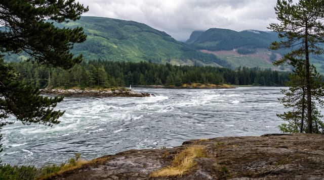
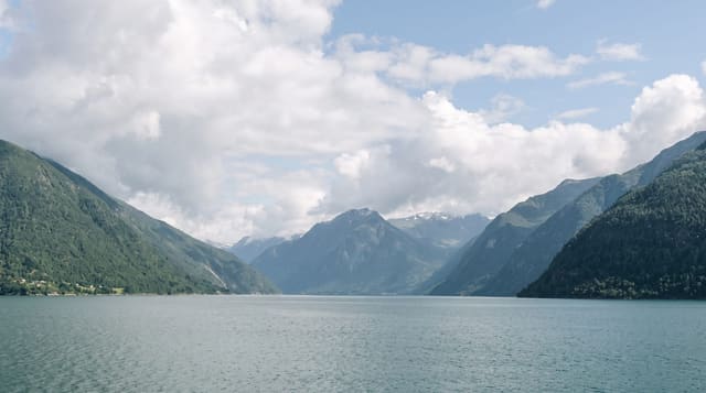
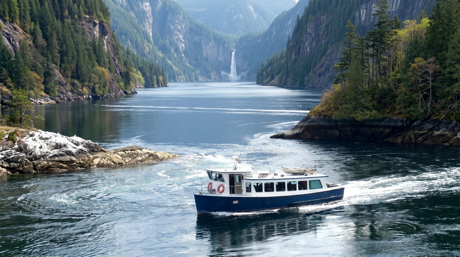
Princess Louisa runs about six kilometres inland with granite walls rising over a thousand metres straight from the water, and it is entered through Malibu Rapids, a gap so narrow and fast that boats can only pass within a window either side of slack tide. At the head, Chatterbox Falls drops about forty-five metres into the inlet, with dozens of smaller falls down the walls after rain. There is no road and no settlement; a marine park provides a dock and a few campsites. Yachtsman James Macdonald bought the head of the inlet in 1927 and gave it to a trust so it would stay public, and it passed to the province in 1964.
History
A shíshálh village, asxwikwu, stood at the mouth of the inlet. In June 1792 George Vancouver found the entrance but did not go in, as the tide was ebbing through Malibu Rapids, and in 1860 Captain George Richards surveyed and named the inlet; James F. MacDonald bought 45 acres along it and gave them in 1953 to the Princess Louisa International Society, and the land passed to BC Parks in 1964, while at the entrance Thomas F. Hamilton's Malibu Club resort, abandoned in 1950, has been a Young Life summer camp for teenagers since 1953 (Wikipedia, Princess Louisa Inlet).
What you'll find
- Malibu Rapids - a tidal gate passable only near slack water.
- Chatterbox Falls - a forty-five metre fall at the head of the inlet.
- The granite walls - cliffs rising over a thousand metres from the water.
- The seasonal falls - dozens of cascades down the walls after rain.
When to go
June to September; boats and float planes operate in that window and moorage is competitive in July and August. The falls are strongest after rain and during spring melt.
Before you go
There is no road access at all; getting here needs a boat, a charter or a float plane. Malibu Rapids timing is unforgiving and boats have been lost there. Dock space is limited and fills.
Nearby
Egmont lies south; Skookumchuck Narrows is on the way.
Key facts
Source: Wikidata, item Q7244674, read on 18 October 2026.
What to pack for Princess Louisa Inlet
Chosen from what this place is for. Tap a kit for the full checklist.
- Broken-in walking shoes or boots - Grip and ankle support matter more than looks; never hike in brand-new boots. Find on Amazon
- Shelter suited to the place - Tent, tarp or hut booking - match it to the terrain and rules. Find on Amazon
- Layers + a waterproof shell - Mountain weather turns fast; a packable rain jacket saves the day. Find on Amazon
- A warm sleeping bag + mat - Rated a little colder than you expect the nights to be. Find on Amazon
Some links on this page are Amazon affiliate links - if you buy through them we may earn a small commission at no extra cost to you.
All packing kitsPlan your trip
Where to start if Princess Louisa Inlet is going on the list.
Booking links on this page are affiliate links - if you book through them we may earn a small commission at no extra cost to you. It never changes what we write about a place.
Opening times, ticket prices and seasonal closures change - check the official source before you go: official site.