Lyngen Alps
A glaciated alpine range rising straight from Arctic fjords east of Tromso, the centre of Norwegian ski touring.
Updated 21 October 2026
AI illustration
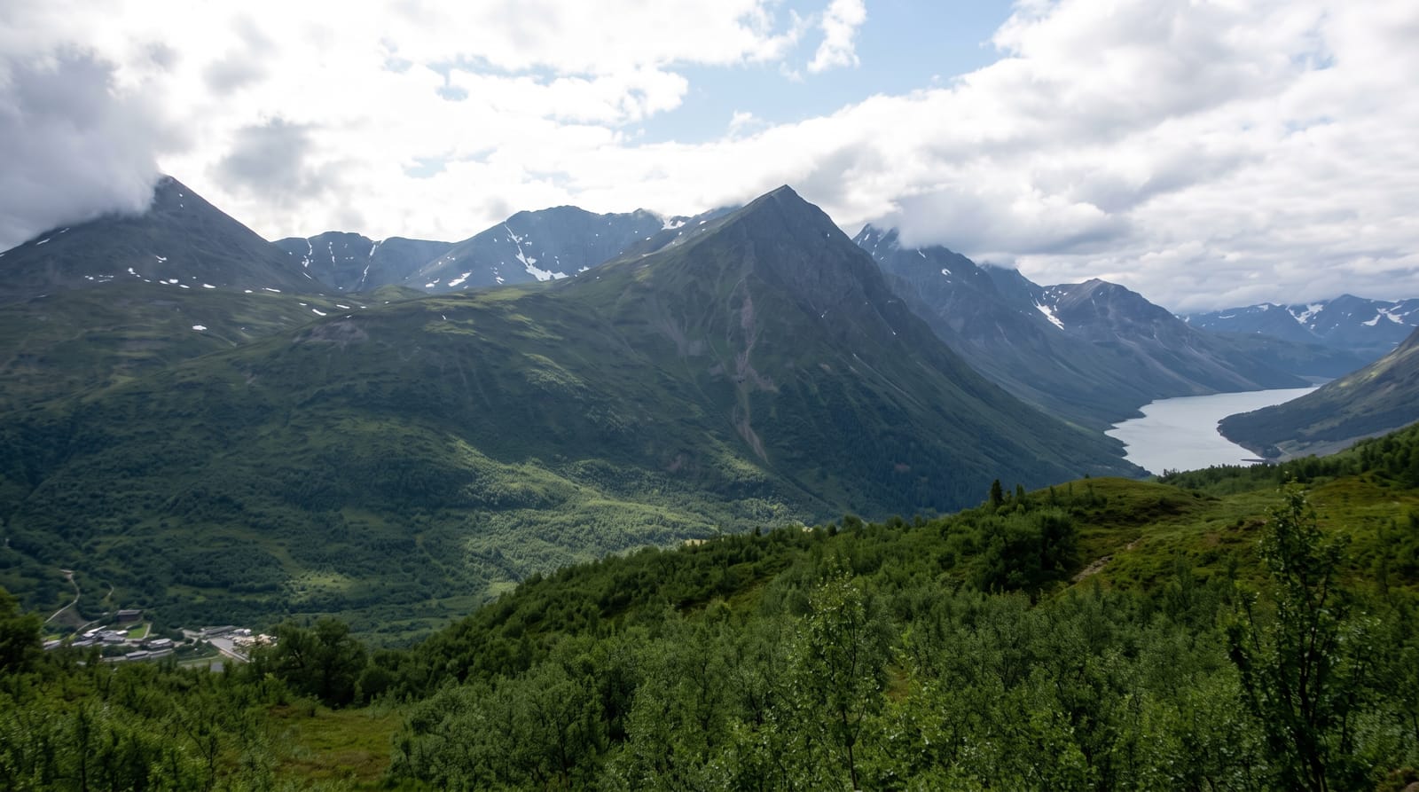
The Lyngen Alps run along a peninsula about ninety kilometres long between the Lyngenfjord and the Ullsfjord, and they are the sharpest mountains in northern Norway: over a hundred summits above a thousand metres, with Jiehkkevarri at 1,834 metres the highest, carrying glaciers and rising from sea level in a single sweep. That vertical range, combined with snow that lasts into June, makes the peninsula the best-known ski-touring destination in the country, with a season running from February to May and boat-based trips that ferry skiers to shoreline start points. In summer the same terrain gives serious hiking and climbing. The peninsula is thinly settled, with Lyngseidet the main village, and Sami herding continues across it.
History
After the peace of 1326 Lyngen marked the western limit of the lands the Novgorod Republic could tax; Swedish Sami resettled on the peninsula in the 18th century, and the Lapland Code of 1751 recognised the Sami right to use pastures across the border. In September 2024 the range received official Northern Sami and Kven names, Ittuvárit and Yykeänvaarat (Wikipedia, Lyngen Alps), and its highest peak, Jiehkkevárri, was first climbed in 1899 by Geoffrey Hastings and Elias Hogrenning (Wikipedia, Jiehkkevárri).
The landscape
- The alpine skyline - over a hundred peaks above a thousand metres.
- The glaciers - remaining ice fields on the higher massifs.
- The ski-touring season - descents from summit to fjord in spring.
- The fjord approaches - boats dropping skiers and walkers at the shore.
When to go
March to May for ski touring, with April the classic month combining snow and light; July to September for walking once the snow has cleared. Weather off the Atlantic changes quickly in every season.
What to expect
This is avalanche terrain and guides are strongly advised for ski touring. Summer routes involve glacier travel and steep scrambling. Accommodation is limited and books out in spring, and ferry timetables shape any itinerary.
Nearby
Tromso lies west across the Ullsfjord; Steindalsbreen and the Lyngseidet ferry are on the peninsula.
Key facts
Source: Wikidata, item Q2080571, read on 18 October 2026.
What to pack for Lyngen Alps
Chosen from what this place is for. Tap a kit for the full checklist.
- Broken-in walking shoes or boots - Grip and ankle support matter more than looks; never hike in brand-new boots. Find on Amazon
- Warm base layers - Merino or synthetic against the skin - never cotton, which chills when damp. Find on Amazon
- Layers + a waterproof shell - Mountain weather turns fast; a packable rain jacket saves the day. Find on Amazon
- An insulated + windproof jacket - A down or synthetic layer under a hard shell handles most cold. Find on Amazon
Some links on this page are Amazon affiliate links - if you buy through them we may earn a small commission at no extra cost to you.
All packing kitsPlan your trip
Where to start if Lyngen Alps is going on the list.
Booking links on this page are affiliate links - if you book through them we may earn a small commission at no extra cost to you. It never changes what we write about a place.
Opening times, ticket prices and seasonal closures change - check the official source before you go: official site.