Andoya Scenic Route
A coastal drive along Andoya between white beaches and steep ridges, ending at a whale-watching port.
Updated 4 September 2026
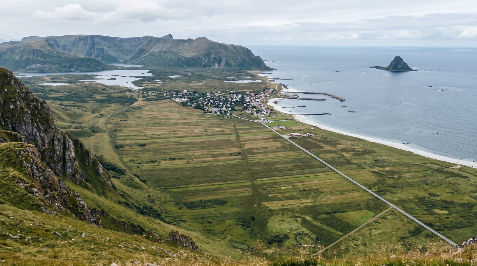
The Andoya national scenic route runs about fifty kilometres down the western side of the island between Andenes and Bjornskinn, with the sea on one side and a wall of steep ridges on the other, passing the long white beach at Bleik with its puffin islet offshore, the peat bogs that cover much of the island's interior, and a series of designed rest stops including the Bukkekjerka site, a rock formation used historically as a Sami sacrificial place, now with a discreet modern pavilion and viewing points. Andenes at the northern end is the base for whale watching, with sperm whales feeding in a deep submarine canyon close to shore, and the Andoya space centre launches research rockets from the same coast.
Highlights
- Bleik beach - a long white sand beach facing a puffin islet.
- Bukkekjerka - a rock formation and Sami site with a modern rest stop.
- The ridge wall - steep mountains running along the eastern side of the road.
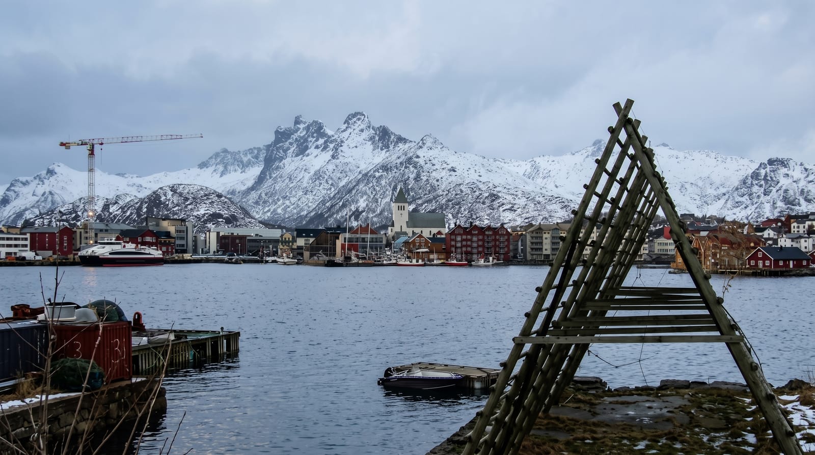
- The whale port - Andenes, with sperm whales feeding offshore.
When to go
May to September for the drive, the whale trips and the midnight sun; whale watching runs from late May to September with sperm whales, and winter trips target orcas and humpbacks further south. The road is open year-round but exposed.
Before you go
The island is flat, boggy and treeless over much of its interior, which some find bleak. Weather is wet and windy, and whale trips are cancelled in swell and are rough when they run. Facilities along the route are limited to the rest stops.
Nearby
Bleik and Andenes are at the northern end; the Vesteralen islands and Dronningruta lie south.
What to pack for Andoya Scenic Route
Chosen from what this place is for. Tap a kit for the full checklist.
- Reef-safe sunscreen - High SPF that will not bleach the coral you are swimming over. Find on Amazon
- Binoculars - The single best wildlife tool - even a compact pair transforms a sighting. Find on Amazon
- Spare batteries + cards - Cold and long shoots drain power; never run out at the good light. Find on Amazon
- Warm base layers - Merino or synthetic against the skin - never cotton, which chills when damp. Find on Amazon
Some links on this page are Amazon affiliate links - if you buy through them we may earn a small commission at no extra cost to you.
All packing kitsPlan your trip
Where to start if Andoya Scenic Route is going on the list.
Booking links on this page are affiliate links - if you book through them we may earn a small commission at no extra cost to you. It never changes what we write about a place.
Opening times, ticket prices and seasonal closures change - check the official source before you go: official site.