Whirinaki Forest
Dense podocarp rainforest saved by a 1980s campaign, described by one biologist as a dinosaur forest.
Updated 27 August 2026
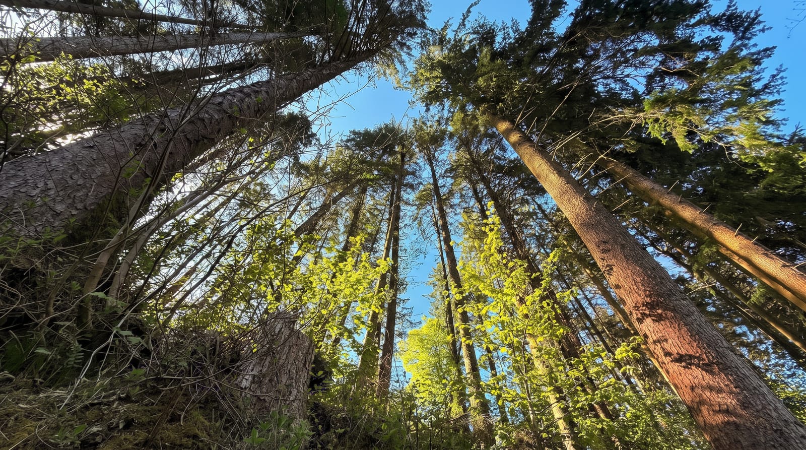
Whirinaki Te Pua-a-Tane holds what is probably the densest stand of podocarp forest left anywhere - rimu, matai, kahikatea, totara and miro packed together on fertile volcanic soil, with a tangled understorey beneath. David Bellamy called it a dinosaur forest, and the description stuck, because these tree families were established long before flowering plants took over the world. Logging here was stopped in the 1980s after a campaign that included tree occupations, and the mills at Minginui closed with it - a cost carried by the local community that is part of the story. Walks range from the short Whirinaki Waterfall Loop to the Whirinaki Track and multi-day circuits with huts. Kiwi, kaka, whio and kakariki are present, and the whio - blue duck - can be seen on the river by anyone who walks quietly. The area is co-managed with Ngati Whare.
What you'll find
- The podocarp density - rimu and matai packed as nowhere else.
- The waterfall loop - the short walk from the road end.
- Whio on the river - blue duck in the rapids, for the quiet.
- The river tracks - day walks and multi-day circuits with huts.
When to go
October to April. Huts need booking. Rivers rise fast after rain and some routes have unbridged crossings - check conditions.
Practical notes
The access road is partly unsealed and remote; there is little phone coverage. Facilities at Minginui are minimal. Sandflies are persistent near water. Longer routes need real tramping equipment.
Nearby
Te Urewera lies south-east; Rotorua and Murupara are north-west.
Key facts
Source: Wikidata, item Q49332883, read on 18 October 2026.
What to pack for Whirinaki Forest
Chosen from what this place is for. Tap a kit for the full checklist.
- Broken-in walking shoes or boots - Grip and ankle support matter more than looks; never hike in brand-new boots. Find on Amazon
- Strong insect repellent - DEET or picaridin; the jungle is where bites and disease risk are highest. Find on Amazon
- Shelter suited to the place - Tent, tarp or hut booking - match it to the terrain and rules. Find on Amazon
- Layers + a waterproof shell - Mountain weather turns fast; a packable rain jacket saves the day. Find on Amazon
Some links on this page are Amazon affiliate links - if you buy through them we may earn a small commission at no extra cost to you.
All packing kitsPlan your trip
Where to start if Whirinaki Forest is going on the list.
Booking links on this page are affiliate links - if you book through them we may earn a small commission at no extra cost to you. It never changes what we write about a place.
Opening times, ticket prices and seasonal closures change - check the official source before you go: official site.