Whanganui National Park
Rainforest around a river that is a legal person, travelled by canoe rather than on foot.
Updated 21 October 2026
AI illustration
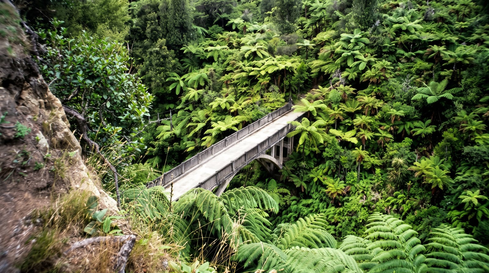
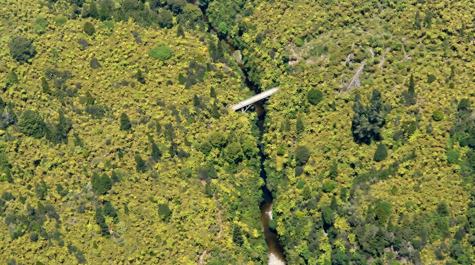
The park is the lowland rainforest either side of the Whanganui River, and the river is the point - in 2017 it became Te Awa Tupua, the first river in the world granted legal personhood, with its own guardians representing it. The Whanganui Journey is officially a Great Walk that involves no walking: three to five days paddling from Taumarunui or Whakahoro down to Pipiriki through a gorge of papa cliffs, ferns and side streams, staying at huts and campsites along the bank. Halfway down, a side walk of about forty minutes leads to the Bridge to Nowhere - a concrete road bridge completed in 1936 for a soldier settlement scheme that failed, now standing in regrowth forest with no road at either end. Jet boats run to it for those not paddling. Road access is limited: the Whanganui River Road on the lower river, and long gravel roads elsewhere.
History
The Whanganui River was a major Māori trade and communication route into the central North Island, lined with pā known as "the plaited rope of Hinengākau", after an ancestor of Te Āti Haunui-a-Pāpārangi. Flour mills were built along it between the 1840s and 1860s, chapels followed the conversions to Christianity of the 1840s, and the national park was established in 1986 (Wikipedia, Whanganui National Park).
What you'll find
- The river gorge - papa cliffs and fern walls from water level.
- The Bridge to Nowhere - a 1936 bridge in forest with no road.
- The Great Walk by canoe - three to five days, huts along the bank.
- The river as a legal person - the Te Awa Tupua settlement.
When to go
October to April. Book huts, campsites and canoe hire well ahead - operators handle transport, which is most of the logistics. River levels rise fast after rain.
What to expect
The Journey is paddling, not walking, and needs no experience but does need commitment - there is no easy exit mid-river. Sandflies are constant. Phone coverage is essentially nil. Jet boat noise reaches parts of the river.
Nearby
Whanganui city is downstream; Taumarunui and the Forgotten World Highway are north.
Key facts
Source: Wikidata, item Q141735, read on 18 October 2026.
What to pack for Whanganui National Park
Chosen from what this place is for. Tap a kit for the full checklist.
- Broken-in walking shoes or boots - Grip and ankle support matter more than looks; never hike in brand-new boots. Find on Amazon
- Quick-dry clothing - Board shorts or synthetics that shrug off spray and dry fast. Find on Amazon
- Binoculars - The single best wildlife tool - even a compact pair transforms a sighting. Find on Amazon
- Strong insect repellent - DEET or picaridin; the jungle is where bites and disease risk are highest. Find on Amazon
Some links on this page are Amazon affiliate links - if you buy through them we may earn a small commission at no extra cost to you.
All packing kitsPlan your trip
Where to start if Whanganui National Park is going on the list.
Booking links on this page are affiliate links - if you book through them we may earn a small commission at no extra cost to you. It never changes what we write about a place.
Opening times, ticket prices and seasonal closures change - check the official source before you go: official site.