Karangahape Road
Auckland's ridge-top strip of galleries, record shops and late bars, cut off from the city by a motorway in the 1960s.
Updated 21 October 2026
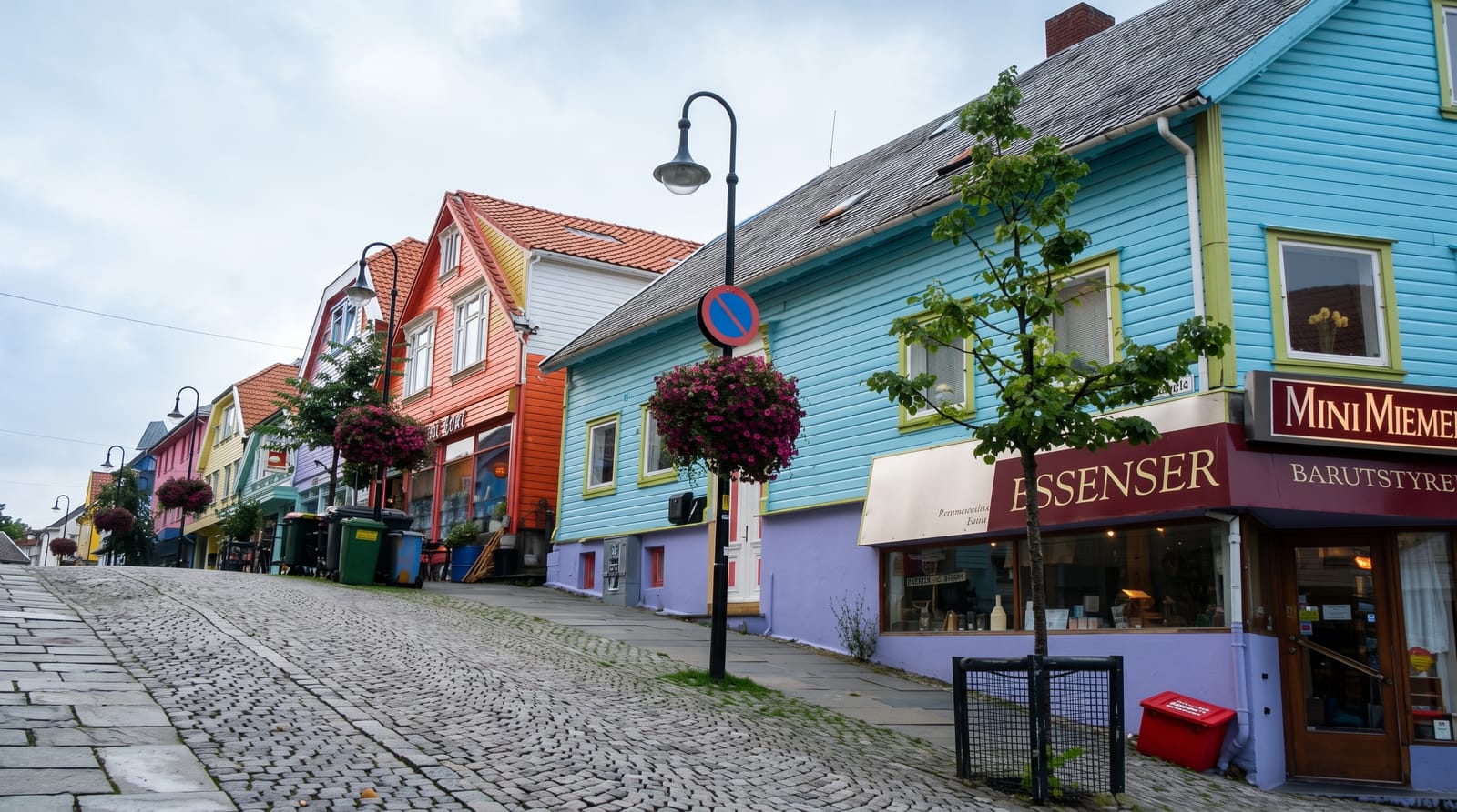
K Road runs along a ridge above the central city and was Auckland's main shopping street until the 1960s, when the Central Motorway Junction was driven through and cut it off from Queen Street and Newton, taking the through traffic and a large share of the trade with it. What followed is the usual sequence: rents collapsed, the street became a red-light and alternative district through the seventies and eighties, and artists, record shops, second-hand dealers, queer bars and small galleries filled the cheap space. It has kept that character longer than most such streets, though rising rents and the new rail station opening beneath it are pushing the usual way. The Edwardian shopfronts survive largely intact above the ground floors, which is worth looking up for. St Kevins Arcade, with its steps down to Myers Park, is the standard photograph.
History
The ridge was a Māori walking route, Te Ara o Karangahape, older than Queen Street, and the Karangahape Road District was formed on 5 October 1868 before joining the City of Auckland in 1882. From about 1900 to the early 1960s it was Auckland's busiest shopping street; in 1935 a mile of shopfronts was lit under the awnings as the "Great White Way", and in 1949 it got the first fluorescent street lights in New Zealand (Wikipedia, Karangahape Road).
What's there
- The Edwardian facades - intact above the shopfronts, worth looking up.
- St Kevins Arcade - and the steps down into Myers Park.
- The galleries and record shops - what filled the space after the motorway.
- The nightlife - bars and venues running late.
When to go
Evenings for the bars and venues; daytime for the galleries and shops, most of which open late morning. Any season.
What to expect
It is a working inner-city street with a visible street population and some rough edges at night, which is part of its character rather than a failing. Gentrification is changing it fast. Parking is difficult.
Nearby
Ponsonby is west; Queen Street and the city centre are downhill.
Key facts
Source: Wikidata, item Q3192946, read on 18 October 2026.
What to pack for Karangahape Road
Chosen from what this place is for. Tap a kit for the full checklist.
- Comfortable walking shoes - Sightseeing means kilometres of pavement and cobbles daily. Find on Amazon
- A slim anti-theft daypack - Zips that close properly; keep it in front in crowds and on transit. Find on Amazon
- A refillable water bottle - Many cities have public fountains; save money and plastic. Find on Amazon
- A light layer + compact umbrella - For museum air-con and a sudden shower. Find on Amazon
Some links on this page are Amazon affiliate links - if you buy through them we may earn a small commission at no extra cost to you.
All packing kitsPlan your trip
Where to start if Karangahape Road is going on the list.
Booking links on this page are affiliate links - if you book through them we may earn a small commission at no extra cost to you. It never changes what we write about a place.
Opening times, ticket prices and seasonal closures change - check the official source before you go: official site.