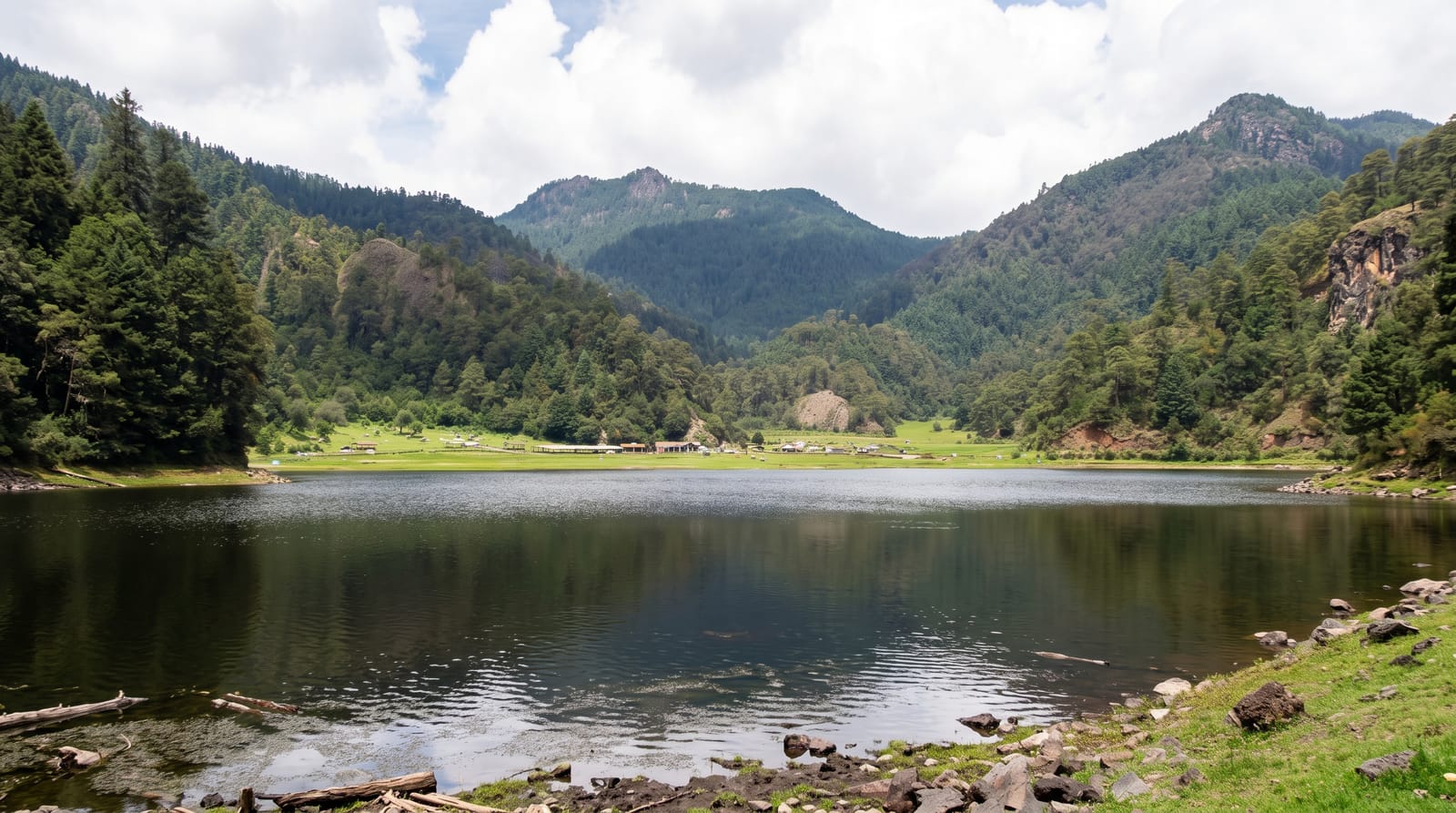
Blue Lake Tikitapu
A small forest-ringed lake that reads blue beside its green neighbour, with a swimmable beach and a flat loop track.
Updated 21 October 2026
Tikitapu and Rotokakahi sit side by side separated by a narrow ridge, and from the lookout on the road between them one reads blue and the other green - the difference comes from what is on the bottom, pumice and rhyolite under Tikitapu against a more mineral-rich bed in the other. Tikitapu is the one you can use: a sandy beach, a swimming area with a floating platform in summer, and a 5.5-kilometre track round the shore through redwoods and native bush, flat enough for families and rideable on a bike. Rotokakahi, the Green Lake, is privately owned by Tuhourangi and is tapu - no boats, no swimming, no access to the shore - and that restriction is why the two look different in another way too: one has a beach with people on it, the other has nothing. Water skiing and boats are allowed on Tikitapu in the marked area.
History
The name Tikitapu refers to a sacred greenstone necklace believed to have been lost by the daughter of a high-ranking chief as she bathed in the lake. Māori legend also tells of Kataore, a taniwha that lived in a cave by the lake (Wikipedia, Lake Tikitapu).
The landscape
- The colour contrast - blue Tikitapu beside green Rotokakahi.
- The loop track - 5.5 flat kilometres through redwood and native bush.
- The swimming beach - sand, shallow entry, platform in summer.
- The lookout - the viewpoint over both lakes from the road.
When to go
December to March for swimming; the loop is good year round. Weekday mornings are quiet; summer weekends fill the car park and the beach.
Things to know
The Green Lake next door is tapu and privately owned - no access to its shore or water, and that is respected locally. Tikitapu's water is cool even in summer. Boats and skiers share part of the lake.
Nearby
The redwood forest is west; Lake Tarawera and Te Wairoa are east.
Key facts
Source: Wikidata, item Q1662351, read on 18 October 2026.
What to pack for Blue Lake Tikitapu
Chosen from what this place is for. Tap a kit for the full checklist.
- Reef-safe sunscreen - High SPF that will not bleach the coral you are swimming over. Find on Amazon
- Padded shorts - The one thing that makes a full day in the saddle bearable. Find on Amazon
- Head torch + spare batteries - Hands-free light is essential; caves are truly dark. Find on Amazon
- Modest clothing - Shoulders and knees covered - the single most common requirement. Find on Amazon
Some links on this page are Amazon affiliate links - if you buy through them we may earn a small commission at no extra cost to you.
All packing kitsPlan your trip
Where to start if Blue Lake Tikitapu is going on the list.
Booking links on this page are affiliate links - if you book through them we may earn a small commission at no extra cost to you. It never changes what we write about a place.
Opening times, ticket prices and seasonal closures change - check the official source before you go: official site.