Blokzijl
A seventeenth-century harbour village that lost its sea, now a marina with a lock at the end of the reed lands.
Updated 29 August 2026
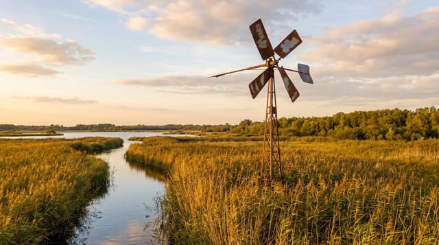
Blokzijl grew in the early seventeenth century as a fortified harbour on the Zuiderzee, shipping turf out of the Overijssel peat country, and the money is visible in the buildings: a small harbour surrounded on all four sides by gabled brick merchant houses, a lock, and the Grote Kerk of 1609 with a pulpit and a painted ceiling. It was a walled town with earthworks, of which fragments remain. When the Noordoostpolder was pumped dry in the 1940s the sea in front of it became inland water and then a narrow lake, so Blokzijl stopped being a port. It is now a marina at the edge of the Weerribben-Wieden reed lands, the largest peat wetland in western Europe, and the boats come through the lock into the enclosed harbour, which is the pleasant part. The village is very small and has a couple of good restaurants.
What's there
- A harbour enclosed on four sides - gabled merchant houses round the water.
- A working lock - boats coming through into the old harbour.
- A church of 1609 - with a carved pulpit and painted ceiling.
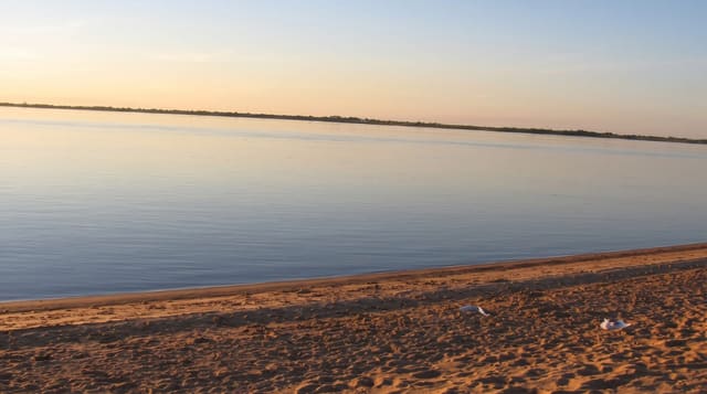
- A lost sea - the Zuiderzee closed and the polder pumped, leaving a narrow lake.
When to go
April to October. Half a day.
What to expect
It is very small - two hours. Busy with boaters in summer and quiet the rest of the year. The church keeps limited hours. Public transport is by bus and infrequent.
Nearby
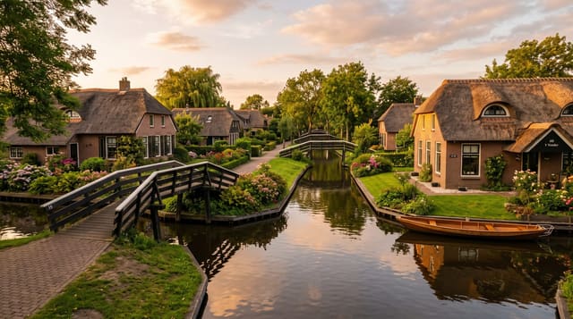
The Weerribben-Wieden wetlands are east; Giethoorn is south-east.
Key facts
Source: Wikidata, item Q59605, read on 18 October 2026.
What to pack for Blokzijl
Chosen from what this place is for. Tap a kit for the full checklist.
- Comfortable walking shoes - Sightseeing means kilometres of pavement and cobbles daily. Find on Amazon
- A slim anti-theft daypack - Zips that close properly; keep it in front in crowds and on transit. Find on Amazon
- A refillable water bottle - Many cities have public fountains; save money and plastic. Find on Amazon
- A light layer + compact umbrella - For museum air-con and a sudden shower. Find on Amazon
Some links on this page are Amazon affiliate links - if you buy through them we may earn a small commission at no extra cost to you.
All packing kitsPlan your trip
Where to start if Blokzijl is going on the list.
Booking links on this page are affiliate links - if you book through them we may earn a small commission at no extra cost to you. It never changes what we write about a place.
Opening times, ticket prices and seasonal closures change - check the official source before you go: official site.