Port Fairy
A whaling and sealing port of the 1830s with more than fifty classified buildings, a folk festival and a shearwater island.
Updated 18 October 2026
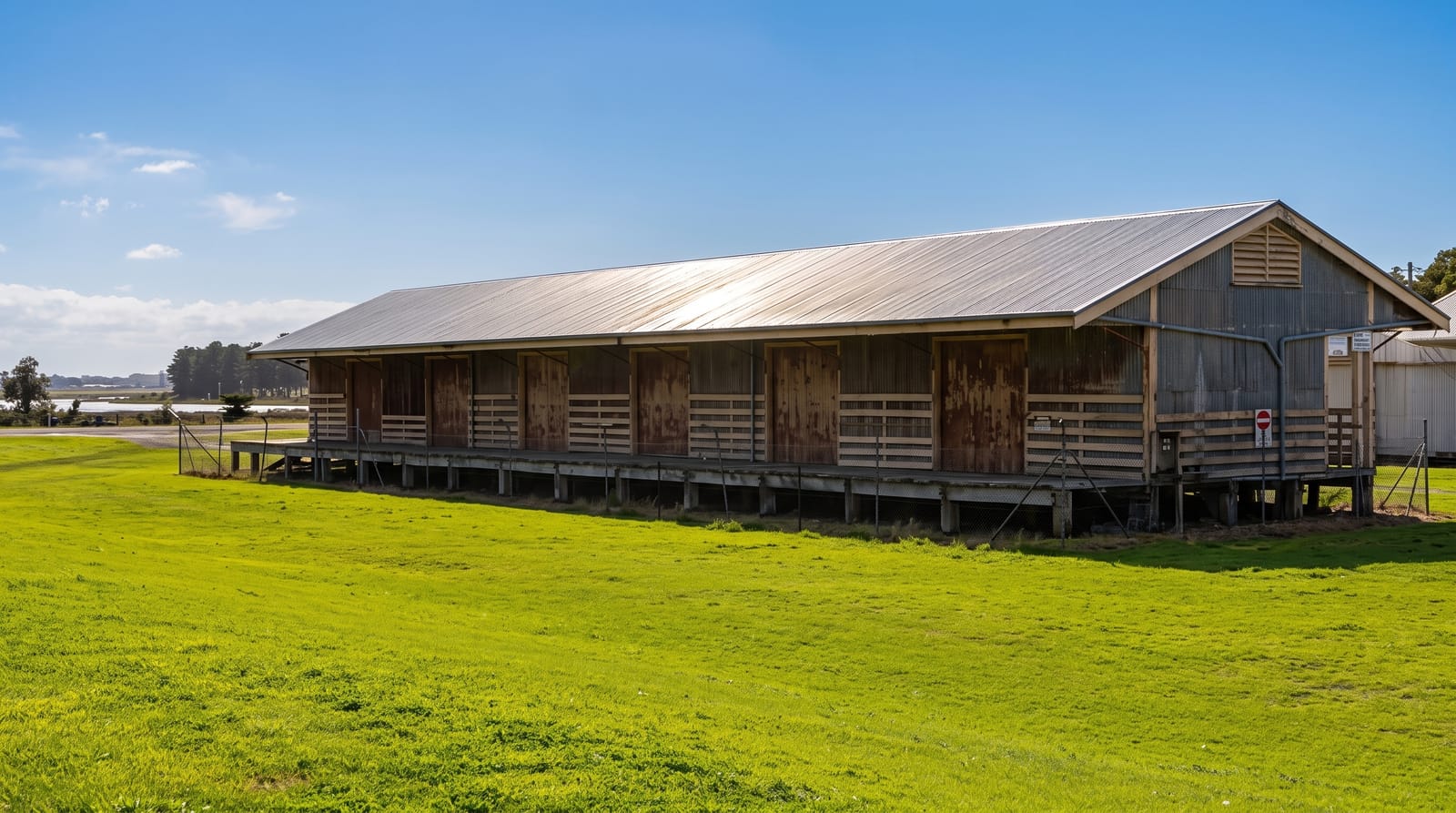
AI illustration
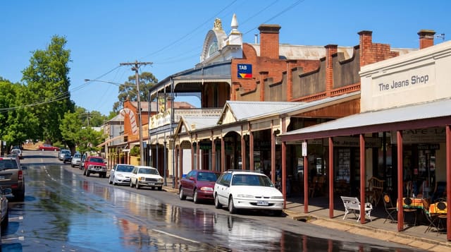
Port Fairy began as a base for whalers and sealers working Bass Strait in the 1830s, before the official settlement of Melbourne, and its stone and timber cottages, churches, hotels and wharf survive in unusual number, with more than fifty buildings classified by the National Trust and the whole town designated as a heritage area. The Moyne River runs through it to a fishing fleet moorings. Griffiths Island at the river mouth, joined by a causeway, holds a lighthouse and a colony of short-tailed shearwaters, muttonbirds, which return each September from the North Pacific and fly in at dusk through summer. The Port Fairy Folk Festival each March is among the largest in Australia.
History
The Pyipkil gunditj clan, speakers of Peek Whurrong, lived in the area they called Pyipkil or Ummut, building stone and timber fish weirs, drainage canals and woven eel traps, and the Eastern Maar are recognised as the traditional owners. Whalers and sealers worked this coast early in the 19th century, the crew of the sealing cutter The Fairy reportedly named the bay in 1828, and John Griffiths set up a whaling station in 1835; in 1843 the Sydney solicitor James Atkinson bought the land, drained the swamps, built a harbour on the Moyne River and named the town Belfast after his home town (Wikipedia, Port Fairy).
What you'll find
- The heritage streets - stone and timber buildings from the 1840s onward.
- Griffiths Island - the lighthouse and the shearwater colony at dusk.
- The Moyne River wharf - the working fishing fleet in the town centre.
- The folk festival - the March event filling the town with music.
When to go
October to April for warm weather and the shearwaters, which are ashore from late September to April with the best viewing at dusk. The folk festival falls over the March long weekend and books out the region a year ahead. Winter is cold and windy.
What to expect
Accommodation is expensive and scarce in summer and impossible during the festival. Shearwater viewing depends on dusk timing and the birds are easily disturbed, so staying on the path matters. The coast here is cold and the wind persistent.
Nearby
Warrnambool and Logans Beach lie east; the Great Ocean Road begins further along the coast.
Key facts
Source: Wikidata, item Q459900, read on 18 October 2026.
What to pack for Port Fairy
Chosen from what this place is for. Tap a kit for the full checklist.
- Travel rod + reel - A packable multi-piece rod fits in a case and covers most holiday fishing. Find on Amazon
- Comfortable walking shoes - Sightseeing means kilometres of pavement and cobbles daily. Find on Amazon
- A small tackle selection - Hooks, weights, line and a few lures or flies suited to local waters. Find on Amazon
- A slim anti-theft daypack - Zips that close properly; keep it in front in crowds and on transit. Find on Amazon
Some links on this page are Amazon affiliate links - if you buy through them we may earn a small commission at no extra cost to you.
All packing kitsPlan your trip
Where to start if Port Fairy is going on the list.
Booking links on this page are affiliate links - if you book through them we may earn a small commission at no extra cost to you. It never changes what we write about a place.
Opening times, ticket prices and seasonal closures change - check the official source before you go: official site.